118 Regent Dr Branson, MO 65616
Table Rock NeighborhoodEstimated Value: $413,959 - $516,000
3
Beds
1
Bath
1,980
Sq Ft
$240/Sq Ft
Est. Value
About This Home
This home is located at 118 Regent Dr, Branson, MO 65616 and is currently estimated at $475,990, approximately $240 per square foot. 118 Regent Dr is a home located in Taney County with nearby schools including Cedar Ridge Primary, Cedar Ridge Intermediate School, and Cedar Ridge Elementary School.
Ownership History
Date
Name
Owned For
Owner Type
Purchase Details
Closed on
Feb 6, 2012
Sold by
Wilson Timothy A
Bought by
Wilson Timothy A and Wilson Carole A
Current Estimated Value
Home Financials for this Owner
Home Financials are based on the most recent Mortgage that was taken out on this home.
Original Mortgage
$250,000
Outstanding Balance
$171,767
Interest Rate
3.95%
Mortgage Type
New Conventional
Estimated Equity
$304,223
Purchase Details
Closed on
Sep 21, 2006
Sold by
Bekemeier Rick and Bekemeier Kima
Bought by
Wilson Timothy A and Wilson Carole A
Create a Home Valuation Report for This Property
The Home Valuation Report is an in-depth analysis detailing your home's value as well as a comparison with similar homes in the area
Home Values in the Area
Average Home Value in this Area
Purchase History
| Date | Buyer | Sale Price | Title Company |
|---|---|---|---|
| Wilson Timothy A | -- | None Available | |
| Wilson Timothy A | -- | -- |
Source: Public Records
Mortgage History
| Date | Status | Borrower | Loan Amount |
|---|---|---|---|
| Open | Wilson Timothy A | $250,000 | |
| Closed | Wilson Timothy A | $0 |
Source: Public Records
Tax History
| Year | Tax Paid | Tax Assessment Tax Assessment Total Assessment is a certain percentage of the fair market value that is determined by local assessors to be the total taxable value of land and additions on the property. | Land | Improvement |
|---|---|---|---|---|
| 2025 | $2,516 | $47,970 | -- | -- |
| 2023 | $2,516 | $47,050 | $0 | $0 |
| 2022 | $2,446 | $47,050 | $0 | $0 |
| 2021 | $2,431 | $47,050 | $0 | $0 |
| 2019 | $2,251 | $41,770 | $0 | $0 |
| 2018 | $2,669 | $49,490 | $0 | $0 |
| 2017 | $2,644 | $49,490 | $0 | $0 |
| 2016 | $2,637 | $49,490 | $0 | $0 |
| 2015 | $2,613 | $49,490 | $0 | $0 |
| 2014 | $2,492 | $49,490 | $0 | $0 |
Source: Public Records
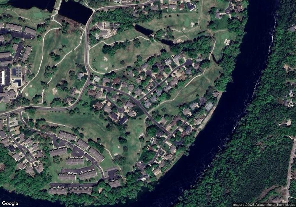
Map
Nearby Homes
- 133 Regent Dr
- 305 Wimbledon Dr Unit 2
- 305 Wimbledon Dr Unit 12
- 255 Wimbledon Dr Unit 6
- 255 Wimbledon Dr Unit 11
- 255 Wimbledon Dr Unit 8
- 255 Wimbledon Dr Unit 3
- 1977 Pointe Royale Dr
- 280 Wimbledon Dr Unit 5
- 318 Wimbledon Dr Unit 11
- 318 Wimbledon Dr Unit 12
- 344 Wimbledon Dr Unit 7
- 158 Troon Dr Unit 23
- 158 Troon Dr Unit 20
- 158 Troon Dr Unit 19
- 158 Troon Dr Unit 12
- 158 Troon Dr Unit 24
- 158 Troon Dr Unit 19 & 20
- 116 Lake Club Dr Unit 4
- 116 Lake Club Dr Unit 10
- 132 Regent Dr
- 203 Spurlock Dr
- 150 Regent Dr
- 155 Welford Ln
- 151 Welford Ln
- 269 Spurlock Dr
- 129 Shetfield Ln
- 168 Regent Dr
- 161 Regent Dr
- 169 Spurlock Dr
- 154 Welford Ln
- 181 Norwood Dr
- 223 Norwood Dr
- 119 Welford Ln
- Tbd Welford Ln
- 144 Welford Ln
- 133 Shetfield Ln
- 165 Norwood Dr
- 134 Shetfield Ln
- 243 Norwood Dr
Your Personal Tour Guide
Ask me questions while you tour the home.