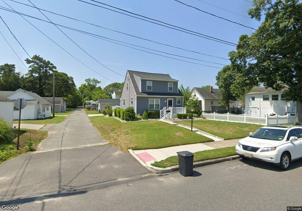
118 Rhode Island Ave Somers Point, NJ 08244
Estimated Value: $388,000 - $521,000
3
Beds
2
Baths
1,050
Sq Ft
$418/Sq Ft
Est. Value
About This Home
This home is located at 118 Rhode Island Ave, Somers Point, NJ 08244 and is currently estimated at $439,389, approximately $418 per square foot. 118 Rhode Island Ave is a home located in Atlantic County with nearby schools including Mainland Regional High School, ChARTer TECH High School for the Performing Arts, and Saint Joseph Regional School.
Ownership History
Date
Name
Owned For
Owner Type
Purchase Details
Closed on
May 31, 2024
Sold by
Corsons Inlet Properties Llc
Bought by
Shenk Donald R
Current Estimated Value
Purchase Details
Closed on
Nov 6, 2017
Sold by
Rappaport David
Bought by
Carson Inlet Properties Llc
Purchase Details
Closed on
May 16, 2017
Sold by
Tomlinson Earl L and Tomlinson Brigid A
Bought by
Springleaf Financial Services Inc
Purchase Details
Closed on
Aug 28, 1991
Sold by
Toussaint Marc R
Bought by
Tomlinson Earl L and Tomlinson Brigid A
Create a Home Valuation Report for This Property
The Home Valuation Report is an in-depth analysis detailing your home's value as well as a comparison with similar homes in the area
Home Values in the Area
Average Home Value in this Area
Purchase History
| Date | Buyer | Sale Price | Title Company |
|---|---|---|---|
| Shenk Donald R | $449,500 | Surety Title | |
| Carson Inlet Properties Llc | $71,000 | Shore Title Agency Inc | |
| Springleaf Financial Services Inc | -- | None Available | |
| Tomlinson Earl L | $67,400 | -- |
Source: Public Records
Tax History Compared to Growth
Tax History
| Year | Tax Paid | Tax Assessment Tax Assessment Total Assessment is a certain percentage of the fair market value that is determined by local assessors to be the total taxable value of land and additions on the property. | Land | Improvement |
|---|---|---|---|---|
| 2025 | $5,024 | $197,600 | $55,000 | $142,600 |
| 2024 | $5,024 | $140,500 | $55,000 | $85,500 |
| 2023 | $4,694 | $140,500 | $55,000 | $85,500 |
| 2022 | $4,694 | $140,500 | $55,000 | $85,500 |
| 2021 | $4,624 | $140,500 | $55,000 | $85,500 |
| 2020 | $4,530 | $140,500 | $55,000 | $85,500 |
| 2019 | $4,402 | $140,500 | $55,000 | $85,500 |
| 2018 | $4,309 | $140,500 | $55,000 | $85,500 |
| 2017 | $4,155 | $140,500 | $55,000 | $85,500 |
| 2016 | $3,966 | $140,500 | $55,000 | $85,500 |
| 2015 | $3,926 | $140,500 | $55,000 | $85,500 |
| 2014 | $3,794 | $140,500 | $55,000 | $85,500 |
Source: Public Records
Map
Nearby Homes
- 303 Garden Terrace
- 215 Fox Terrace
- 322 W Connecticut Ave Unit A
- 653 4th St
- 123 Pennsylvania Ave
- 740 3rd St
- 742 3rd St
- 42 E New York Ave
- 28 E New York Ave
- 746 4th St
- 1020 Pleasant Ave
- 1013 Pleasant Ave
- 1014 Pleasant Ave
- 1024 Pleasant Ave
- 1015 Pleasant Ave
- 421 Shore Rd
- 415 W New Jersey Ave
- 1002 Pleasant Ave
- 804 2nd St
- 308 Harbour Cove Unit 308