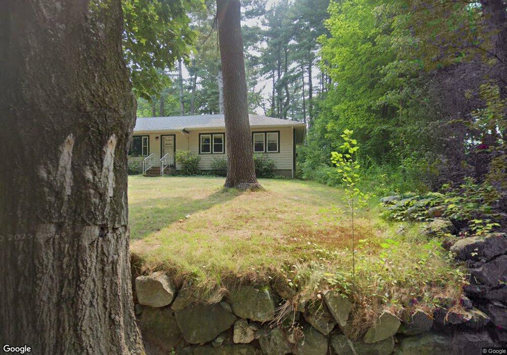
118 Ridge St Millis, MA 02054
Estimated Value: $868,758 - $1,072,000
4
Beds
3
Baths
2,939
Sq Ft
$333/Sq Ft
Est. Value
About This Home
This home is located at 118 Ridge St, Millis, MA 02054 and is currently estimated at $978,440, approximately $332 per square foot. 118 Ridge St is a home located in Norfolk County with nearby schools including Clyde F Brown, Millis Middle School, and Millis High School.
Ownership History
Date
Name
Owned For
Owner Type
Purchase Details
Closed on
Jun 29, 2023
Sold by
Hourihan Noel K and Mccarthy Ellen P
Bought by
Noel K Hourihan Ret and Hourihan
Current Estimated Value
Purchase Details
Closed on
Apr 22, 2003
Sold by
Hargrave Richard and Hargrave Nicola P
Bought by
Horihan Noel K and Mccarthy Ellen
Home Financials for this Owner
Home Financials are based on the most recent Mortgage that was taken out on this home.
Original Mortgage
$305,000
Interest Rate
5.75%
Mortgage Type
Purchase Money Mortgage
Purchase Details
Closed on
Feb 3, 2000
Sold by
Roches Bldg Co Inc
Bought by
Hargrave Richard and Hargrave Nicola P
Home Financials for this Owner
Home Financials are based on the most recent Mortgage that was taken out on this home.
Original Mortgage
$336,000
Interest Rate
7.91%
Mortgage Type
Purchase Money Mortgage
Create a Home Valuation Report for This Property
The Home Valuation Report is an in-depth analysis detailing your home's value as well as a comparison with similar homes in the area
Home Values in the Area
Average Home Value in this Area
Purchase History
| Date | Buyer | Sale Price | Title Company |
|---|---|---|---|
| Noel K Hourihan Ret | -- | None Available | |
| Horihan Noel K | $530,000 | -- | |
| Hargrave Richard | $420,000 | -- |
Source: Public Records
Mortgage History
| Date | Status | Borrower | Loan Amount |
|---|---|---|---|
| Previous Owner | Horihan Noel K | $305,000 | |
| Previous Owner | Hargrave Richard | $336,000 |
Source: Public Records
Tax History
| Year | Tax Paid | Tax Assessment Tax Assessment Total Assessment is a certain percentage of the fair market value that is determined by local assessors to be the total taxable value of land and additions on the property. | Land | Improvement |
|---|---|---|---|---|
| 2025 | $12,472 | $760,500 | $218,900 | $541,600 |
| 2024 | $12,082 | $735,800 | $218,900 | $516,900 |
| 2023 | $12,205 | $697,800 | $190,400 | $507,400 |
| 2022 | $11,575 | $613,100 | $173,600 | $439,500 |
| 2021 | $11,721 | $597,400 | $173,600 | $423,800 |
| 2020 | $11,504 | $571,200 | $162,200 | $409,000 |
| 2019 | $10,476 | $560,200 | $153,000 | $407,200 |
| 2018 | $9,852 | $546,700 | $139,500 | $407,200 |
| 2017 | $9,578 | $520,000 | $156,700 | $363,300 |
| 2016 | $9,069 | $520,000 | $156,700 | $363,300 |
| 2015 | $8,840 | $520,000 | $156,700 | $363,300 |
Source: Public Records
Map
Nearby Homes
- 28 Key St Unit 28
- 6 Rosenfeld Rd
- 22 May Rd
- 6 April Way
- 10 April Way
- 324 Union St Unit 1
- 4 Brookview Rd
- 6 Rivendell Ln
- 50 Walnut St
- 11 Parnell St
- 6 Beech St
- 119 Middlesex St
- 20 Hemlock Cir
- 216 Plain St
- 25 Bayberry Cir Unit 25
- 2 Towne Lyne Rd
- 6 Glen Ellen Blvd Unit 6
- 33 Spencer St
- 14 Teresa Dr
- 13 Teresa Dr
- 235 Causeway St
- 104 Ridge St
- 108 Ridge St
- 110 Ridge St
- 233 Causeway St
- 4 Rolling Meadow Dr
- 98 Ridge St
- 6 Rolling Meadow Dr
- 116 Ridge St
- 2 Rolling Meadow Dr
- 231 Causeway St
- 8 Rolling Meadow Dr
- 96 Ridge St
- 449 Union St
- 10 Rolling Meadow Dr
- 94 Ridge St
- 95 Ridge St
- 3 Rolling Meadow Dr
- 5 Rolling Meadow Dr
- 445 Union St
Your Personal Tour Guide
Ask me questions while you tour the home.