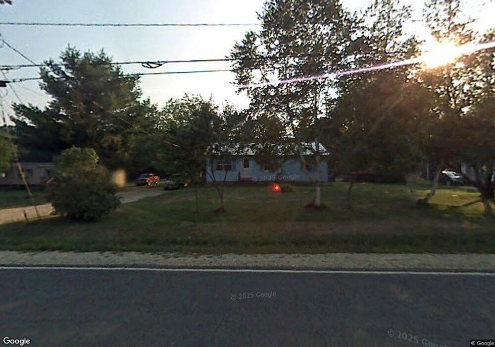
118 Route 232 Rumford, ME 04276
Estimated Value: $134,000 - $215,000
--
Bed
--
Bath
960
Sq Ft
$173/Sq Ft
Est. Value
About This Home
This home is located at 118 Route 232, Rumford, ME 04276 and is currently estimated at $165,797, approximately $172 per square foot. 118 Route 232 is a home with nearby schools including Rumford Elementary School, Meroby Elementary School, and Mountain Valley Middle School.
Create a Home Valuation Report for This Property
The Home Valuation Report is an in-depth analysis detailing your home's value as well as a comparison with similar homes in the area
Home Values in the Area
Average Home Value in this Area
Tax History Compared to Growth
Tax History
| Year | Tax Paid | Tax Assessment Tax Assessment Total Assessment is a certain percentage of the fair market value that is determined by local assessors to be the total taxable value of land and additions on the property. | Land | Improvement |
|---|---|---|---|---|
| 2024 | $1,484 | $89,300 | $20,500 | $68,800 |
| 2023 | $1,415 | $63,800 | $14,600 | $49,200 |
| 2022 | $1,415 | $63,800 | $14,600 | $49,200 |
| 2021 | $1,432 | $63,800 | $14,600 | $49,200 |
| 2020 | $1,442 | $63,800 | $14,600 | $49,200 |
| 2019 | $1,461 | $47,890 | $9,500 | $38,390 |
| 2018 | $877 | $47,890 | $9,500 | $38,390 |
| 2017 | $1,382 | $47,890 | $9,500 | $38,390 |
| 2016 | $1,341 | $47,890 | $9,500 | $38,390 |
| 2015 | $1,315 | $47,890 | $9,500 | $38,390 |
| 2014 | $1,291 | $47,890 | $9,500 | $38,390 |
Source: Public Records
Map
Nearby Homes
- 2165 Main St
- 2139 Intervale Rd
- 39 Katie View Rd
- TBD Tara's Way
- Lot 15-021 Taras Way
- Lot15-22B1 Taras Way
- Map 240 Lot 1 Map 239 Lot 4
- 49 Balsam Rd
- 42A Stearns Hill Rd
- 46 English Woods Rd
- 159 Martin Rd
- 17 Countryside Ln
- 9 Countryside Ln
- 15 Off Howard Pond Small Rd
- 1019 U S Highway 2
- 1359 Route 2
- 17 Blackberry Ln
- 390 Howard Pond Rd
- 1318 U S 2
- L15 & 18 Off Howard Pond & Small Rd