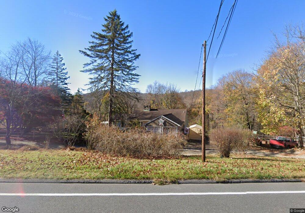
118 Route 39 S Sherman, CT 06784
Estimated Value: $500,111 - $532,000
3
Beds
3
Baths
1,260
Sq Ft
$408/Sq Ft
Est. Value
About This Home
This home is located at 118 Route 39 S, Sherman, CT 06784 and is currently estimated at $514,528, approximately $408 per square foot. 118 Route 39 S is a home located in Fairfield County with nearby schools including Sherman School.
Ownership History
Date
Name
Owned For
Owner Type
Purchase Details
Closed on
Jan 6, 2004
Sold by
Woodage Nanette C
Bought by
English Nicole C Woodag and English David A
Current Estimated Value
Home Financials for this Owner
Home Financials are based on the most recent Mortgage that was taken out on this home.
Original Mortgage
$215,000
Interest Rate
5.86%
Create a Home Valuation Report for This Property
The Home Valuation Report is an in-depth analysis detailing your home's value as well as a comparison with similar homes in the area
Home Values in the Area
Average Home Value in this Area
Purchase History
| Date | Buyer | Sale Price | Title Company |
|---|---|---|---|
| English Nicole C Woodag | $268,750 | -- |
Source: Public Records
Mortgage History
| Date | Status | Borrower | Loan Amount |
|---|---|---|---|
| Open | English Nicole C Woodag | $220,000 | |
| Closed | English Nicole C Woodag | $215,000 |
Source: Public Records
Tax History Compared to Growth
Tax History
| Year | Tax Paid | Tax Assessment Tax Assessment Total Assessment is a certain percentage of the fair market value that is determined by local assessors to be the total taxable value of land and additions on the property. | Land | Improvement |
|---|---|---|---|---|
| 2025 | $3,372 | $202,300 | $66,300 | $136,000 |
| 2024 | $3,310 | $202,300 | $66,300 | $136,000 |
| 2023 | $3,605 | $202,300 | $66,300 | $136,000 |
| 2022 | $3,678 | $202,300 | $66,300 | $136,000 |
| 2021 | $4,924 | $202,300 | $66,300 | $136,000 |
| 2020 | $3,866 | $202,300 | $66,300 | $136,000 |
| 2019 | $4,008 | $202,300 | $66,300 | $136,000 |
| 2018 | $3,844 | $189,100 | $70,000 | $119,100 |
| 2017 | $3,844 | $189,100 | $70,000 | $119,100 |
| 2016 | $3,845 | $189,140 | $70,000 | $119,140 |
| 2015 | $3,790 | $189,140 | $70,000 | $119,140 |
| 2014 | $3,753 | $189,140 | $70,000 | $119,140 |
Source: Public Records
Map
Nearby Homes
- 0 Rte 39 South State Route
- 0 Wagon Wheel Rd Unit 24065102
- 5 Stone Wall Ln
- 5 Sail Harbour Dr
- 7 Glenview Dr
- 2 Pleasant View Rd
- 7 Candle Hill Rd
- 54 Lavelle Ave
- 8 Candleview Dr
- 14 Cherry Dr
- 15 Misty Brook Ln
- 15 Flak Ln
- 4 Harbour View Dr
- 32 Sail Harbour Dr
- 35 Candle Hill Rd
- 4 Deer Run Trail
- 35 Skyline Dr
- 8 Ledgewood Dr
- 256 State Route 39
- 86 Connecticut 37
- 120 Route 39 S
- 5-7 Deer Hill Rd
- 93 Route 39 S
- 97 Route 39 S
- 2 North Cove
- 4 North Cove
- 101 Route 39 S
- 8 North Cove
- 105 Route 39 S
- 107 Connecticut 39
- 107 Route 39 S
- 91 Route 39 S
- 4 Deer Hill Rd
- 6 Deer Hill Rd
- 6 North Cove
- 113 Route 39 S
- 8 Deer Hill Rd
- 10 Deer Hill Rd
- 14 Sherwood Hill Rd
- 17 Sherwood Hill Rd