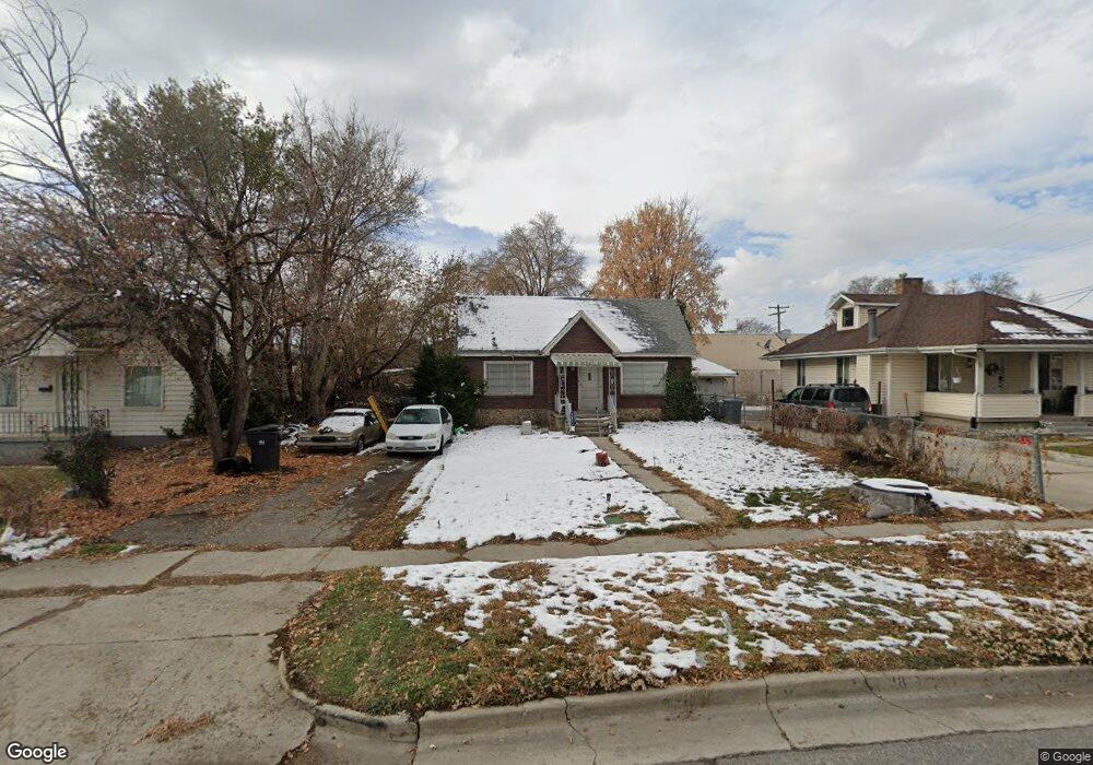
118 S 300 E American Fork, UT 84003
Estimated Value: $421,000 - $451,150
4
Beds
1
Bath
1,672
Sq Ft
$265/Sq Ft
Est. Value
About This Home
This home is located at 118 S 300 E, American Fork, UT 84003 and is currently estimated at $443,288, approximately $265 per square foot. 118 S 300 E is a home located in Utah County with nearby schools including Greenwood Elementary School, American Fork Junior High School, and American Fork High School.
Ownership History
Date
Name
Owned For
Owner Type
Purchase Details
Closed on
Jun 8, 2007
Sold by
Pratt Marilyn
Bought by
Pratt Marilyn and Pratt David E
Current Estimated Value
Purchase Details
Closed on
Jan 16, 2007
Sold by
Mccarthy Alleah
Bought by
Pratt Marilyn
Purchase Details
Closed on
Dec 15, 2006
Sold by
Dajany Kahlil
Bought by
Pratt Marilyn
Purchase Details
Closed on
Dec 7, 2006
Sold by
Dajany Omar and Mccarthy Alleah
Bought by
Pratt Marilyn
Purchase Details
Closed on
Dec 5, 2006
Sold by
Dajany Miriam and Dajany Jomanna
Bought by
Pratt Marilyn
Purchase Details
Closed on
Nov 30, 2006
Sold by
Dajany Innam
Bought by
Pratt Marilyn
Purchase Details
Closed on
Nov 20, 2006
Sold by
Pratt Marilyn and Adamson Myrna A
Bought by
Pratt Marilyn
Create a Home Valuation Report for This Property
The Home Valuation Report is an in-depth analysis detailing your home's value as well as a comparison with similar homes in the area
Home Values in the Area
Average Home Value in this Area
Purchase History
We collect this data history from publicly available records. To have your information removed, we recommend requesting removal directly through your county’s website.
| Date | Buyer | Sale Price | Title Company |
|---|---|---|---|
| Pratt Marilyn | -- | Accommodation | |
| Pratt Marilyn | -- | Equity Title Insurance Agen | |
| Pratt Marilyn | -- | Equity Title Insurance Agen | |
| Pratt Marilyn | -- | Equity Title Insurance Agen | |
| Pratt Marilyn | -- | Equity Title Insurance Agen | |
| Pratt Marilyn | -- | Equity Title Insurance Agen | |
| Pratt Marilyn | -- | Equity Title Insurance Agen |
Source: Public Records
Tax History
| Year | Tax Paid | Tax Assessment Tax Assessment Total Assessment is a certain percentage of the fair market value that is determined by local assessors to be the total taxable value of land and additions on the property. | Land | Improvement |
|---|---|---|---|---|
| 2025 | $1,827 | $214,885 | -- | -- |
| 2024 | $1,827 | $203,005 | $0 | $0 |
| 2023 | $1,721 | $202,675 | $0 | $0 |
| 2022 | $1,925 | $223,795 | $0 | $0 |
| 2021 | $1,644 | $298,600 | $139,000 | $159,600 |
| 2020 | $1,536 | $270,500 | $124,100 | $146,400 |
| 2019 | $1,388 | $252,800 | $106,400 | $146,400 |
| 2018 | $1,281 | $223,100 | $95,800 | $127,300 |
| 2017 | $1,243 | $116,820 | $0 | $0 |
| 2016 | $1,159 | $101,200 | $0 | $0 |
| 2015 | $1,120 | $92,840 | $0 | $0 |
| 2014 | $1,095 | $89,485 | $0 | $0 |
Source: Public Records
Map
Nearby Homes
Your Personal Tour Guide
Ask me questions while you tour the home.