118 Sabbady Point Rd Windham, ME 04062
Estimated Value: $1,080,000 - $1,692,000
4
Beds
4
Baths
3,387
Sq Ft
$424/Sq Ft
Est. Value
About This Home
This home is located at 118 Sabbady Point Rd, Windham, ME 04062 and is currently estimated at $1,434,496, approximately $423 per square foot. 118 Sabbady Point Rd is a home located in Cumberland County with nearby schools including Manchester School, Windham Primary School, and Windham Middle School.
Ownership History
Date
Name
Owned For
Owner Type
Purchase Details
Closed on
Oct 28, 2019
Sold by
118 Sabbady Point Rt
Bought by
Obrien Keith M and Lizer Eva L
Current Estimated Value
Home Financials for this Owner
Home Financials are based on the most recent Mortgage that was taken out on this home.
Original Mortgage
$620,000
Outstanding Balance
$538,331
Interest Rate
3.5%
Mortgage Type
Purchase Money Mortgage
Estimated Equity
$896,165
Purchase Details
Closed on
Mar 20, 2006
Sold by
Garon Gerald S and Garon Susan
Bought by
118 Sabbady Point Rd Rt
Create a Home Valuation Report for This Property
The Home Valuation Report is an in-depth analysis detailing your home's value as well as a comparison with similar homes in the area
Home Values in the Area
Average Home Value in this Area
Purchase History
| Date | Buyer | Sale Price | Title Company |
|---|---|---|---|
| Obrien Keith M | -- | -- | |
| 118 Sabbady Point Rd Rt | -- | -- |
Source: Public Records
Mortgage History
| Date | Status | Borrower | Loan Amount |
|---|---|---|---|
| Open | Obrien Keith M | $620,000 |
Source: Public Records
Tax History
| Year | Tax Paid | Tax Assessment Tax Assessment Total Assessment is a certain percentage of the fair market value that is determined by local assessors to be the total taxable value of land and additions on the property. | Land | Improvement |
|---|---|---|---|---|
| 2024 | $13,997 | $1,220,300 | $772,800 | $447,500 |
| 2023 | $12,833 | $1,145,800 | $717,600 | $428,200 |
| 2022 | $11,155 | $960,800 | $584,300 | $376,500 |
| 2021 | $9,211 | $731,000 | $410,500 | $320,500 |
| 2020 | $9,980 | $665,300 | $387,000 | $278,300 |
| 2019 | $9,740 | $665,300 | $387,000 | $278,300 |
| 2018 | $9,512 | $626,600 | $368,800 | $257,800 |
| 2017 | $9,324 | $567,500 | $322,100 | $245,400 |
| 2016 | $8,910 | $567,500 | $322,100 | $245,400 |
| 2015 | $8,598 | $567,500 | $322,100 | $245,400 |
| 2014 | $8,325 | $567,500 | $322,100 | $245,400 |
| 2013 | -- | $567,500 | $322,100 | $245,400 |
Source: Public Records
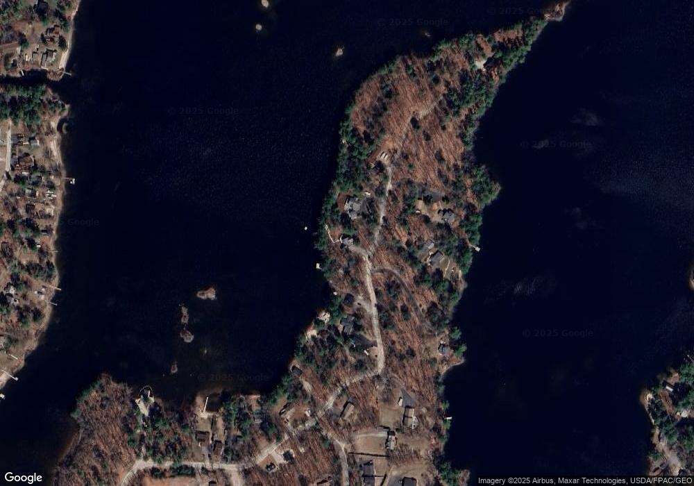
Map
Nearby Homes
- 14 Sabbady Point Rd
- 14 Emerson Dr
- 34 Many Oaks Ln
- 1 Matinicus Way Unit 1
- 5 Sandbar Rd
- 10 Abby Rd
- 7 Baxter Woods Trail
- 34 Robin Ln
- 2 Aerie Dr
- 34 Trails End Rd
- Lot #1 Chamberlain Dr
- 0 Turning Leaf Dr Unit 1640377
- 99 Enterprise Dr
- lot #8 Bedrock Terrace
- 30 Motorcycle Dr
- 103 Basin Rd
- 11 Clover Ln
- 55 Page Rd
- 15 Worcester Dr
- 1042 Roosevelt Trail
- 116 Sabbady Point Rd
- 122 Sabbady Point Rd
- 109 Sabbady Point Rd
- 126 Sabbady Point Rd
- 114 Sabbady Point Rd
- 112 Sabbady Point Rd
- 121 Sabbady Point Rd
- 128 Sabbady Point Rd
- 108 Sabbady Point Rd
- 125 Sabbady Point Rd
- 127 Sabbady Point Rd
- 102 Sabbady Point Rd
- 117 Sabbady Point Rd
- 6 Outlet Cove Rd
- 7 Passby Point
- 101 Sabbady Point Rd
- 100 Sabbady Point Rd
- 96 Sabbady Point Rd
- 130 Sabbady Point Rd
- 10 Outlet Cove Rd
Your Personal Tour Guide
Ask me questions while you tour the home.