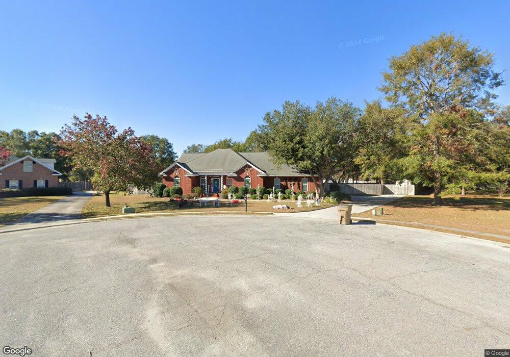
118 Saint Matthews Rd Guyton, GA 31312
Estimated Value: $480,000 - $519,000
--
Bed
1
Bath
2,853
Sq Ft
$173/Sq Ft
Est. Value
About This Home
This home is located at 118 Saint Matthews Rd, Guyton, GA 31312 and is currently estimated at $494,167, approximately $173 per square foot. 118 Saint Matthews Rd is a home located in Effingham County with nearby schools including Marlow Elementary School, South Effingham Middle School, and South Effingham High School.
Ownership History
Date
Name
Owned For
Owner Type
Purchase Details
Closed on
Jul 23, 2023
Sold by
Cheney Brenda P
Bought by
Cheney Jeffery Andrew Tr and Cheney Brenda Poole Tr
Current Estimated Value
Purchase Details
Closed on
Dec 13, 2004
Bought by
Cheney Brenda P
Home Financials for this Owner
Home Financials are based on the most recent Mortgage that was taken out on this home.
Original Mortgage
$231,640
Interest Rate
5.67%
Mortgage Type
New Conventional
Create a Home Valuation Report for This Property
The Home Valuation Report is an in-depth analysis detailing your home's value as well as a comparison with similar homes in the area
Home Values in the Area
Average Home Value in this Area
Purchase History
| Date | Buyer | Sale Price | Title Company |
|---|---|---|---|
| Cheney Jeffery Andrew Tr | -- | -- | |
| Cheney Brenda P | $289,600 | -- |
Source: Public Records
Mortgage History
| Date | Status | Borrower | Loan Amount |
|---|---|---|---|
| Previous Owner | Cheney Brenda P | $231,640 |
Source: Public Records
Tax History Compared to Growth
Tax History
| Year | Tax Paid | Tax Assessment Tax Assessment Total Assessment is a certain percentage of the fair market value that is determined by local assessors to be the total taxable value of land and additions on the property. | Land | Improvement |
|---|---|---|---|---|
| 2024 | $4,962 | $176,384 | $30,000 | $146,384 |
| 2023 | $3,817 | $172,183 | $20,800 | $151,383 |
| 2022 | $4,385 | $146,791 | $18,800 | $127,991 |
| 2021 | $4,009 | $129,747 | $16,000 | $113,747 |
| 2020 | $3,657 | $118,561 | $16,000 | $102,561 |
| 2019 | $3,680 | $118,561 | $16,000 | $102,561 |
| 2018 | $3,644 | $115,456 | $16,000 | $99,456 |
| 2017 | $3,742 | $117,456 | $18,000 | $99,456 |
| 2016 | $3,521 | $115,695 | $18,000 | $97,695 |
| 2015 | -- | $115,695 | $18,000 | $97,695 |
| 2014 | -- | $113,895 | $16,200 | $97,695 |
| 2013 | -- | $101,654 | $3,960 | $97,694 |
Source: Public Records
Map
Nearby Homes
- 111 St Matthews
- 206 Saint Pauls Rd
- 213 Saint Pauls Rd
- 1208 Nease Rd
- 122 S Effingham Plantation Dr
- 110 S Effingham Plantation Dr
- 103 Corral Ct
- 155 S Effingham Plantation Dr
- 161 S Effingham Plantation Dr
- 157 Old Lake Rd
- 199 Old Oak Rd
- 1243 Noel C Conaway Rd
- 129 Buckeye Rd
- 157 Buckeye Rd
- 155 Buckeye Rd
- GALEN Plan at Laurel Grove
- Elle Plan at Laurel Grove
- ROBIE Plan at Laurel Grove
- Cali Plan at Laurel Grove
- Hayden Plan at Laurel Grove
- 116 Saint Matthews Rd
- 117 Saint Matthews Rd
- 112 Brittany Ln
- 115 Saint Matthews Rd
- 110 Brittany Ln
- 113 Saint Matthews Rd
- 114 Brittany Ln
- 108 Brittany Ln
- 205 Saint Pauls Rd
- 106 Brittany Ln
- 114 Saint Matthews Rd
- 111 Saint Matthews Rd
- 104 Brittany Ln
- 100 Brittany Ln
- 116 Brittany Ln
- 102 Brittany Ln
- 207 Saint Pauls Rd
- 362 Hester Rd
- 118 Brittany Ln
- 378 Hester Rd