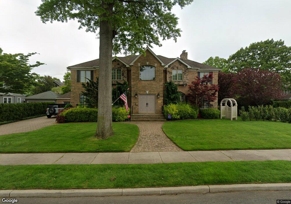
118 Salisbury Ave Garden City, NY 11530
Estimated Value: $2,106,152 - $2,331,000
4
Beds
6
Baths
3,086
Sq Ft
$719/Sq Ft
Est. Value
About This Home
This home is located at 118 Salisbury Ave, Garden City, NY 11530 and is currently estimated at $2,218,576, approximately $718 per square foot. 118 Salisbury Ave is a home located in Nassau County with nearby schools including Stratford Avenue School, Hemlock School, and Garden City Middle School.
Ownership History
Date
Name
Owned For
Owner Type
Purchase Details
Closed on
Jun 24, 2015
Sold by
Muncan Joe and Muncan Mary
Bought by
Neill John O and Neill Maria Anna O
Current Estimated Value
Home Financials for this Owner
Home Financials are based on the most recent Mortgage that was taken out on this home.
Original Mortgage
$400,000
Outstanding Balance
$146,781
Interest Rate
3.03%
Mortgage Type
New Conventional
Estimated Equity
$2,071,795
Purchase Details
Closed on
Nov 14, 2002
Sold by
Lopresti Christopher
Bought by
Muncan Jon
Create a Home Valuation Report for This Property
The Home Valuation Report is an in-depth analysis detailing your home's value as well as a comparison with similar homes in the area
Home Values in the Area
Average Home Value in this Area
Purchase History
| Date | Buyer | Sale Price | Title Company |
|---|---|---|---|
| Neill John O | $1,399,000 | First American | |
| Muncan Jon | $890,000 | -- |
Source: Public Records
Mortgage History
| Date | Status | Borrower | Loan Amount |
|---|---|---|---|
| Open | Neill John O | $400,000 |
Source: Public Records
Tax History Compared to Growth
Tax History
| Year | Tax Paid | Tax Assessment Tax Assessment Total Assessment is a certain percentage of the fair market value that is determined by local assessors to be the total taxable value of land and additions on the property. | Land | Improvement |
|---|---|---|---|---|
| 2025 | $21,105 | $1,313 | $394 | $919 |
| 2024 | $2,759 | $1,312 | $393 | $919 |
| 2023 | $20,014 | $1,450 | $470 | $980 |
| 2022 | $20,014 | $1,368 | $410 | $958 |
| 2021 | $24,409 | $1,450 | $434 | $1,016 |
| 2020 | $18,162 | $1,720 | $1,133 | $587 |
| 2019 | $17,072 | $1,989 | $1,265 | $724 |
| 2018 | $18,514 | $2,208 | $0 | $0 |
| 2017 | $15,097 | $2,208 | $1,404 | $804 |
| 2016 | $18,411 | $2,208 | $1,177 | $1,031 |
| 2015 | $3,190 | $2,208 | $1,177 | $1,031 |
| 2014 | $3,190 | $2,208 | $1,177 | $1,031 |
| 2013 | $3,594 | $2,633 | $1,404 | $1,229 |
Source: Public Records
Map
Nearby Homes
- 29 Brixton Rd
- 85 Kilburn Rd
- 84 Nassau Blvd
- 236 Stewart Ave
- 379 Roxbury Rd S
- 304 Kilburn Rd S
- 125 Stratford Ave
- 306 Cambridge Ave
- 234 Nassau Blvd
- 233 Roxbury Rd S
- 159 Brixton Rd
- 217 Wellington Rd S
- 192 Brixton Rd S
- 790 Floral Park Rd
- 644 7th St S
- 173 Brixton Rd
- 108 Tanners Pond Rd
- 124 Kilburn Rd S
- 5 Wilson St
- 23 Saint Pauls Place