118 Sandy Creek Trail Weatherford, TX 76085
Estimated Value: $674,090 - $772,000
3
Beds
3
Baths
3,149
Sq Ft
$232/Sq Ft
Est. Value
About This Home
This home is located at 118 Sandy Creek Trail, Weatherford, TX 76085 and is currently estimated at $731,273, approximately $232 per square foot. 118 Sandy Creek Trail is a home located in Parker County with nearby schools including Crockett Elementary School, Tison Middle School, and Weatherford High School.
Ownership History
Date
Name
Owned For
Owner Type
Purchase Details
Closed on
Mar 13, 2012
Sold by
Kennedy Ashley R
Bought by
Anderson James Douglas
Current Estimated Value
Purchase Details
Closed on
Mar 6, 2012
Sold by
Kennedy Kyle C
Bought by
Kennedy Ashley R
Purchase Details
Closed on
Dec 27, 2005
Sold by
Weatherford Sandy Creek Ranch Lp
Bought by
Anderson James D
Create a Home Valuation Report for This Property
The Home Valuation Report is an in-depth analysis detailing your home's value as well as a comparison with similar homes in the area
Home Values in the Area
Average Home Value in this Area
Purchase History
| Date | Buyer | Sale Price | Title Company |
|---|---|---|---|
| Anderson James Douglas | -- | None Available | |
| Kennedy Ashley R | -- | None Available | |
| Anderson James D | -- | -- |
Source: Public Records
Tax History Compared to Growth
Tax History
| Year | Tax Paid | Tax Assessment Tax Assessment Total Assessment is a certain percentage of the fair market value that is determined by local assessors to be the total taxable value of land and additions on the property. | Land | Improvement |
|---|---|---|---|---|
| 2025 | $10,358 | $841,600 | $233,360 | $608,240 |
| 2024 | $10,358 | $635,820 | $197,900 | $437,920 |
| 2023 | $10,358 | $635,820 | $197,900 | $437,920 |
| 2022 | $10,262 | $551,190 | $150,070 | $401,120 |
| 2021 | $11,102 | $551,190 | $150,070 | $401,120 |
| 2020 | $9,285 | $457,760 | $119,900 | $337,860 |
| 2019 | $9,905 | $457,760 | $119,900 | $337,860 |
| 2018 | $8,826 | $405,770 | $85,090 | $320,680 |
| 2017 | $9,007 | $405,770 | $85,090 | $320,680 |
| 2016 | $8,102 | $365,010 | $85,090 | $279,920 |
| 2015 | $7,961 | $365,010 | $85,090 | $279,920 |
| 2014 | $7,160 | $336,970 | $85,090 | $251,880 |
Source: Public Records
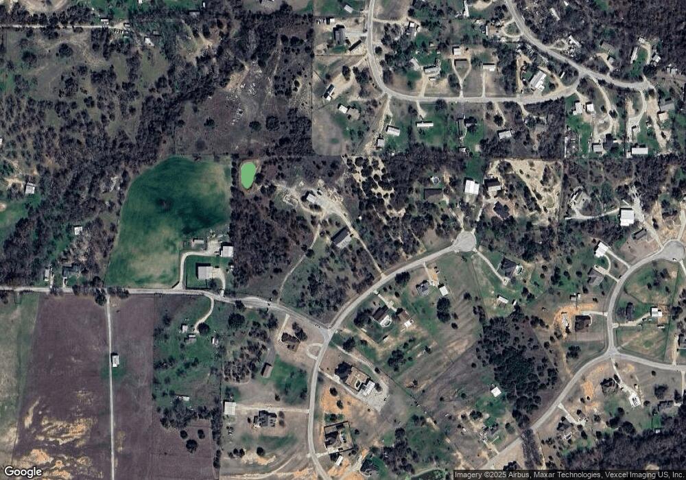
Map
Nearby Homes
- Lot 118 Stonebridge Dr
- Lot 117 Stonebridge Dr
- 368 Green Branch Rd
- 107 W Stagecoach Trail
- 104 W Stagecoach Trail
- 737 Green Branch Rd
- 901 Green Branch Rd
- 3930 Old Springtown Rd
- 401 Old Agnes Rd
- 161 Cochran Rd
- 280 Jupiter Trail
- 171 Jupiter Trail
- 309 Old Agnes Rd
- 300 Jupiter Trail
- 400 Texas Sage Trail
- 524 Lantana Dr
- Aster Plan at Eagle Ridge Estates
- Cedar Sage Plan at Eagle Ridge Estates
- 408 Texas Sage Trail
- 424 Texas Sage Trail
- 121 Sandy Creek Trail
- 106 Sandy Creek Trail
- 109 Sandy Creek Trail
- 490 Baggett Rd
- 3371 La Mesa Dr
- 3375 La Mesa Dr
- 3367 La Mesa Dr
- 491 Baggett Rd
- 129 Sandy Creek Trail
- 3379 La Mesa Dr
- 100 Sandy Creek Trail
- 3363 La Mesa Dr
- 103 Sandy Creek Trail
- 460 Baggett Rd
- 3378 La Mesa Dr
- 3359 La Mesa Dr
- 136 Sandy Creek Trail
- 3383 La Mesa Dr
- 135 Sandy Creek Trail
- 3384 La Mesa Dr