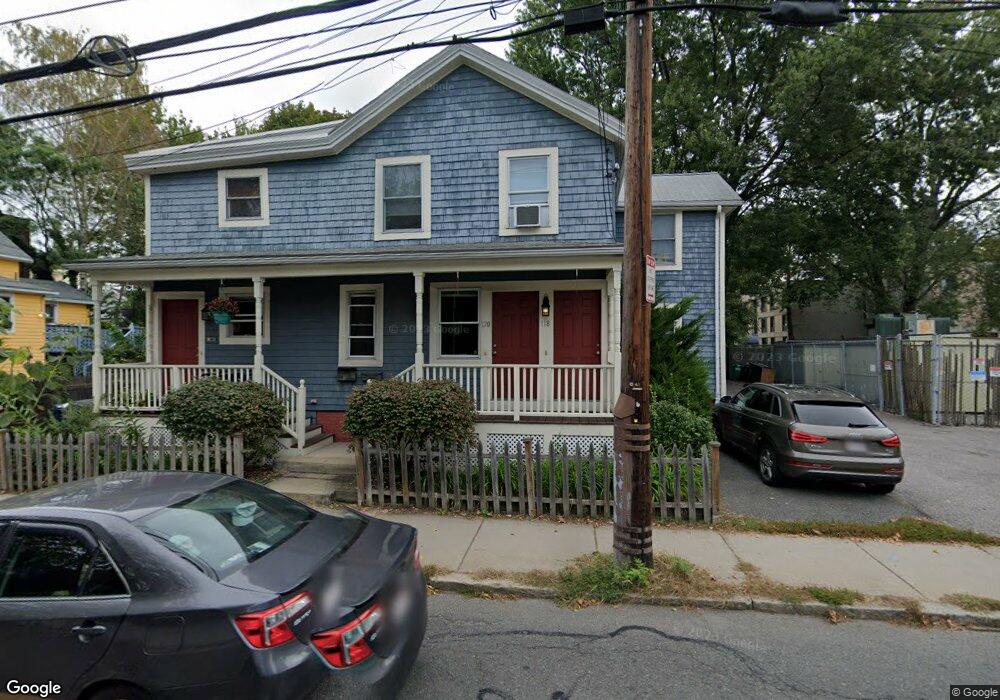
118 Sherman St Cambridge, MA 02140
Neighborhood Nine NeighborhoodEstimated Value: $764,000 - $840,000
2
Beds
1
Bath
955
Sq Ft
$841/Sq Ft
Est. Value
About This Home
This home is located at 118 Sherman St, Cambridge, MA 02140 and is currently estimated at $802,904, approximately $840 per square foot. 118 Sherman St is a home located in Middlesex County with nearby schools including Benjamin Banneker Charter Public School, Cambridge Friends School, and Cambridge Montessori School.
Ownership History
Date
Name
Owned For
Owner Type
Purchase Details
Closed on
Sep 9, 2022
Sold by
Gandal Puneet
Bought by
Gandal Ft
Current Estimated Value
Purchase Details
Closed on
Oct 31, 2003
Sold by
Wessel Jay H
Bought by
Gangal Puneet
Home Financials for this Owner
Home Financials are based on the most recent Mortgage that was taken out on this home.
Original Mortgage
$288,800
Interest Rate
6.05%
Mortgage Type
Purchase Money Mortgage
Create a Home Valuation Report for This Property
The Home Valuation Report is an in-depth analysis detailing your home's value as well as a comparison with similar homes in the area
Home Values in the Area
Average Home Value in this Area
Purchase History
| Date | Buyer | Sale Price | Title Company |
|---|---|---|---|
| Gandal Ft | -- | None Available | |
| Gangal Puneet | $361,000 | -- |
Source: Public Records
Mortgage History
| Date | Status | Borrower | Loan Amount |
|---|---|---|---|
| Previous Owner | Gangal Puneet | $288,800 |
Source: Public Records
Tax History Compared to Growth
Tax History
| Year | Tax Paid | Tax Assessment Tax Assessment Total Assessment is a certain percentage of the fair market value that is determined by local assessors to be the total taxable value of land and additions on the property. | Land | Improvement |
|---|---|---|---|---|
| 2025 | $4,667 | $734,900 | $0 | $734,900 |
| 2024 | $4,207 | $710,600 | $0 | $710,600 |
| 2023 | $4,049 | $691,000 | $0 | $691,000 |
| 2022 | $3,969 | $670,500 | $0 | $670,500 |
| 2021 | $3,764 | $643,500 | $0 | $643,500 |
| 2020 | $3,566 | $620,100 | $0 | $620,100 |
| 2019 | $3,420 | $575,700 | $0 | $575,700 |
| 2018 | $3,335 | $530,200 | $0 | $530,200 |
| 2017 | $3,208 | $494,300 | $0 | $494,300 |
| 2016 | $2,883 | $412,500 | $0 | $412,500 |
| 2015 | $2,860 | $365,700 | $0 | $365,700 |
| 2014 | $2,829 | $337,600 | $0 | $337,600 |
Source: Public Records
Map
Nearby Homes
- 61 Bolton St Unit 304
- 147 Sherman St Unit 201
- 273 Walden St Unit 2
- 318 Rindge Ave Unit 103
- 5 Field St
- 183 Rindge Ave Unit 1
- 179 Rindge Ave Unit 1
- 14-16 Field St
- 156 Fayerweather St Unit 156
- 32 Copley St Unit 2
- 241 Upland Rd Unit 2
- 18 Donnell St
- 24 Bay State Rd Unit 7
- 49 Clifton St
- 70 Walden St Unit 1
- 70 Walden St Unit 7
- 70 Walden St Unit 11
- 124 Jackson St
- 12 Rindge Ave Unit 1
- 22 Harrington Rd
- 116 Sherman St Unit 120
- 116 Sherman St
- 118 Sherman St Unit 118
- 116 Sherman St Unit 116
- 116 Sherman St Unit 116/1
- 124 Sherman St
- 124 Sherman St Unit 7
- 120 Sherman St
- 120 Sherman St Unit 120
- 122 Sherman St Unit 2
- 122 Sherman St Unit 1
- 108 Sherman St
- 120.5 Sherman St Unit 120.5
- 120.5 Sherman St Unit 120 1/2
- 9-e Bellis Cir Unit 5
- 9-e Bellis Cir Unit E
- 9-e Bellis Cir
- 3 Bellis Ct Unit 3
- 9 Bellis Cir Unit E
- 9 Bellis Cir Unit 5