118 Skye Rd Cochran, GA 31014
Estimated Value: $173,000 - $199,000
3
Beds
2
Baths
1,616
Sq Ft
$114/Sq Ft
Est. Value
About This Home
This home is located at 118 Skye Rd, Cochran, GA 31014 and is currently estimated at $184,490, approximately $114 per square foot. 118 Skye Rd is a home located in Bleckley County with nearby schools including Bleckley County Primary School, Bleckley County Elementary School, and Bleckley Middle School.
Ownership History
Date
Name
Owned For
Owner Type
Purchase Details
Closed on
Apr 17, 2015
Sold by
Mullis Ronnie L
Bought by
Arnold Mitchell L
Current Estimated Value
Home Financials for this Owner
Home Financials are based on the most recent Mortgage that was taken out on this home.
Original Mortgage
$30,875
Outstanding Balance
$23,744
Interest Rate
3.87%
Mortgage Type
New Conventional
Estimated Equity
$160,746
Purchase Details
Closed on
Jul 24, 1986
Bought by
Mullis Ronnie L and Mullis D
Create a Home Valuation Report for This Property
The Home Valuation Report is an in-depth analysis detailing your home's value as well as a comparison with similar homes in the area
Home Values in the Area
Average Home Value in this Area
Purchase History
| Date | Buyer | Sale Price | Title Company |
|---|---|---|---|
| Arnold Mitchell L | $32,500 | -- | |
| Mullis Ronnie L | -- | -- |
Source: Public Records
Mortgage History
| Date | Status | Borrower | Loan Amount |
|---|---|---|---|
| Open | Arnold Mitchell L | $30,875 |
Source: Public Records
Tax History
| Year | Tax Paid | Tax Assessment Tax Assessment Total Assessment is a certain percentage of the fair market value that is determined by local assessors to be the total taxable value of land and additions on the property. | Land | Improvement |
|---|---|---|---|---|
| 2025 | $1,306 | $50,948 | $3,240 | $47,708 |
| 2024 | $1,309 | $50,948 | $3,240 | $47,708 |
| 2023 | $1,358 | $50,948 | $3,240 | $47,708 |
| 2022 | $1,176 | $45,228 | $3,240 | $41,988 |
| 2021 | $994 | $34,148 | $2,600 | $31,548 |
| 2020 | $994 | $34,148 | $2,600 | $31,548 |
| 2019 | $848 | $29,073 | $2,432 | $26,641 |
| 2018 | $855 | $29,073 | $2,432 | $26,641 |
| 2017 | $854 | $29,073 | $2,432 | $26,641 |
| 2016 | $382 | $29,073 | $2,432 | $26,641 |
| 2015 | -- | $29,073 | $2,432 | $26,641 |
| 2014 | -- | $29,073 | $2,432 | $26,641 |
| 2013 | -- | $29,072 | $2,432 | $26,640 |
Source: Public Records
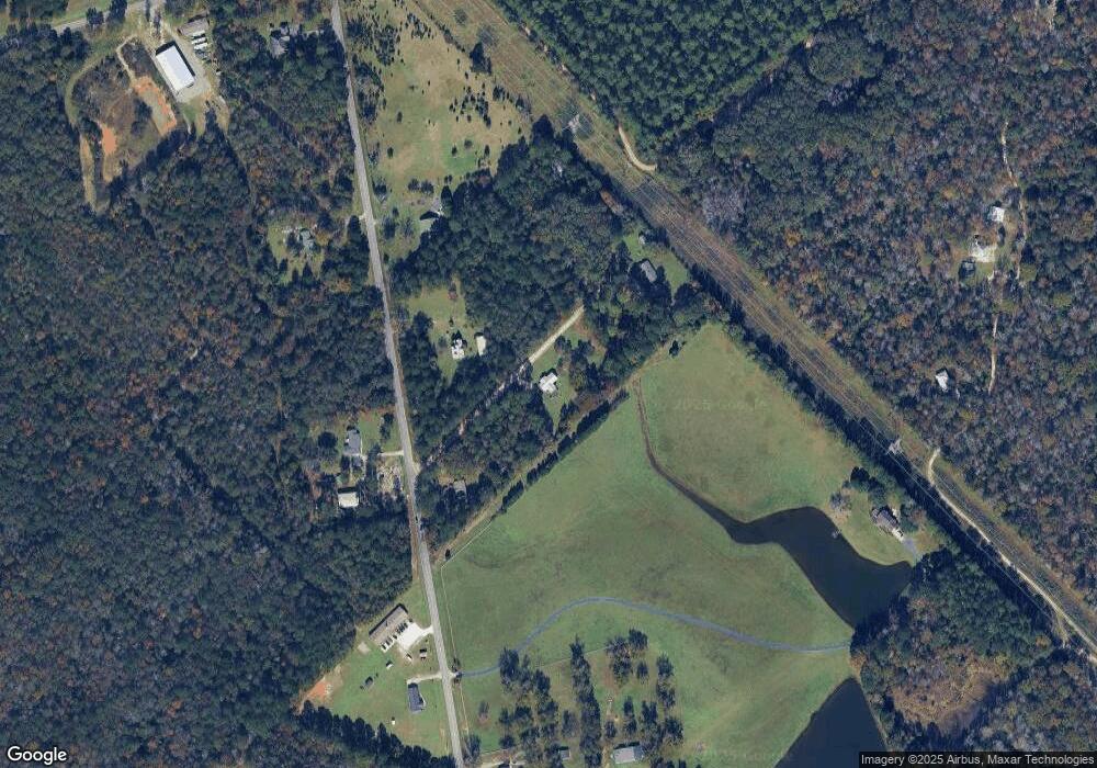
Map
Nearby Homes
- 0 Limestone Rd Unit 25839040
- 0 Limestone Rd Unit 10659326
- 111 Marie Dr
- 159 Jockey Ln
- 145 Edmondson Cir
- 151 Edmondson Cir
- 229 W Peter St
- 118 Edmondson Cir
- 140 Racetrack Dr
- RV Park Mac Thompson Rd
- Land Mac Thompson Rd
- 116 Pecan St
- 118 Pecan St
- 112 Pecan St
- 0 Mac Thompson Rd Unit 260249
- 0 Mac Thompson Rd Unit 16072590
- 0 Mac Thompson Rd Unit 261700
- 0 Willow Creek Run
- 134 Easy St
- 119 Moll Dr
- 134 Skye Rd
- 129 Skye Rd
- 337 Limestone Rd
- 325 Limestone Rd
- 348 Limestone Rd
- 324 Limestone Rd
- 375 Limestone Rd
- 387 Limestone Rd
- 285 Limestone Rd
- 300 Limestone Rd
- 401 Limestone Rd
- 100 Berry Hill Coody Rd
- 405 Limestone Rd
- 110 Berryhill Coody Rd
- 399 Limestone Rd
- 283 Limestone Rd
- 127 Henry Simpson Rd
- 417 Limestone Rd
- 422 Limestone Rd
- 425 Limestone Rd
Your Personal Tour Guide
Ask me questions while you tour the home.