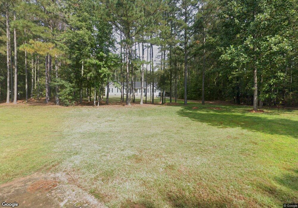
118 Southbend Dr Carrollton, GA 30116
Estimated Value: $568,000 - $613,869
3
Beds
2
Baths
2,514
Sq Ft
$234/Sq Ft
Est. Value
About This Home
This home is located at 118 Southbend Dr, Carrollton, GA 30116 and is currently estimated at $588,290, approximately $234 per square foot. 118 Southbend Dr is a home located in Carroll County with nearby schools including Roopville Elementary School, Central Middle School, and Central High School.
Ownership History
Date
Name
Owned For
Owner Type
Purchase Details
Closed on
Mar 28, 2023
Sold by
Wilson Keith
Bought by
Wilson Donnie Keith and Wilson Margaret Denise
Current Estimated Value
Purchase Details
Closed on
Jun 15, 2020
Sold by
Schilk James H
Bought by
Wilson Keith
Purchase Details
Closed on
Oct 2, 2006
Sold by
Schilk James H
Bought by
The James H Schilk
Purchase Details
Closed on
Jan 30, 2006
Sold by
Nitec Enterprises Inc
Bought by
Schilk James H
Purchase Details
Closed on
Oct 27, 2004
Bought by
Nitec Enterprises Inc
Create a Home Valuation Report for This Property
The Home Valuation Report is an in-depth analysis detailing your home's value as well as a comparison with similar homes in the area
Home Values in the Area
Average Home Value in this Area
Purchase History
| Date | Buyer | Sale Price | Title Company |
|---|---|---|---|
| Wilson Donnie Keith | -- | -- | |
| Wilson Keith | $59,150 | -- | |
| The James H Schilk | -- | -- | |
| Schilk James H | $60,000 | -- | |
| Nitec Enterprises Inc | -- | -- |
Source: Public Records
Tax History Compared to Growth
Tax History
| Year | Tax Paid | Tax Assessment Tax Assessment Total Assessment is a certain percentage of the fair market value that is determined by local assessors to be the total taxable value of land and additions on the property. | Land | Improvement |
|---|---|---|---|---|
| 2024 | $1,430 | $248,817 | $20,000 | $228,817 |
| 2023 | $1,430 | $232,700 | $20,000 | $212,700 |
| 2022 | $4,789 | $190,955 | $20,000 | $170,955 |
| 2021 | $513 | $20,000 | $20,000 | $0 |
| 2020 | $616 | $24,000 | $24,000 | $0 |
| 2019 | $621 | $24,000 | $24,000 | $0 |
| 2018 | $630 | $24,000 | $24,000 | $0 |
| 2017 | $632 | $24,000 | $24,000 | $0 |
| 2016 | $898 | $40,100 | $40,100 | $0 |
| 2015 | $671 | $24,000 | $24,000 | $0 |
| 2014 | $674 | $24,000 | $24,000 | $0 |
Source: Public Records
Map
Nearby Homes
- 00 Ringer Rd
- 2088 Star Point Rd
- 0 Bonner Goldmine Rd Unit 145631
- 0 Bonner Goldmine Rd Unit 10433818
- 0 Ringer Rd Unit 10595950
- 0 Lowell Rd Unit 10640679
- 1170 Lowell Rd
- 500 Coleman Mill Rd
- 0 Louise Ln Unit 10563364
- 191 Tumlin Creek Rd
- 221 Valley Ridge Dr
- 1921 Star Point Rd
- 484 Carrie Kathleen Terrace
- 472 Carrie Kathleen Terrace
- 195 Gold Dust Trail
- 1915 Whooping Creek Church Rd
- 2018 Star Point Rd
- 2492 Oak Grove Church Rd
- 122 Southbend Dr
- 100 Southbend Dr
- 0 Southbend Dr Unit 3262181
- 0 Southbend Dr Unit 8057131
- 0 Southbend Dr Unit 7497456
- 0 Southbend Dr Unit 7410897
- 0 Southbend Dr Unit 2994164
- 0 Southbend Dr Unit 3215827
- 0 Southbend Dr Unit 7119951
- 0 Southbend Dr Unit 8032792
- 0 Southbend Dr Unit 8221793
- 0 Southbend Dr Unit 8415824
- 0 Southbend Dr Unit 8652730
- 126 Southbend Dr
- 117 Southbend Dr
- 886 Ringer Rd
- 800 Ringer Rd
- 834 Ringer Rd
- 800 Ringer Rd
- 101 Southbend Dr