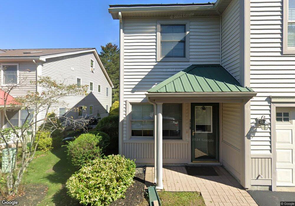
118 Starbird Rd Unit 118 Portland, ME 04102
Nasons Corner NeighborhoodEstimated Value: $535,000 - $582,000
3
Beds
3
Baths
2,612
Sq Ft
$215/Sq Ft
Est. Value
About This Home
This home is located at 118 Starbird Rd Unit 118, Portland, ME 04102 and is currently estimated at $561,131, approximately $214 per square foot. 118 Starbird Rd Unit 118 is a home located in Cumberland County with nearby schools including Amanda C Rowe School, Lincoln Middle School, and Breakwater School.
Ownership History
Date
Name
Owned For
Owner Type
Purchase Details
Closed on
Mar 28, 2014
Sold by
Cummings Jennifer H and Cummings Ian G
Bought by
Noyes-Blyth Carolyn and Blyth Graham
Current Estimated Value
Purchase Details
Closed on
Mar 30, 2006
Sold by
Brown Dev Corp
Bought by
Mondelli Christine
Home Financials for this Owner
Home Financials are based on the most recent Mortgage that was taken out on this home.
Original Mortgage
$225,500
Interest Rate
6.32%
Mortgage Type
Purchase Money Mortgage
Create a Home Valuation Report for This Property
The Home Valuation Report is an in-depth analysis detailing your home's value as well as a comparison with similar homes in the area
Home Values in the Area
Average Home Value in this Area
Purchase History
| Date | Buyer | Sale Price | Title Company |
|---|---|---|---|
| Noyes-Blyth Carolyn | -- | -- | |
| Mondelli Christine | -- | -- |
Source: Public Records
Mortgage History
| Date | Status | Borrower | Loan Amount |
|---|---|---|---|
| Previous Owner | Mondelli Christine | $225,500 |
Source: Public Records
Tax History Compared to Growth
Tax History
| Year | Tax Paid | Tax Assessment Tax Assessment Total Assessment is a certain percentage of the fair market value that is determined by local assessors to be the total taxable value of land and additions on the property. | Land | Improvement |
|---|---|---|---|---|
| 2024 | $5,480 | $365,100 | $73,020 | $292,080 |
| 2023 | $5,261 | $365,100 | $73,020 | $292,080 |
| 2022 | $4,969 | $365,100 | $73,020 | $292,080 |
| 2021 | $4,743 | $365,100 | $73,020 | $292,080 |
| 2020 | $6,249 | $268,100 | $53,600 | $214,500 |
| 2019 | $6,249 | $268,100 | $53,600 | $214,500 |
| 2018 | $5,804 | $268,100 | $53,600 | $214,500 |
| 2017 | $5,804 | $268,100 | $53,600 | $214,500 |
| 2016 | $5,660 | $268,100 | $53,600 | $214,500 |
| 2015 | $5,531 | $268,100 | $53,600 | $214,500 |
| 2014 | $5,362 | $268,100 | $53,600 | $214,500 |
Source: Public Records
Map
Nearby Homes
- 63A Capisic St
- 17 Sandy Terrace
- 131 Colonial Rd
- 75 Glenridge
- 23 Glenridge
- 222 Ludlow St
- 0 Hillcrest Ave
- 73 Jeanne St
- 36 Leeman St Unit 1
- 70 Columbia Rd
- 1346 Westbrook St
- 99 Webb St
- 60 Kent St
- 44 Montrose Ave
- 1549 Westbrook St
- 7 Twin Knolls Ln
- 16 Black Sparrow Dr
- 301 Stevens Ave
- 321 Stevens Ave
- 218 Bradley St
- 118 Starbird Rd
- 118 Starbird Rd Unit 10
- 120 Starbird Rd
- 120 Starbird Rd Unit 11
- 114 Starbird Rd
- 122 Starbird Rd
- 112 Starbird Rd
- 112 Starbird Rd Unit 8
- 110 Starbird Rd
- 110 Starbird Rd Unit 110
- 110 Starbird Rd Unit 7
- 98 Starbird Rd
- 98 Starbird Rd Unit 2
- 106 Starbird Rd
- 104 Starbird Rd
- 104 Starbird Rd Unit 104
- 104 Starbird Rd Unit 5
- 300 Capisic St
- 294 Capisic St
- 102 Starbird Rd