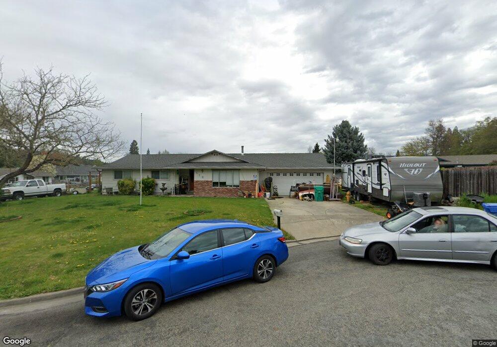
118 Thomas Cir Grants Pass, OR 97527
Estimated Value: $369,467 - $377,000
3
Beds
2
Baths
1,383
Sq Ft
$270/Sq Ft
Est. Value
About This Home
This home is located at 118 Thomas Cir, Grants Pass, OR 97527 and is currently estimated at $373,234, approximately $269 per square foot. 118 Thomas Cir is a home located in Josephine County with nearby schools including Allen Dale Elementary School, South Middle School, and Grants Pass High School.
Ownership History
Date
Name
Owned For
Owner Type
Purchase Details
Closed on
Mar 21, 2018
Sold by
Loffer Judy F
Bought by
Loffer Randy W and Huffman-Loffer Kelly M
Current Estimated Value
Home Financials for this Owner
Home Financials are based on the most recent Mortgage that was taken out on this home.
Original Mortgage
$200,000
Outstanding Balance
$170,764
Interest Rate
4.32%
Mortgage Type
New Conventional
Estimated Equity
$202,470
Purchase Details
Closed on
Aug 5, 2010
Sold by
White Thomas A and White Mardine A
Bought by
Loffer Billie G and Loffer Judy F
Create a Home Valuation Report for This Property
The Home Valuation Report is an in-depth analysis detailing your home's value as well as a comparison with similar homes in the area
Home Values in the Area
Average Home Value in this Area
Purchase History
| Date | Buyer | Sale Price | Title Company |
|---|---|---|---|
| Loffer Randy W | $250,000 | First American Title | |
| Loffer Billie G | $135,000 | First American |
Source: Public Records
Mortgage History
| Date | Status | Borrower | Loan Amount |
|---|---|---|---|
| Open | Loffer Randy W | $200,000 |
Source: Public Records
Tax History Compared to Growth
Tax History
| Year | Tax Paid | Tax Assessment Tax Assessment Total Assessment is a certain percentage of the fair market value that is determined by local assessors to be the total taxable value of land and additions on the property. | Land | Improvement |
|---|---|---|---|---|
| 2025 | $2,772 | $213,420 | -- | -- |
| 2024 | $2,772 | $207,210 | -- | -- |
| 2023 | $2,691 | $201,180 | $0 | $0 |
| 2022 | $2,623 | $195,330 | -- | -- |
| 2021 | $2,464 | $189,650 | $0 | $0 |
| 2020 | $2,393 | $184,130 | $0 | $0 |
| 2019 | $2,323 | $178,770 | $0 | $0 |
| 2018 | $2,364 | $173,570 | $0 | $0 |
| 2017 | $2,347 | $168,520 | $0 | $0 |
| 2016 | $2,040 | $163,620 | $0 | $0 |
| 2015 | $1,934 | $158,860 | $0 | $0 |
| 2014 | $1,950 | $158,540 | $0 | $0 |
Source: Public Records
Map
Nearby Homes
- 2850 Williams Hwy
- 231 SE Sand Canyon Ln
- 213 Kroner Dr
- 201 SE Sand Canyon Ln
- 2704 Denton Trail
- 2708 Denton Trail
- 2700 Denton Trail
- 2732 Denton Trail
- 15577 Oregon 238
- 214 SE Sapphire Ct
- 112 Arroyo Dr
- Lot 5 Sylvan Dr
- 235 Larkin Rd
- 3351 SW Bennett Ln
- 3280 New Hope Rd
- 126 SW Whispering Dr
- Lot 4 Sylvan Dr
- 175 Morris Ln
- 0 Sylvan Dr Unit Lot 10 220196204
- 2538 Thomas Terrace
- 2795 Florer Dr
- 132 Thomas Cir
- 117 Thomas Cir
- 130 Thomas Cir
- 2787 Florer Dr
- 133 Thomas Cir
- 112 Gregg Cir
- 2794 Florer Dr
- 2777 Florer Dr
- 2784 Florer Dr
- 2820 Florer Dr
- 2827 Florer Dr
- 2776 Williams Hwy Unit A
- 2776 Williams 2778 Hwy
- 160 Corbin Dr
- 211 Mini Ln
- 211 Mini Ln
- 2798 Williams Hwy
- 134 Gregg Cir
- 2796 Williams Hwy