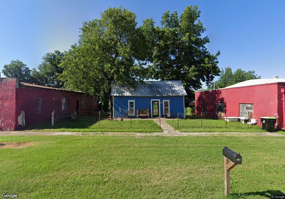
118 W Apache St Purcell, OK 73080
Estimated Value: $75,836 - $142,000
2
Beds
1
Bath
864
Sq Ft
$110/Sq Ft
Est. Value
About This Home
This home is located at 118 W Apache St, Purcell, OK 73080 and is currently estimated at $94,709, approximately $109 per square foot. 118 W Apache St is a home located in McClain County with nearby schools including Purcell Elementary School, Purcell Intermediate School, and Purcell Junior High School.
Ownership History
Date
Name
Owned For
Owner Type
Purchase Details
Closed on
Nov 17, 2025
Sold by
Fishburn Properties Llc
Bought by
Fishburn Brett Ronald
Current Estimated Value
Purchase Details
Closed on
Jul 8, 2024
Sold by
Evans Ronda Elizabeth and Evans Matthew Allen
Bought by
Fishburn Properties Llc
Purchase Details
Closed on
Jun 25, 2024
Sold by
Fishburn Brett Ronald and Fishburn Christine Gillet
Bought by
Fishburn Properties Llc
Purchase Details
Closed on
May 31, 2024
Sold by
Fishburn Tol Moore and Price Kathryn Lynn
Bought by
Fishburn Properties Llc
Purchase Details
Closed on
May 23, 2024
Sold by
Rios Leah Fishburn and Rios Edward Michael
Bought by
Fishburn Properties Llc
Create a Home Valuation Report for This Property
The Home Valuation Report is an in-depth analysis detailing your home's value as well as a comparison with similar homes in the area
Home Values in the Area
Average Home Value in this Area
Purchase History
| Date | Buyer | Sale Price | Title Company |
|---|---|---|---|
| Fishburn Brett Ronald | -- | None Listed On Document | |
| Fishburn Properties Llc | -- | None Listed On Document | |
| Fishburn Properties Llc | -- | None Listed On Document | |
| Fishburn Properties Llc | -- | None Listed On Document | |
| Fishburn Properties Llc | -- | None Listed On Document | |
| Fishburn Properties Llc | -- | None Listed On Document | |
| Fishburn Properties Llc | -- | None Listed On Document |
Source: Public Records
Tax History
| Year | Tax Paid | Tax Assessment Tax Assessment Total Assessment is a certain percentage of the fair market value that is determined by local assessors to be the total taxable value of land and additions on the property. | Land | Improvement |
|---|---|---|---|---|
| 2025 | $182 | $1,676 | $582 | $1,094 |
| 2024 | $173 | $1,596 | $554 | $1,042 |
| 2023 | $173 | $1,520 | $547 | $973 |
| 2022 | $155 | $1,447 | $540 | $907 |
| 2021 | $149 | $1,379 | $536 | $843 |
| 2020 | $141 | $1,314 | $531 | $783 |
| 2019 | $137 | $1,251 | $525 | $726 |
| 2018 | $129 | $1,191 | $506 | $685 |
| 2017 | $121 | $1,135 | $478 | $657 |
| 2016 | $116 | $1,080 | $440 | $640 |
| 2015 | $112 | $1,029 | $440 | $589 |
| 2014 | $106 | $980 | $440 | $540 |
Source: Public Records
Map
Nearby Homes
- 204 S Canadian Ave
- 206 W Brule St
- 324 W Comanche St
- 529 S 2nd Ave
- 230 W Adams St
- 0 State Highway 74
- 528 W Brule St
- 523 W Main St
- 24864 Norte Rd
- 504 W Adams St
- 127 W Huron St
- 825 S 3rd Ave
- 621 N 2nd Ave
- 229 N 6th Ave
- 24915 Norte Rd
- 407 Truman Place
- 1011 S Canadian Ave
- 0000 Jackson St
- 430 N 8th Ave
- 819 W Adams St
- 123 W Brule St
- 117 W Brule St
- 131 W Brule St
- 217 S Canadian St
- 113 W Brule St
- 202 W Apache St
- 225 S Canadian St
- 205 W Brule St
- 204 W Apache St
- 119 S Canadian Ave
- 130 W Brule St
- 124 W Brule St
- 210 W Apache St
- 128 W Brule St
- 116 W Brule St
- 112 W Brule St
- 301 S Canadian St
- 207 W Apache St
- 130 S Canadian Ave
- 213 W Brule St
Your Personal Tour Guide
Ask me questions while you tour the home.