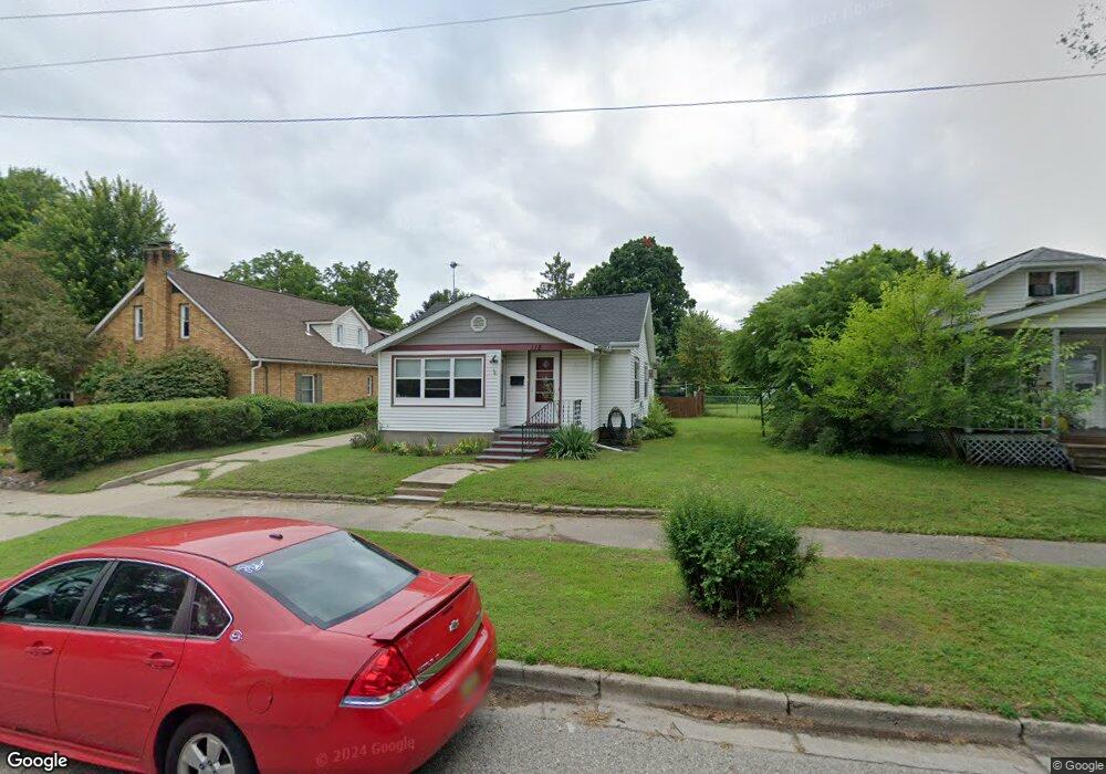
118 W Bridge St Big Rapids, MI 49307
Estimated Value: $134,000 - $160,000
2
Beds
1
Bath
1,009
Sq Ft
$142/Sq Ft
Est. Value
About This Home
This home is located at 118 W Bridge St, Big Rapids, MI 49307 and is currently estimated at $143,669, approximately $142 per square foot. 118 W Bridge St is a home located in Mecosta County with nearby schools including Big Rapids High School, Crossroads Charter Academy Elementary School, and Crossroads Charter Academy Middle/High School.
Ownership History
Date
Name
Owned For
Owner Type
Purchase Details
Closed on
Feb 21, 2020
Sold by
Sims Steven and Estate Of Dorothy Sims
Bought by
Littke Joel E and Littke Linda M
Current Estimated Value
Home Financials for this Owner
Home Financials are based on the most recent Mortgage that was taken out on this home.
Original Mortgage
$69,445
Outstanding Balance
$61,489
Interest Rate
3.6%
Mortgage Type
New Conventional
Estimated Equity
$82,180
Create a Home Valuation Report for This Property
The Home Valuation Report is an in-depth analysis detailing your home's value as well as a comparison with similar homes in the area
Home Values in the Area
Average Home Value in this Area
Purchase History
| Date | Buyer | Sale Price | Title Company |
|---|---|---|---|
| Littke Joel E | $73,100 | Surveyors Ttl Of Osceola Cnt |
Source: Public Records
Mortgage History
| Date | Status | Borrower | Loan Amount |
|---|---|---|---|
| Open | Littke Joel E | $69,445 |
Source: Public Records
Tax History Compared to Growth
Tax History
| Year | Tax Paid | Tax Assessment Tax Assessment Total Assessment is a certain percentage of the fair market value that is determined by local assessors to be the total taxable value of land and additions on the property. | Land | Improvement |
|---|---|---|---|---|
| 2025 | $2,370 | $61,000 | $0 | $0 |
| 2024 | -- | $55,200 | $0 | $0 |
| 2023 | -- | $49,600 | $0 | $0 |
| 2022 | $2,272 | $41,400 | $0 | $0 |
| 2021 | $2,272 | $37,200 | $0 | $0 |
| 2020 | -- | -- | $0 | $0 |
| 2019 | -- | -- | $0 | $0 |
| 2018 | -- | -- | $0 | $0 |
| 2017 | -- | -- | $0 | $0 |
| 2016 | -- | -- | $0 | $0 |
| 2014 | -- | -- | $0 | $0 |
| 2013 | -- | -- | $0 | $0 |
Source: Public Records
Map
Nearby Homes
- 818 N State St
- 118 E Grand Traverse St
- 629 Rose Ave
- 521 N Michigan Ave
- 513 Rose Ave
- 709 Tioga Park Dr
- 717 Tioga Park Dr Unit 717
- 713 Tioga Park Dr
- 226 Baldwin St
- 722 Tioga Park Dr Unit 722
- 734 Unit 734 Tioga Park
- 515 W Bridge St
- 409 Marion Ave
- 817 N 4th Ave
- 114 N Warren Ave
- V/L Northland Dr
- 308 Finley Ave
- 316 2nd Ave
- 1008 Henderson St
- 226 2nd Ave
- 104 W Bridge St
- 112 W Bridge St
- 116 W Bridge St
- 729 N State St
- 721 N State St
- 717 N State St
- 720 N State St
- 804 N State St
- 804 N State St
- 701 Marion Ave
- 711 Marion Ave
- 715 Marion Ave
- 719 Marion Ave
- 721 Marion Ave
- 729 Marion Ave
- 726 Marion Ave
- 720 Marion Ave
- 712 Marion Ave
- 115 W Bridge St
- 702 Marion Ave