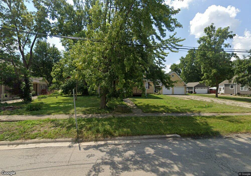
118 W Haven Ave New Lenox, IL 60451
Estimated Value: $331,000 - $435,178
--
Bed
--
Bath
--
Sq Ft
0.47
Acres
About This Home
This home is located at 118 W Haven Ave, New Lenox, IL 60451 and is currently estimated at $368,295. 118 W Haven Ave is a home located in Will County with nearby schools including Bentley Elementary School, Arnold J Tyler School, and Alex M Martino Jr High School.
Ownership History
Date
Name
Owned For
Owner Type
Purchase Details
Closed on
Jun 12, 2024
Sold by
Avants Judy A
Bought by
Judy A Avants Declaration Of Trust and Avants
Current Estimated Value
Purchase Details
Closed on
Aug 18, 2003
Sold by
Saxton Thomas B
Bought by
Buzzard Steven and Avants Judy
Home Financials for this Owner
Home Financials are based on the most recent Mortgage that was taken out on this home.
Original Mortgage
$208,700
Interest Rate
6.18%
Mortgage Type
Purchase Money Mortgage
Create a Home Valuation Report for This Property
The Home Valuation Report is an in-depth analysis detailing your home's value as well as a comparison with similar homes in the area
Home Values in the Area
Average Home Value in this Area
Purchase History
| Date | Buyer | Sale Price | Title Company |
|---|---|---|---|
| Judy A Avants Declaration Of Trust | -- | None Listed On Document | |
| Avants Judy A | -- | None Listed On Document | |
| Buzzard Steven | $265,000 | Chicago Title Insurance Co |
Source: Public Records
Mortgage History
| Date | Status | Borrower | Loan Amount |
|---|---|---|---|
| Previous Owner | Buzzard Steven | $208,700 | |
| Closed | Buzzard Steven | $53,000 |
Source: Public Records
Tax History Compared to Growth
Tax History
| Year | Tax Paid | Tax Assessment Tax Assessment Total Assessment is a certain percentage of the fair market value that is determined by local assessors to be the total taxable value of land and additions on the property. | Land | Improvement |
|---|---|---|---|---|
| 2024 | $10,255 | $134,369 | $26,818 | $107,551 |
| 2023 | $10,255 | $122,488 | $24,447 | $98,041 |
| 2022 | $9,848 | $112,840 | $22,521 | $90,319 |
| 2021 | $8,775 | $106,122 | $21,180 | $84,942 |
| 2020 | $8,525 | $102,335 | $20,424 | $81,911 |
| 2019 | $8,158 | $99,162 | $19,791 | $79,371 |
| 2018 | $7,969 | $95,744 | $19,109 | $76,635 |
| 2017 | $7,572 | $92,992 | $18,560 | $74,432 |
| 2016 | $7,349 | $90,503 | $18,063 | $72,440 |
| 2015 | $7,114 | $87,654 | $17,494 | $70,160 |
| 2014 | $7,114 | $86,572 | $17,278 | $69,294 |
| 2013 | $7,114 | $87,739 | $17,511 | $70,228 |
Source: Public Records
Map
Nearby Homes
- 315 S Pine St
- 00 NE Corner Cherry Hill Road and Moss Lane Rd
- 416 Manor Ct Unit B
- 105 Roy St
- 574 Prairie Crossing Dr
- 218 Manor Dr Unit A
- 524 Waverly Ct Unit D
- 328 E Lincoln Hwy
- 718 S Prairie Rd
- 235 Roberts Rd
- 331 Old Hickory Rd
- 203 Tonell Ave
- 808 Stonegate Rd
- 217 Aspen Dr
- 224 Hauser Ct
- 338 Willow St
- Vacant W Maple St
- 709 Young Dr
- 1017 E Lincoln Hwy
- 449 Somerset Ln Unit 1