118 W Larry Rd Shawnee, OK 74804
Estimated Value: $192,004 - $246,000
3
Beds
2
Baths
1,508
Sq Ft
$146/Sq Ft
Est. Value
About This Home
This home is located at 118 W Larry Rd, Shawnee, OK 74804 and is currently estimated at $219,751, approximately $145 per square foot. 118 W Larry Rd is a home located in Pottawatomie County with nearby schools including Dale Elementary School, Dale Middle School, and Dale High School.
Ownership History
Date
Name
Owned For
Owner Type
Purchase Details
Closed on
Feb 12, 2005
Sold by
Rutland Philip Keith and Rutland Phillip
Bought by
Rutland Phillip Keith and Rutland Stephanie D
Current Estimated Value
Home Financials for this Owner
Home Financials are based on the most recent Mortgage that was taken out on this home.
Original Mortgage
$90,400
Outstanding Balance
$31,344
Interest Rate
1%
Mortgage Type
Adjustable Rate Mortgage/ARM
Estimated Equity
$188,407
Purchase Details
Closed on
Jun 8, 2001
Sold by
Hasbrook Roellen and Hasbrook David
Bought by
Rutland Phillip and Rutland Stephan
Create a Home Valuation Report for This Property
The Home Valuation Report is an in-depth analysis detailing your home's value as well as a comparison with similar homes in the area
Home Values in the Area
Average Home Value in this Area
Purchase History
| Date | Buyer | Sale Price | Title Company |
|---|---|---|---|
| Rutland Phillip Keith | -- | None Available | |
| Rutland Phillip | $7,500 | -- |
Source: Public Records
Mortgage History
| Date | Status | Borrower | Loan Amount |
|---|---|---|---|
| Open | Rutland Phillip Keith | $90,400 |
Source: Public Records
Tax History Compared to Growth
Tax History
| Year | Tax Paid | Tax Assessment Tax Assessment Total Assessment is a certain percentage of the fair market value that is determined by local assessors to be the total taxable value of land and additions on the property. | Land | Improvement |
|---|---|---|---|---|
| 2024 | $1,176 | $11,717 | $1,484 | $10,233 |
| 2023 | $1,176 | $11,375 | $1,439 | $9,936 |
| 2022 | $1,031 | $11,044 | $1,396 | $9,648 |
| 2021 | $1,096 | $11,044 | $1,396 | $9,648 |
| 2020 | $1,060 | $10,410 | $1,313 | $9,097 |
| 2019 | $1,066 | $10,108 | $1,248 | $8,860 |
| 2018 | $1,020 | $9,813 | $1,192 | $8,621 |
| 2017 | $952 | $9,527 | $1,148 | $8,379 |
| 2016 | $807 | $9,250 | $1,092 | $8,158 |
| 2015 | $762 | $8,981 | $1,158 | $7,823 |
| 2014 | $762 | $8,719 | $927 | $7,792 |
Source: Public Records
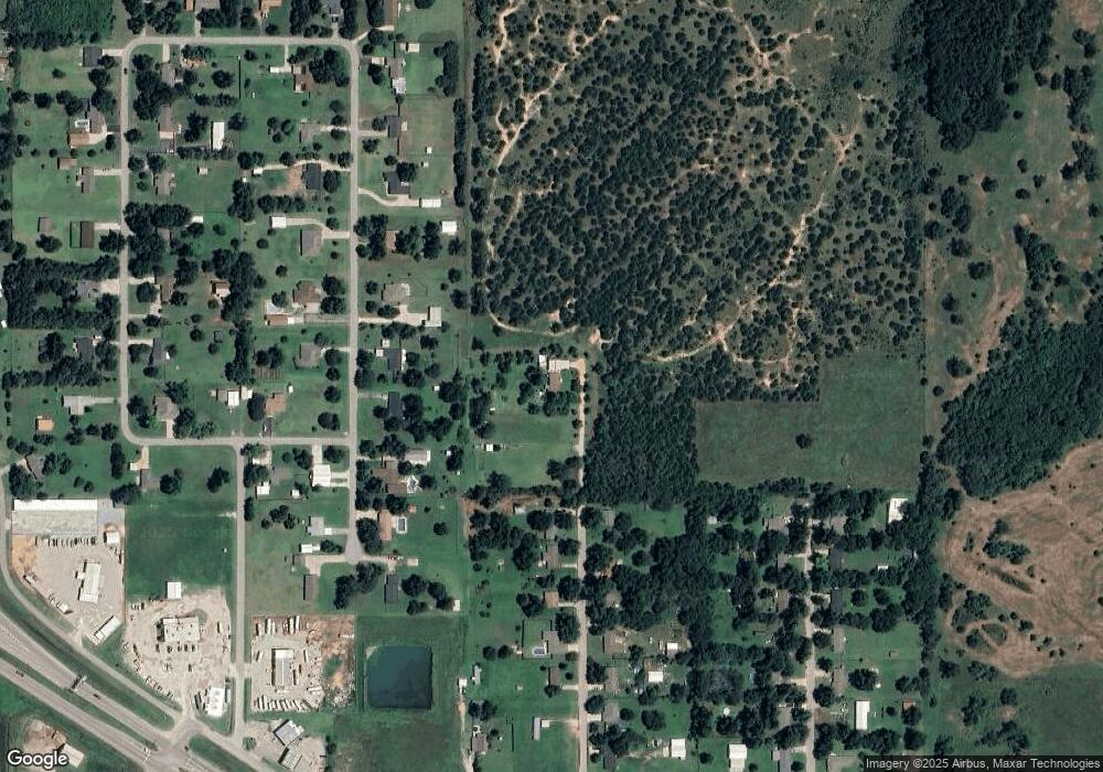
Map
Nearby Homes
- 15 Gaddy Rd
- 12803 Gaddy Rd
- 5557 Coker Rd
- 120 Acres Hwy 140 & Hwy 177 Rd
- 2666 Legacy Place
- 13804 Coker Rd
- 129 Lake Shore Dr
- 121 Lake Shore Dr
- 38604 Collina Dr
- 70 Kristen Ct
- 36236 Prairie Ridge Ct
- 37614 W Macarthur St
- 36021 Prairie Rdg Rd
- 00 Gaddy Lot 2 Rd
- 35502 Pecan Grove Rd
- 35407 Westech Rd
- 36656 Garrett's Lake Rd
- 1000 W 45th St
- 14955 White Oak Ln
- 1933 Rain Tree Dr