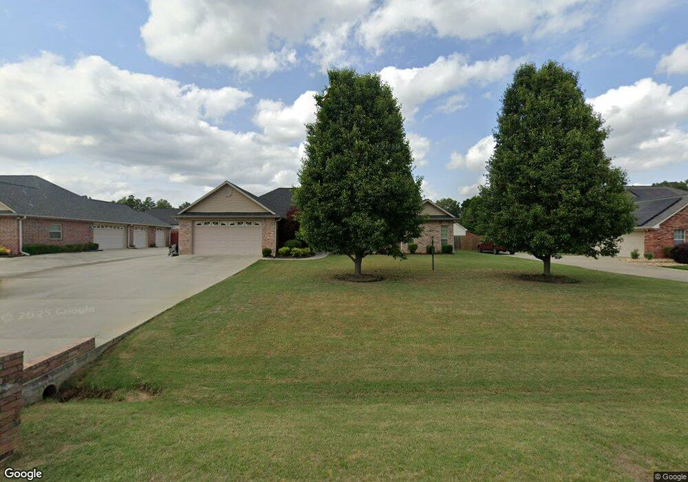
118 W Starlite Dr Texarkana, TX 75501
Estimated Value: $397,000 - $472,000
--
Bed
--
Bath
3,251
Sq Ft
$132/Sq Ft
Est. Value
About This Home
This home is located at 118 W Starlite Dr, Texarkana, TX 75501 and is currently estimated at $427,802, approximately $131 per square foot. 118 W Starlite Dr is a home located in Bowie County with nearby schools including Liberty-Eylau Early Childhood Center, Liberty-Eylau C.K. Bender Elementary Campus, and Liberty-Eylau Primary School.
Ownership History
Date
Name
Owned For
Owner Type
Purchase Details
Closed on
Dec 3, 2009
Sold by
Cbsc Inc Corp
Bought by
Bickerstaff Chris L and Bickerstaff Valencia A
Current Estimated Value
Home Financials for this Owner
Home Financials are based on the most recent Mortgage that was taken out on this home.
Original Mortgage
$227,525
Outstanding Balance
$148,489
Interest Rate
4.99%
Mortgage Type
New Conventional
Estimated Equity
$279,313
Create a Home Valuation Report for This Property
The Home Valuation Report is an in-depth analysis detailing your home's value as well as a comparison with similar homes in the area
Home Values in the Area
Average Home Value in this Area
Purchase History
| Date | Buyer | Sale Price | Title Company |
|---|---|---|---|
| Bickerstaff Chris L | -- | Bowiwe County Title Llc |
Source: Public Records
Mortgage History
| Date | Status | Borrower | Loan Amount |
|---|---|---|---|
| Open | Bickerstaff Chris L | $227,525 |
Source: Public Records
Tax History Compared to Growth
Tax History
| Year | Tax Paid | Tax Assessment Tax Assessment Total Assessment is a certain percentage of the fair market value that is determined by local assessors to be the total taxable value of land and additions on the property. | Land | Improvement |
|---|---|---|---|---|
| 2025 | $5,261 | $490,122 | -- | -- |
| 2024 | $5,261 | $445,565 | $21,500 | $485,129 |
| 2023 | $6,052 | $405,059 | $0 | $0 |
| 2022 | $6,345 | $440,551 | $21,500 | $419,051 |
| 2021 | $6,133 | $334,759 | $20,000 | $314,759 |
| 2020 | $5,777 | $319,955 | $20,000 | $299,955 |
| 2019 | $5,526 | $305,841 | $20,000 | $285,841 |
| 2018 | $5,024 | $294,966 | $20,000 | $274,966 |
| 2017 | $4,550 | $235,128 | $20,000 | $215,128 |
| 2016 | $4,430 | $228,955 | $20,000 | $208,955 |
| 2015 | $3,790 | $226,901 | $20,000 | $206,901 |
| 2014 | $3,790 | $224,910 | $20,000 | $204,910 |
Source: Public Records
Map
Nearby Homes
- 194 W Starlite Dr
- 280 Patriot Way
- 101 Redwood Dr
- 6 Southridge St
- 6514 Buchanan Loop Rd
- 403 Brookfield St
- 7689 Us-59
- 6606 Us-59
- 6606 Us Highway 59 S
- 7685 State Highway 59
- 6815 Buchanan Loop Rd
- 144 Joe Tyl Rd
- 2043 Randall Rd
- lot15 B2 Quail Brook
- lot15 B1 Quail Brook
- lot14 B2 Quail Brook
- Lot 1 B2 Quail Brook
- 39 Quail Brook Dr
- 0 Randall Rd
- 206 Fm 3244
- 126 W Starlite Dr
- 104 W Starlite Dr
- 135 Patriot Way
- 155 Patriot Way
- 150 W Starlite Dr
- 175 Patriot Way
- 115 W Starlite Dr
- 172 W Starlite Dr
- 131 W Starlite Dr
- 101 W Starlite Dr
- 319 W Starlite Dr
- 0 W Starlite Dr
- 195 Patriot Way
- 82 Patriot Way
- 153 W Starlite Dr
- 140 Patriot Way
- 45 Patriot Way
- 160 Patriot Way
- 120 Patriotway
- 215 Patriot Way