118 West Pointe Rd Rocky Point, NC 28457
Estimated Value: $469,000 - $601,987
3
Beds
3
Baths
3,584
Sq Ft
$146/Sq Ft
Est. Value
About This Home
This home is located at 118 West Pointe Rd, Rocky Point, NC 28457 and is currently estimated at $523,497, approximately $146 per square foot. 118 West Pointe Rd is a home located in Pender County with nearby schools including Cape Fear Elementary School, Cape Fear Middle School, and Heide Trask High School.
Ownership History
Date
Name
Owned For
Owner Type
Purchase Details
Closed on
May 20, 2025
Sold by
International Paper Company and Ip Farms Inc
Bought by
Brp Minerals Llc
Current Estimated Value
Purchase Details
Closed on
Oct 7, 2003
Bought by
Hall Geoffrey L
Create a Home Valuation Report for This Property
The Home Valuation Report is an in-depth analysis detailing your home's value as well as a comparison with similar homes in the area
Home Values in the Area
Average Home Value in this Area
Purchase History
| Date | Buyer | Sale Price | Title Company |
|---|---|---|---|
| Brp Minerals Llc | -- | None Listed On Document | |
| Brp Minerals Llc | -- | None Listed On Document | |
| Hall Geoffrey L | $54,500 | -- |
Source: Public Records
Tax History Compared to Growth
Tax History
| Year | Tax Paid | Tax Assessment Tax Assessment Total Assessment is a certain percentage of the fair market value that is determined by local assessors to be the total taxable value of land and additions on the property. | Land | Improvement |
|---|---|---|---|---|
| 2024 | $3,648 | $370,698 | $39,825 | $330,873 |
| 2023 | $3,325 | $370,698 | $39,825 | $330,873 |
| 2022 | $3,325 | $370,698 | $39,825 | $330,873 |
| 2021 | $3,495 | $391,008 | $60,135 | $330,873 |
| 2020 | $3,228 | $364,643 | $60,135 | $304,508 |
| 2019 | $3,228 | $364,643 | $60,135 | $304,508 |
| 2018 | $2,993 | $320,547 | $50,000 | $270,547 |
| 2017 | $2,993 | $320,547 | $50,000 | $270,547 |
| 2016 | $2,961 | $320,547 | $50,000 | $270,547 |
| 2015 | $2,926 | $320,547 | $50,000 | $270,547 |
| 2014 | $2,287 | $320,547 | $50,000 | $270,547 |
| 2013 | -- | $320,547 | $50,000 | $270,547 |
| 2012 | -- | $320,547 | $50,000 | $270,547 |
Source: Public Records
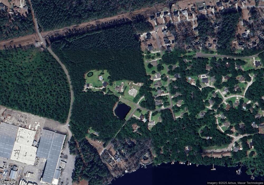
Map
Nearby Homes
- 44 Merganser Loop
- 102 Autumn Ct
- 165 Gooseneck Rd W
- 87 Strut Way
- 906 W Belair Ct
- 477 Toms Creek Rd
- 12292 U S 117
- Lot #1 Harts Ln
- 3 Castle Farms Rd
- 2 Castle Farms Rd
- 424 Turkey Creek Rd
- 115 Windward Dr
- 508 Mcclure Cir
- 6505 Boatway Ct
- 11215 U S 117
- 124 Marlboro Farms Rd
- 3739 Prince George Ave
- 103 Shearin Hills Dr
- 5207 Castle Hayne Rd
- 3508 Marathon Ave
- 110 W Point Rd
- 49 W Pointe Rd
- 0 W Pointe Rd
- 1 W Pointe Rd
- 16 W Pointe Rd
- 130 West Pointe Rd
- 101 Southpoint Rd
- 220 East Pointe Rd
- 200 East Pointe Rd
- 180 E Point Rd
- 100 W Point Rd
- 100 W Pointe Rd
- 150 E Point Rd
- 121 Southpoint Rd
- 0 E Pointe Rd
- 109 W Point Rd
- 109 W Pointe Rd
- 110 E Point Rd
- 105 W Pointe Rd
- 201 E Pointe Rd