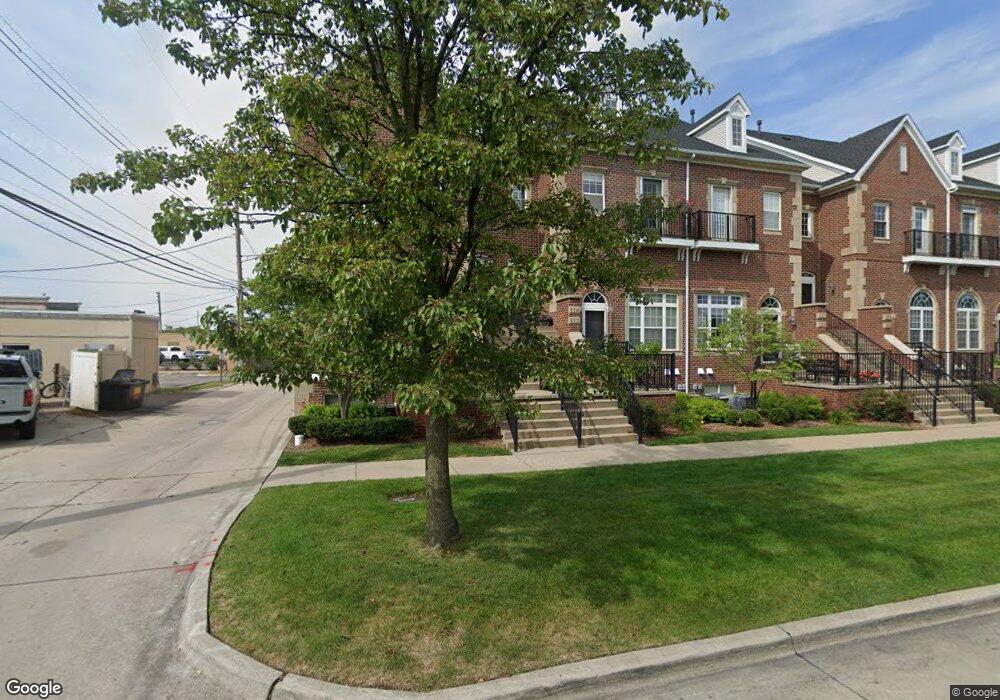
118 West Rd Trenton, MI 48183
Estimated Value: $227,000 - $277,000
--
Bed
2
Baths
1,604
Sq Ft
$151/Sq Ft
Est. Value
About This Home
This home is located at 118 West Rd, Trenton, MI 48183 and is currently estimated at $242,108, approximately $150 per square foot. 118 West Rd is a home located in Wayne County with nearby schools including Jesse L. Anderson Elementary School, Boyd W. Arthurs Middle School, and Trenton High School.
Ownership History
Date
Name
Owned For
Owner Type
Purchase Details
Closed on
Apr 17, 2025
Sold by
Trenton Pier I Condominium Association
Bought by
Wayne County Condominium Subdivision Plan No
Current Estimated Value
Purchase Details
Closed on
Apr 7, 2008
Sold by
Hartleib Vanessa M
Bought by
Hartleib Brice A
Purchase Details
Closed on
Jul 9, 2003
Sold by
City Of Trenton
Bought by
Hartlieb Brice
Create a Home Valuation Report for This Property
The Home Valuation Report is an in-depth analysis detailing your home's value as well as a comparison with similar homes in the area
Home Values in the Area
Average Home Value in this Area
Purchase History
| Date | Buyer | Sale Price | Title Company |
|---|---|---|---|
| Wayne County Condominium Subdivision Plan No | -- | None Listed On Document | |
| Wayne County Condominium Subdivision Plan No | -- | None Listed On Document | |
| Hartleib Brice A | -- | None Available | |
| Hartleib Brice A | -- | None Available | |
| Hartlieb Brice | -- | Seaver Title |
Source: Public Records
Tax History Compared to Growth
Tax History
| Year | Tax Paid | Tax Assessment Tax Assessment Total Assessment is a certain percentage of the fair market value that is determined by local assessors to be the total taxable value of land and additions on the property. | Land | Improvement |
|---|---|---|---|---|
| 2025 | $2,717 | $119,300 | $0 | $0 |
| 2024 | $2,717 | $114,200 | $0 | $0 |
| 2023 | $2,548 | $89,800 | $0 | $0 |
| 2022 | $3,462 | $83,600 | $0 | $0 |
| 2021 | $3,347 | $80,200 | $0 | $0 |
| 2020 | $3,384 | $79,800 | $0 | $0 |
| 2019 | $3,334 | $77,100 | $0 | $0 |
| 2018 | $2,204 | $71,600 | $0 | $0 |
| 2017 | $1,906 | $68,200 | $0 | $0 |
| 2016 | $2,974 | $62,600 | $0 | $0 |
| 2015 | $5,264 | $57,700 | $0 | $0 |
| 2013 | $5,100 | $53,800 | $0 | $0 |
| 2012 | $2,638 | $50,900 | $5,500 | $45,400 |
Source: Public Records
Map
Nearby Homes
- 2744 Riverside Dr Unit 17
- 2767 Riverside Dr
- 417 Saint Joseph St
- 2617 4th St
- 2848 4th St
- 2931 4th St
- 2445 Riverside Dr Unit 206
- 2850 5th St
- 2419 Riverside Dr Unit 208
- 3437 3rd St Unit G
- 1225 Harbour Dr Unit 28
- 1935 Church Place
- 3924 W Jefferson Ave Unit 3924
- 22241 Miami Dr
- 2610 Gorno St
- 2330 Cambridge St
- 2100 Fort St
- 000 Marlborough Dr
- 3321 John R St
- 2657 Chelsea St
- 112 West Rd
- 116 West Rd Unit 1
- 114 West Rd Unit 4
- 2774 Riverside Dr
- 2774 Riverside Dr Unit 11
- 2774 Riverside Dr Unit 2774 11
- 80 West Rd Unit 37
- 108 West Rd Unit 5
- 2808 Riverside Dr
- 110 West Rd Unit 6
- 2764 Riverside Dr Unit 12
- 104 West Rd Unit 7
- 2752 Riverside Dr
- 2752 Riverside Dr Unit 13
- 106 West Rd Unit 8
- 106 West Rd Unit TRENTON
- 100 West Rd
- 102 West Rd Unit 10
- 2742 Riverside Dr Unit 20
- 2742 Riverside Dr