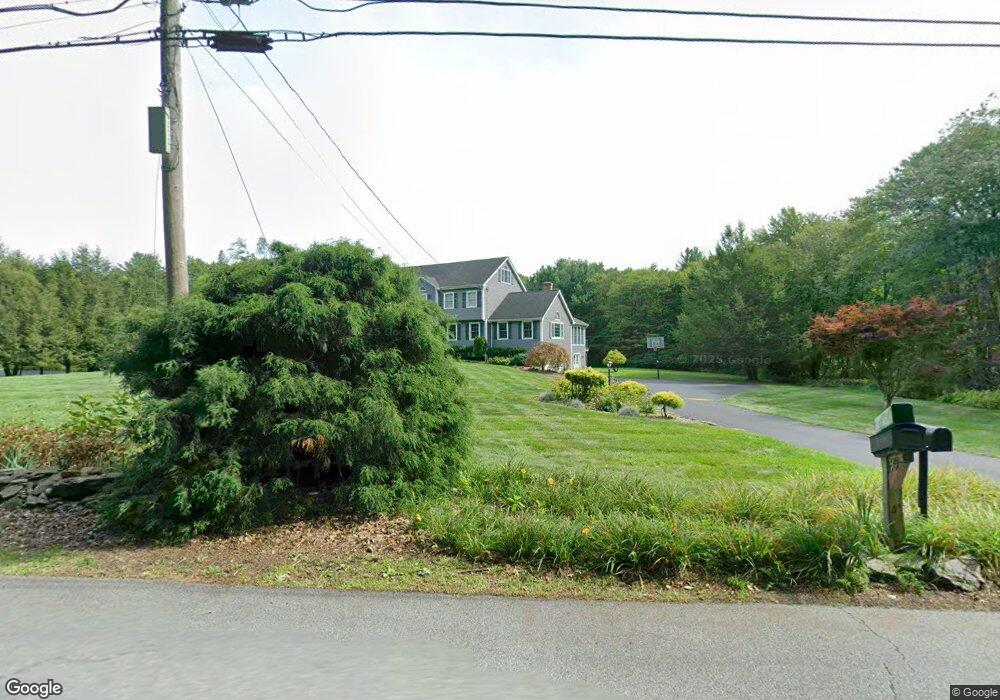
118 Wyman Rd Groton, MA 01450
Estimated Value: $970,000 - $1,036,000
4
Beds
4
Baths
3,153
Sq Ft
$318/Sq Ft
Est. Value
About This Home
This home is located at 118 Wyman Rd, Groton, MA 01450 and is currently estimated at $1,002,764, approximately $318 per square foot. 118 Wyman Rd is a home located in Middlesex County with nearby schools including Groton Dunstable Regional High School, Pepperell Christian Academy, and Maple Dene & Moppet School.
Ownership History
Date
Name
Owned For
Owner Type
Purchase Details
Closed on
Sep 12, 2016
Sold by
Mckinney Charles L and Mckinney Agnes F
Bought by
Mckinney Agnes F
Current Estimated Value
Purchase Details
Closed on
Feb 6, 1992
Sold by
Casella Rt
Bought by
Mckinney Charles L and Mckinney Agnes F
Home Financials for this Owner
Home Financials are based on the most recent Mortgage that was taken out on this home.
Original Mortgage
$192,000
Interest Rate
8.23%
Mortgage Type
Purchase Money Mortgage
Create a Home Valuation Report for This Property
The Home Valuation Report is an in-depth analysis detailing your home's value as well as a comparison with similar homes in the area
Home Values in the Area
Average Home Value in this Area
Purchase History
| Date | Buyer | Sale Price | Title Company |
|---|---|---|---|
| Mckinney Agnes F | $270,000 | -- | |
| Mckinney Agnes F | $270,000 | -- | |
| Mckinney Charles L | $240,000 | -- | |
| Mckinney Charles L | $240,000 | -- |
Source: Public Records
Mortgage History
| Date | Status | Borrower | Loan Amount |
|---|---|---|---|
| Previous Owner | Mckinney Charles L | $192,000 |
Source: Public Records
Tax History Compared to Growth
Tax History
| Year | Tax Paid | Tax Assessment Tax Assessment Total Assessment is a certain percentage of the fair market value that is determined by local assessors to be the total taxable value of land and additions on the property. | Land | Improvement |
|---|---|---|---|---|
| 2025 | $13,200 | $865,600 | $232,600 | $633,000 |
| 2024 | $12,899 | $854,800 | $232,600 | $622,200 |
| 2023 | $12,116 | $774,700 | $232,600 | $542,100 |
| 2022 | $11,263 | $655,200 | $208,500 | $446,700 |
| 2021 | $11,304 | $642,300 | $197,900 | $444,400 |
| 2020 | $10,911 | $627,800 | $197,900 | $429,900 |
| 2019 | $9,716 | $536,500 | $188,400 | $348,100 |
| 2018 | $9,490 | $508,300 | $188,400 | $319,900 |
| 2017 | $9,282 | $508,300 | $188,400 | $319,900 |
| 2016 | $8,977 | $478,000 | $177,200 | $300,800 |
| 2015 | $8,733 | $478,000 | $177,200 | $300,800 |
Source: Public Records
Map
Nearby Homes
- 14 Nova Dr Unit A
- 120 1/2 Lowell Rd
- 120 1/2 Lowell Rd Unit B
- 120 1/2 Lowell Rd Unit A
- 46 Lowell Rd
- 573 Longley Rd
- 8 Jamie Rd
- 34 Lowell Rd Unit 13
- 23 Shawnee Rd Unit 23
- 11 Shawnee Rd
- 38 Tarbell St Unit 5B
- 38 River Rd Unit 11
- 103 Main St Unit 23
- 29 B Legacy Ln Unit 29B
- 20 A Legacy Ln Unit 20A
- 20 B Legacy Ln
- 45 A Legacy Ln Unit 45A
- 22 River Rd
- 10 Tucker St
- 8 Tucker Park Unit D