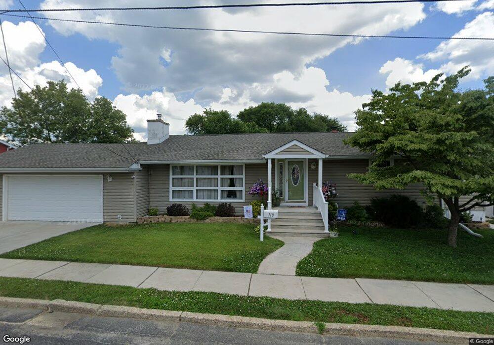
118 Yale Ave Gloucester City, NJ 08030
Estimated Value: $317,000 - $341,000
--
Bed
--
Bath
1,518
Sq Ft
$219/Sq Ft
Est. Value
About This Home
This home is located at 118 Yale Ave, Gloucester City, NJ 08030 and is currently estimated at $331,820, approximately $218 per square foot. 118 Yale Ave is a home located in Camden County with nearby schools including Cold Springs School, Gloucester City Middle School, and Gloucester City Junior/Senior High School.
Ownership History
Date
Name
Owned For
Owner Type
Purchase Details
Closed on
Jul 31, 2003
Sold by
Agin Richard J
Bought by
Meyer William
Current Estimated Value
Home Financials for this Owner
Home Financials are based on the most recent Mortgage that was taken out on this home.
Original Mortgage
$80,000
Outstanding Balance
$36,252
Interest Rate
6.02%
Estimated Equity
$295,568
Create a Home Valuation Report for This Property
The Home Valuation Report is an in-depth analysis detailing your home's value as well as a comparison with similar homes in the area
Home Values in the Area
Average Home Value in this Area
Purchase History
| Date | Buyer | Sale Price | Title Company |
|---|---|---|---|
| Meyer William | $90,000 | -- |
Source: Public Records
Mortgage History
| Date | Status | Borrower | Loan Amount |
|---|---|---|---|
| Open | Meyer William | $80,000 |
Source: Public Records
Tax History Compared to Growth
Tax History
| Year | Tax Paid | Tax Assessment Tax Assessment Total Assessment is a certain percentage of the fair market value that is determined by local assessors to be the total taxable value of land and additions on the property. | Land | Improvement |
|---|---|---|---|---|
| 2025 | $8,703 | $173,600 | $42,800 | $130,800 |
| 2024 | $8,687 | $173,600 | $42,800 | $130,800 |
| 2023 | $8,687 | $173,600 | $42,800 | $130,800 |
| 2022 | $8,168 | $173,600 | $42,800 | $130,800 |
| 2021 | $8,086 | $173,600 | $42,800 | $130,800 |
| 2020 | $7,809 | $173,600 | $42,800 | $130,800 |
| 2019 | $7,649 | $173,600 | $42,800 | $130,800 |
| 2018 | $7,500 | $173,600 | $42,800 | $130,800 |
| 2017 | $7,345 | $173,600 | $42,800 | $130,800 |
| 2016 | $7,067 | $173,600 | $42,800 | $130,800 |
| 2015 | $6,364 | $173,600 | $42,800 | $130,800 |
| 2014 | $6,253 | $119,200 | $32,300 | $86,900 |
Source: Public Records
Map
Nearby Homes
- 1090 S Merrimac Rd
- 309 Nicholson Rd
- 1300 S Merrimac Rd
- 1072 S Merrimac Rd
- 1261 S Merrimac Rd
- 1316 S Merrimac Rd
- 322 Nicholson Rd
- 3079 Alabama Rd
- 3156 Alabama Rd
- 3204 Alabama Rd
- 1065 Ironside Rd
- 3120 S Constitution Rd
- 1029 Ironside Rd
- 1020 Niagara Rd
- 3044 N Merrimac Rd
- 213 Nicholson Rd
- 3044 Fenwick Rd
- 1333 Argus Rd
- 3069 S Congress Rd
- 1433 N Chesapeake Rd