1180 Forrest Hills Dr Bogart, GA 30622
Jennings Mill NeighborhoodEstimated Value: $701,937 - $860,000
4
Beds
4
Baths
3,148
Sq Ft
$248/Sq Ft
Est. Value
About This Home
This home is located at 1180 Forrest Hills Dr, Bogart, GA 30622 and is currently estimated at $780,984, approximately $248 per square foot. 1180 Forrest Hills Dr is a home located in Oconee County with nearby schools including Malcom Bridge Elementary School, Malcom Bridge Middle School, and North Oconee High School.
Ownership History
Date
Name
Owned For
Owner Type
Purchase Details
Closed on
Feb 11, 2019
Sold by
Hardigree William B
Bought by
Hardigree William B and Hardigree Marti Lee
Current Estimated Value
Home Financials for this Owner
Home Financials are based on the most recent Mortgage that was taken out on this home.
Original Mortgage
$287,500
Outstanding Balance
$252,249
Interest Rate
4.4%
Mortgage Type
New Conventional
Estimated Equity
$528,735
Purchase Details
Closed on
Dec 3, 2013
Sold by
Veal David E
Bought by
Hardigree William B
Home Financials for this Owner
Home Financials are based on the most recent Mortgage that was taken out on this home.
Original Mortgage
$303,403
Interest Rate
4.19%
Mortgage Type
FHA
Create a Home Valuation Report for This Property
The Home Valuation Report is an in-depth analysis detailing your home's value as well as a comparison with similar homes in the area
Home Values in the Area
Average Home Value in this Area
Purchase History
| Date | Buyer | Sale Price | Title Company |
|---|---|---|---|
| Hardigree William B | -- | -- | |
| Hardigree William B | $309,000 | -- |
Source: Public Records
Mortgage History
| Date | Status | Borrower | Loan Amount |
|---|---|---|---|
| Open | Hardigree William B | $287,500 | |
| Previous Owner | Hardigree William B | $303,403 |
Source: Public Records
Tax History Compared to Growth
Tax History
| Year | Tax Paid | Tax Assessment Tax Assessment Total Assessment is a certain percentage of the fair market value that is determined by local assessors to be the total taxable value of land and additions on the property. | Land | Improvement |
|---|---|---|---|---|
| 2024 | $3,974 | $217,358 | $36,000 | $181,358 |
| 2023 | $4,024 | $201,946 | $30,000 | $171,946 |
| 2022 | $3,827 | $180,362 | $30,000 | $150,362 |
| 2021 | $3,800 | $166,140 | $30,000 | $136,140 |
| 2020 | $3,506 | $153,230 | $30,000 | $123,230 |
| 2019 | $3,267 | $142,908 | $30,000 | $112,908 |
| 2018 | $3,340 | $143,024 | $30,000 | $113,024 |
| 2017 | $3,265 | $139,838 | $30,000 | $109,838 |
| 2016 | $3,236 | $138,639 | $30,000 | $108,639 |
| 2015 | $3,240 | $138,519 | $30,000 | $108,519 |
| 2014 | $3,002 | $133,788 | $30,000 | $103,788 |
| 2013 | -- | $115,194 | $34,000 | $81,194 |
Source: Public Records
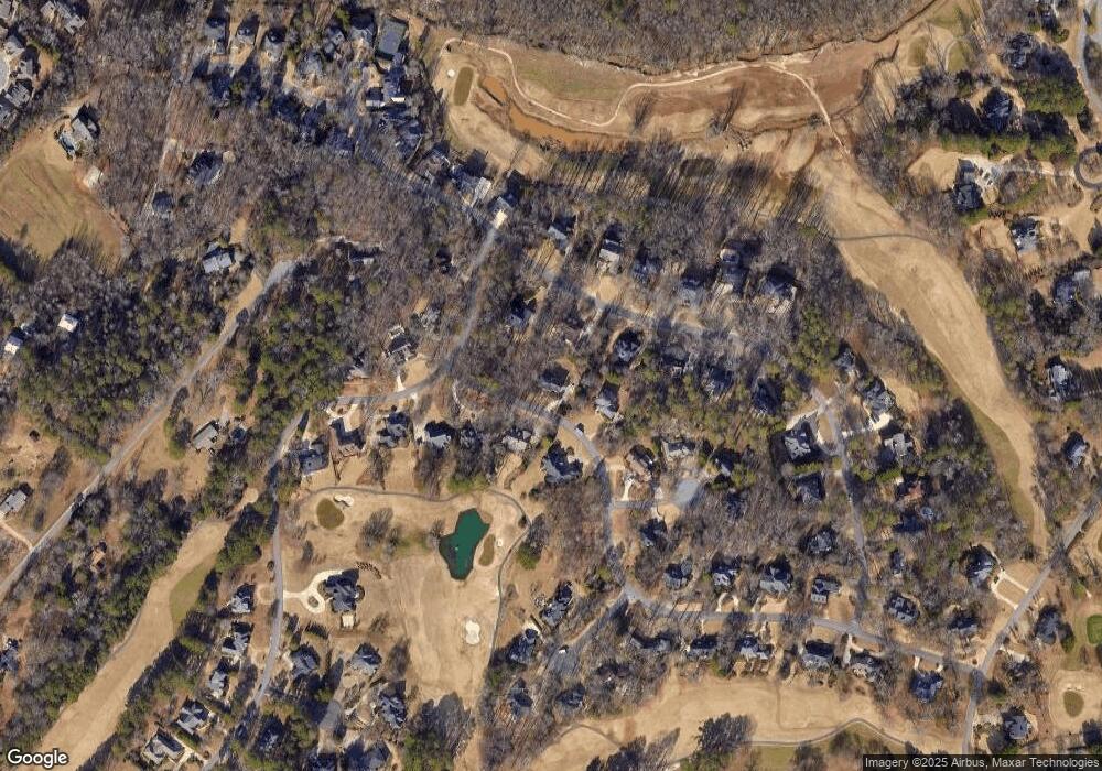
Map
Nearby Homes
- 1180 Forrest Hills Dr
- 1151 Ramser Dr
- 1160 Forrest Hills Dr
- 1160 Forest Hills Dr
- 1160 Forrest Hills Dr
- 1171 Ramser Dr
- 1181 Forrest Hills Dr
- 1131 Ramser Dr
- 1161 Forrest Hills Dr
- -- Ramser Dr
- 1080 Ramser Dr
- 0 Ramser Dr Unit 8824938
- 1191 Forrest Hills Dr
- 1191 Forrest Hills Dr
- 1121 Ramser Dr
- 1290 Millstone Run
- 1290 Millstone Run
- 1150 Ramser Dr
- 1021 Forrest Hills Cir