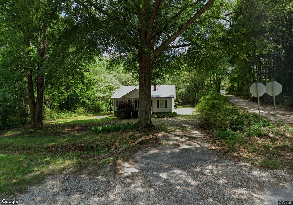
1180 Highway 123 Toccoa, GA 30577
Estimated Value: $160,000 - $298,000
3
Beds
2
Baths
1,216
Sq Ft
$174/Sq Ft
Est. Value
About This Home
This home is located at 1180 Highway 123, Toccoa, GA 30577 and is currently estimated at $212,105, approximately $174 per square foot. 1180 Highway 123 is a home located in Stephens County with nearby schools including Stephens County High School.
Ownership History
Date
Name
Owned For
Owner Type
Purchase Details
Closed on
Oct 31, 2003
Bought by
Arrowsmith Linda E
Current Estimated Value
Purchase Details
Closed on
Jun 30, 2003
Bought by
<Buyer Info Not Present>
Purchase Details
Closed on
Mar 23, 2000
Bought by
<Buyer Info Not Present>
Purchase Details
Closed on
Jun 1, 1999
Bought by
<Buyer Info Not Present>
Purchase Details
Closed on
May 1, 1992
Bought by
<Buyer Info Not Present>
Create a Home Valuation Report for This Property
The Home Valuation Report is an in-depth analysis detailing your home's value as well as a comparison with similar homes in the area
Home Values in the Area
Average Home Value in this Area
Purchase History
| Date | Buyer | Sale Price | Title Company |
|---|---|---|---|
| Arrowsmith Linda E | $70,000 | -- | |
| <Buyer Info Not Present> | -- | -- | |
| <Buyer Info Not Present> | $53,000 | -- | |
| <Buyer Info Not Present> | $26,000 | -- | |
| <Buyer Info Not Present> | $11,000 | -- |
Source: Public Records
Tax History Compared to Growth
Tax History
| Year | Tax Paid | Tax Assessment Tax Assessment Total Assessment is a certain percentage of the fair market value that is determined by local assessors to be the total taxable value of land and additions on the property. | Land | Improvement |
|---|---|---|---|---|
| 2024 | $802 | $32,369 | $3,926 | $28,443 |
| 2023 | $820 | $26,932 | $3,926 | $23,006 |
| 2022 | $766 | $25,720 | $3,926 | $21,794 |
| 2021 | $752 | $24,064 | $3,926 | $20,138 |
| 2020 | $750 | $23,753 | $3,926 | $19,827 |
| 2019 | $753 | $23,753 | $3,926 | $19,827 |
| 2018 | $669 | $21,100 | $3,926 | $17,174 |
| 2017 | $681 | $21,153 | $3,979 | $17,174 |
| 2016 | $671 | $21,152 | $3,979 | $17,173 |
| 2015 | $701 | $21,112 | $3,979 | $17,132 |
| 2014 | $711 | $21,059 | $3,979 | $17,080 |
| 2013 | -- | $21,059 | $3,979 | $17,080 |
Source: Public Records
Map
Nearby Homes
- 0 E Currahee St Unit 10544607
- 297 Ayers Creek Dr
- 327 Ayers Creek Dr
- 405 Ayers Creek Dr
- 110 Valley Rd
- 139 Myrtle St
- 148 Moreland Dr
- 0 Moreland Dr Unit 10565201
- 1222 E Tugalo St
- 249 Hillcrest Dr
- 668 Brookdale Rd
- 0 Hillendale Dr Unit 7660500
- 0 Hillendale Dr Unit 10618602
- 593 Cross Creek Dr
- 43 Mountain View Dr
- 45 Hayes St
- 0 Hwy 17 Alt Unit 10577119
- 171 Quail Forest Cir
- 73 Ridgeview Heights
- 1168 Rosedale St
- 0 E Currahee St Unit 20046572
- 0 E Currahee St Unit 7240075
- 0 E Currahee St Unit 8623851
- 0 E Currahee St Unit 7454106
- 1236 Highway 123
- 70 Vernon Rd
- 72 Vernon Rd
- 16 Crestwood Dr
- 69 Vernon Rd
- 243 Crestwood Dr
- 183 Crestwood Dr
- 224 Crestwood Dr
- 0 Crestwood Dr Unit 7145260
- 208 Crestwood Dr
- 173 Crestwood Dr
- 139 Fern Valley Cir
- 188 Crestwood Dr
- 127 Fern Valley Cir
- 1041 Highway 123
- 1590 Crestwood Dr