1180 Highway 50 Glenbrook, NV 89413
Estimated Value: $36,929,188
8
Beds
9
Baths
11,492
Sq Ft
$3,213/Sq Ft
Est. Value
About This Home
This home is located at 1180 Highway 50, Glenbrook, NV 89413 and is currently estimated at $36,929,188, approximately $3,213 per square foot. 1180 Highway 50 is a home located in Douglas County with nearby schools including Zephyr Cove Elementary School, George Whittell High School, and Douglas County High School.
Ownership History
Date
Name
Owned For
Owner Type
Purchase Details
Closed on
Jun 7, 2018
Sold by
Residential Property Investments Llc
Bought by
Ft Properties Llc
Current Estimated Value
Purchase Details
Closed on
Jul 10, 2014
Sold by
Tahoe Estates Llc
Bought by
Residential Property Investment Llc
Purchase Details
Closed on
Aug 2, 2006
Sold by
Mitchell Mark P
Bought by
Tahoe Estates Llc
Create a Home Valuation Report for This Property
The Home Valuation Report is an in-depth analysis detailing your home's value as well as a comparison with similar homes in the area
Home Values in the Area
Average Home Value in this Area
Purchase History
| Date | Buyer | Sale Price | Title Company |
|---|---|---|---|
| Ft Properties Llc | $23,500,000 | First American Title Reno | |
| Residential Property Investment Llc | $20,350,000 | First American Title Reno | |
| Tahoe Estates Llc | $11,700,000 | First American Title Company |
Source: Public Records
Tax History Compared to Growth
Tax History
| Year | Tax Paid | Tax Assessment Tax Assessment Total Assessment is a certain percentage of the fair market value that is determined by local assessors to be the total taxable value of land and additions on the property. | Land | Improvement |
|---|---|---|---|---|
| 2025 | $61,760 | $4,056,620 | $1,680,000 | $2,376,620 |
| 2024 | $61,760 | $3,631,269 | $1,645,000 | $1,986,269 |
| 2023 | $60,551 | $3,485,369 | $1,645,000 | $1,840,369 |
| 2022 | $58,111 | $3,213,469 | $1,496,250 | $1,717,219 |
| 2021 | $56,399 | $3,081,915 | $1,443,750 | $1,638,165 |
| 2020 | $54,784 | $3,050,477 | $1,443,750 | $1,606,727 |
| 2019 | $53,117 | $2,818,558 | $1,323,000 | $1,495,558 |
| 2018 | $51,602 | $2,800,536 | $1,260,000 | $1,540,536 |
| 2017 | $49,570 | $2,782,307 | $1,260,000 | $1,522,307 |
| 2016 | $48,365 | $2,606,150 | $1,050,000 | $1,556,150 |
| 2015 | $48,166 | $2,606,150 | $1,050,000 | $1,556,150 |
| 2014 | $46,383 | $1,769,490 | $980,000 | $789,490 |
Source: Public Records
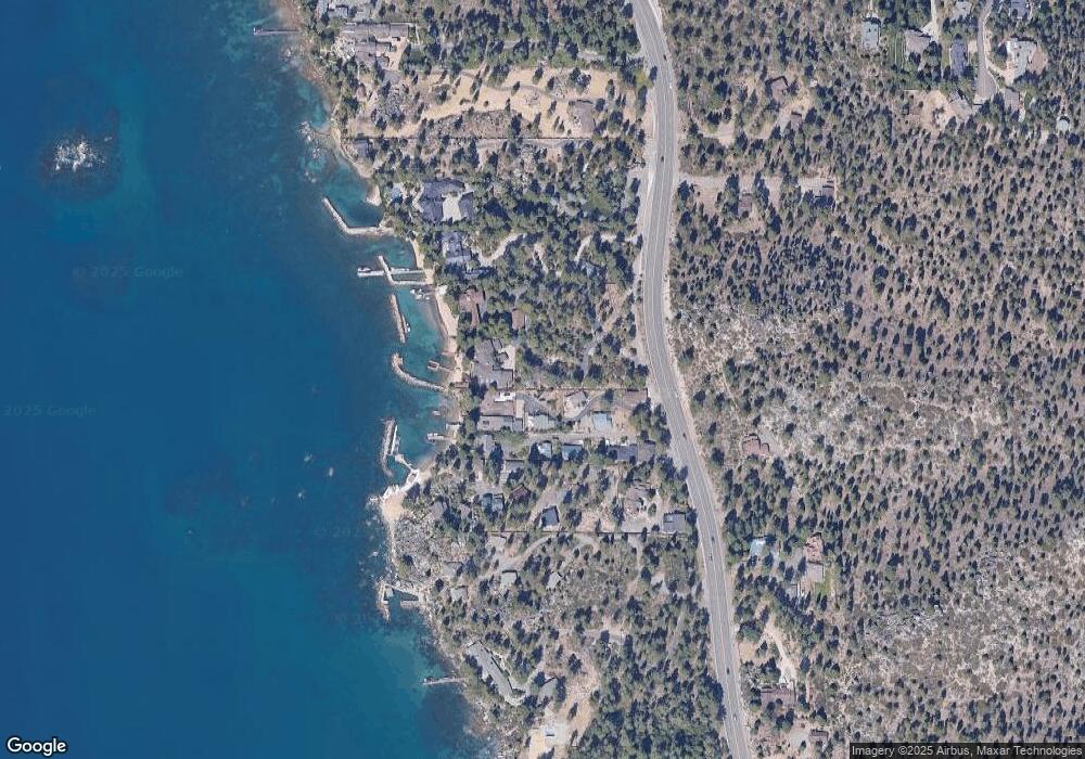
Map
Nearby Homes
- 1146 Highway 50
- 1227 Highway 50
- 261 Eagle Ln
- 213 Cedar Ridge
- 207 Cedar Ridge Dr
- 174 Myron Dr
- 228 Bedell Ave
- 1300 Cave Rock Dr
- 1310 Cave Rock Dr Unit A
- 1337 Winding Way
- 1348 Winding Way
- 275 Chukkar Dr
- 1374 Winding Way
- 1458 Pittman Terrace
- 1472 Flowers Ave
- 733 Lakeview Dr
- 670 Riven Rock Rd
- 664 Lookout Rd
- 227 S Martin Dr
- 225 S Martin Dr
- 1180 Highway 50 Unit "ClearWater Lodge"
- 1180 Us Highway 50
- 1180 Us Highway 50 Unit 172 & 174 Snug Harbo
- 1180 Us Highway 50 Unit 172/174 Sung Harbor
- 172 Snug Harbor Dr
- 1182 Us Highway 50 Unit 2
- 173 Snug Harbor Rd
- 176 Snug Harbor Rd
- 172 Snug Harbor Rd
- 175 Snug Harbor Rd
- 173 Snug Harbor Dr
- 175 Mason Ct
- 1186 Us Highway 50
- 177 Snug Harbor Rd
- 171 Mason Ct
- 1168 Us Highway 50
- 1192 Us-50
- 1192 Hwy 50
- 1192 U S 50
- 179 Mason Ct