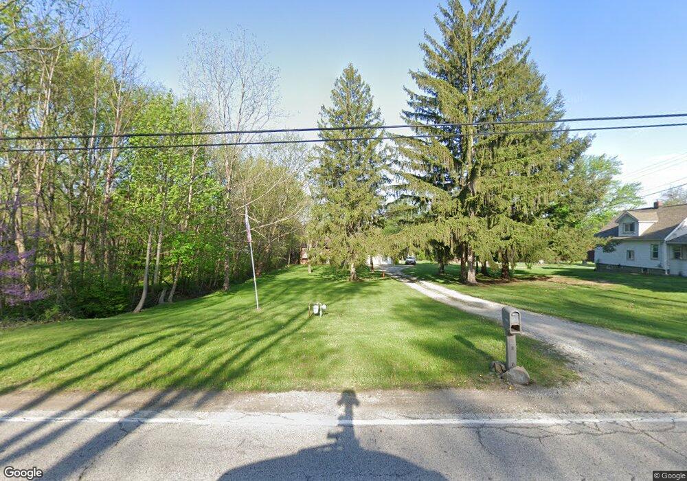
1180 S Munroe Rd Tallmadge, OH 44278
Estimated Value: $269,000 - $403,776
4
Beds
3
Baths
1,584
Sq Ft
$207/Sq Ft
Est. Value
About This Home
This home is located at 1180 S Munroe Rd, Tallmadge, OH 44278 and is currently estimated at $327,944, approximately $207 per square foot. 1180 S Munroe Rd is a home located in Summit County with nearby schools including Tallmadge Middle School, Tallmadge High School, and Summit Academy Akron Elementary School.
Ownership History
Date
Name
Owned For
Owner Type
Purchase Details
Closed on
Jun 25, 2002
Sold by
Micochero Anthony and Micochero Lou A
Bought by
Monroe Walter R and Monroe Jodi M
Current Estimated Value
Home Financials for this Owner
Home Financials are based on the most recent Mortgage that was taken out on this home.
Original Mortgage
$157,500
Outstanding Balance
$58,625
Interest Rate
5%
Estimated Equity
$269,319
Purchase Details
Closed on
Feb 4, 2002
Sold by
Barry Jeffery T and Barry Jeff
Bought by
Monroe Walter R and Monroe Jodi M
Home Financials for this Owner
Home Financials are based on the most recent Mortgage that was taken out on this home.
Original Mortgage
$134,400
Interest Rate
7.26%
Create a Home Valuation Report for This Property
The Home Valuation Report is an in-depth analysis detailing your home's value as well as a comparison with similar homes in the area
Home Values in the Area
Average Home Value in this Area
Purchase History
| Date | Buyer | Sale Price | Title Company |
|---|---|---|---|
| Monroe Walter R | -- | Americas Choice Title Agency | |
| Monroe Walter R | $168,000 | Miller Examining Service Inc |
Source: Public Records
Mortgage History
| Date | Status | Borrower | Loan Amount |
|---|---|---|---|
| Open | Monroe Walter R | $157,500 | |
| Previous Owner | Monroe Walter R | $134,400 |
Source: Public Records
Tax History Compared to Growth
Tax History
| Year | Tax Paid | Tax Assessment Tax Assessment Total Assessment is a certain percentage of the fair market value that is determined by local assessors to be the total taxable value of land and additions on the property. | Land | Improvement |
|---|---|---|---|---|
| 2025 | $4,572 | $75,345 | $19,544 | $55,801 |
| 2024 | $4,572 | $75,345 | $19,544 | $55,801 |
| 2023 | $4,572 | $75,345 | $19,544 | $55,801 |
| 2022 | $4,133 | $54,426 | $13,668 | $40,758 |
| 2021 | $3,414 | $54,426 | $13,668 | $40,758 |
| 2020 | $4,123 | $54,430 | $13,670 | $40,760 |
| 2019 | $4,206 | $49,870 | $13,670 | $36,200 |
| 2018 | $3,803 | $49,870 | $13,670 | $36,200 |
| 2017 | $3,638 | $49,870 | $13,670 | $36,200 |
| 2016 | $3,783 | $45,500 | $13,670 | $31,830 |
| 2015 | $3,638 | $45,500 | $13,670 | $31,830 |
| 2014 | $3,626 | $45,500 | $13,670 | $31,830 |
| 2013 | $3,855 | $50,210 | $13,670 | $36,540 |
Source: Public Records
Map
Nearby Homes
- 1165 Broadview Rd
- 750 Danner Rd
- 459 Alaho St
- 685 Beechview Dr
- 1034 Southeast Ave
- 128 Byatt Rd
- 280 Woodside Ln
- 179 Davenport Ave
- 6 Kreiner Ave
- 5 Kreiner Ave
- 0 Gilchrist Rd
- 2863 Burnside St
- 505 Moody St
- 2360 Newton St
- 2356 Newton St
- 2352 Newton St
- 47 Kreiner Ave
- 689 Alaho St
- V/L Southeast Ave
- 187 Oakview Cir
- 1172 S Munroe Rd
- 1198 S Munroe Rd
- 1160 S Munroe Rd
- 1212 S Munroe Rd
- 1150 S Munroe Rd
- 1193 S Munroe Rd
- 1171 S Munroe Rd
- 1144 S Munroe Rd
- 1179 S Munroe Rd
- 1224 S Munroe Rd
- 1199 S Munroe Rd
- 1153 S Munroe Rd
- 1234 S Munroe Rd
- 1283 Woods Dr
- 1134 S Munroe Rd
- 1149 S Munroe Rd
- 1231 S Munroe Rd
- 1143 S Munroe Rd
- 1124 S Munroe Rd
- 1175 S Munroe Rd