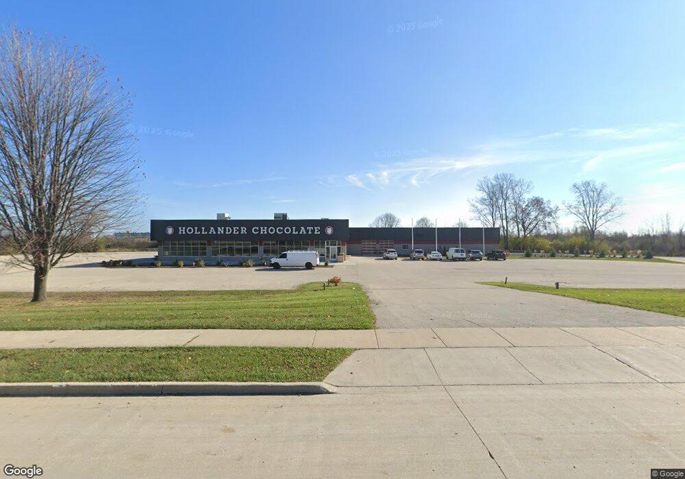
1180 S Spring St Port Washington, WI 53074
Estimated Value: $1,214,126
--
Bed
--
Bath
24,450
Sq Ft
$50/Sq Ft
Est. Value
About This Home
This home is located at 1180 S Spring St, Port Washington, WI 53074 and is currently estimated at $1,214,126, approximately $49 per square foot. 1180 S Spring St is a home located in Ozaukee County with nearby schools including Dunwiddie Elementary School, Thomas Jefferson Middle School, and Port Washington High School.
Ownership History
Date
Name
Owned For
Owner Type
Purchase Details
Closed on
Jul 6, 2023
Sold by
Podzilni Douglas
Bought by
Podzilni-Schmitz Holdings Llc
Current Estimated Value
Purchase Details
Closed on
Jul 22, 2022
Sold by
Eral Port Llc
Bought by
Gourmet Source Llc
Purchase Details
Closed on
Sep 26, 2005
Sold by
Boucher Holdings Llc
Bought by
Eral Port Llc
Home Financials for this Owner
Home Financials are based on the most recent Mortgage that was taken out on this home.
Original Mortgage
$2,000,000
Interest Rate
5.83%
Mortgage Type
Future Advance Clause Open End Mortgage
Create a Home Valuation Report for This Property
The Home Valuation Report is an in-depth analysis detailing your home's value as well as a comparison with similar homes in the area
Home Values in the Area
Average Home Value in this Area
Purchase History
| Date | Buyer | Sale Price | Title Company |
|---|---|---|---|
| Podzilni-Schmitz Holdings Llc | $1,492,800 | Kirsten Hildebrand | |
| Podzilni Douglas | $1,492,800 | Kirsten Hildebrand | |
| Gourmet Source Llc | $950,000 | Michael Best & Friedrich Llp | |
| Eral Port Llc | $1,500,000 | None Available |
Source: Public Records
Mortgage History
| Date | Status | Borrower | Loan Amount |
|---|---|---|---|
| Previous Owner | Eral Port Llc | $2,000,000 |
Source: Public Records
Tax History Compared to Growth
Tax History
| Year | Tax Paid | Tax Assessment Tax Assessment Total Assessment is a certain percentage of the fair market value that is determined by local assessors to be the total taxable value of land and additions on the property. | Land | Improvement |
|---|---|---|---|---|
| 2024 | $24,702 | $1,492,800 | $550,400 | $942,400 |
| 2023 | $22,357 | $1,492,800 | $550,400 | $942,400 |
| 2022 | $22,563 | $1,492,800 | $550,400 | $942,400 |
| 2021 | $22,228 | $1,492,800 | $550,400 | $942,400 |
| 2020 | $24,291 | $1,271,800 | $515,400 | $756,400 |
| 2019 | $24,995 | $1,271,800 | $515,400 | $756,400 |
| 2018 | $24,169 | $1,271,800 | $515,400 | $756,400 |
| 2017 | $23,617 | $1,271,800 | $515,400 | $756,400 |
| 2016 | $23,721 | $1,271,800 | $515,400 | $756,400 |
| 2015 | $23,222 | $1,271,800 | $515,400 | $756,400 |
| 2014 | -- | $1,271,800 | $515,400 | $756,400 |
| 2013 | $23,209 | $1,271,800 | $515,400 | $756,400 |
Source: Public Records
Map
Nearby Homes
- 1000 S Spring St
- 732 Maritime Dr
- 715 Maritime Dr
- 716 Maritime Dr
- 717 Maritime Dr
- 730 Maritime Dr
- 733 Maritime Dr
- 736 Maritime Dr
- 924 Westport Dr
- 723 Willow Ct
- Lt2 Woodridge Ln
- 1579 Woodridge Ln
- 498 Bastle Wynd - Unit 10
- 496 Bastle Wynd - Unit 9
- 675 Amber Ln
- 125 S Summit Dr
- 1202 Shieling Ln
- 1200 Shieling Ln
- 1194 Shieling Ln
- The Wingra Plan at Highland Pointe
- 1915 Sunset Rd
- 1861 Sunset Rd
- 1931 Sunset Rd Unit 3
- 1927 Sunset Rd
- 1921 Sunset Rd
- 1943 Sunset Rd
- 1038 S Spring St Unit 1042
- 2598 State Road 32
- 2623 Sunset Rd
- Lt3 Sunset Rd
- 2645 Sunset Rd
- 43AC Sunset Rd
- 1371 Maple Ct
- 1010 Sunset Rd
- 1010 Sunset Rd Unit 1010
- 732 Maritime Dr Unit 1
- 1377 Maple Ct
- 1365 Maple Ct
- 1084 Westport Dr
- 1403 Maple Ct