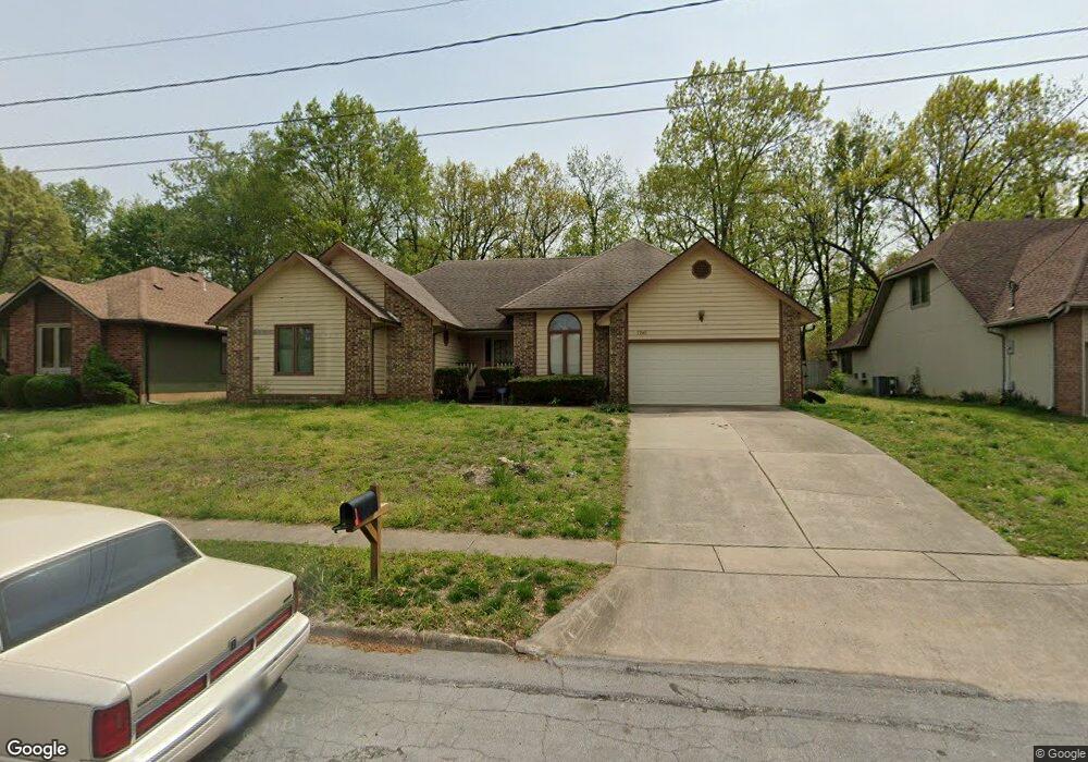
1180 W Burntwood St Springfield, MO 65803
Estimated Value: $266,311 - $335,000
3
Beds
2
Baths
1,938
Sq Ft
$151/Sq Ft
Est. Value
About This Home
This home is located at 1180 W Burntwood St, Springfield, MO 65803 and is currently estimated at $293,328, approximately $151 per square foot. 1180 W Burntwood St is a home located in Greene County with nearby schools including Truman Elementary School, Pleasant View Elementary School, and Pleasant View K-8 School.
Ownership History
Date
Name
Owned For
Owner Type
Purchase Details
Closed on
Jan 22, 2024
Sold by
Gladys Anna Bliss Living Trust
Bought by
Carder Heritage I Map Trust and Carder
Current Estimated Value
Purchase Details
Closed on
Apr 2, 2019
Sold by
Bliss Gladys A
Bought by
Gladys Anna Bliss Revocable Living Trust
Create a Home Valuation Report for This Property
The Home Valuation Report is an in-depth analysis detailing your home's value as well as a comparison with similar homes in the area
Home Values in the Area
Average Home Value in this Area
Purchase History
| Date | Buyer | Sale Price | Title Company |
|---|---|---|---|
| Carder Heritage I Map Trust | -- | None Listed On Document | |
| Gladys Anna Bliss Revocable Living Trust | -- | None Available |
Source: Public Records
Tax History Compared to Growth
Tax History
| Year | Tax Paid | Tax Assessment Tax Assessment Total Assessment is a certain percentage of the fair market value that is determined by local assessors to be the total taxable value of land and additions on the property. | Land | Improvement |
|---|---|---|---|---|
| 2025 | $1,377 | $28,600 | $6,650 | $21,950 |
| 2024 | $1,377 | $23,790 | $2,850 | $20,940 |
| 2023 | $1,370 | $23,790 | $2,850 | $20,940 |
| 2022 | $1,276 | $21,720 | $2,850 | $18,870 |
| 2021 | $1,221 | $21,720 | $2,850 | $18,870 |
| 2020 | $1,256 | $21,220 | $2,850 | $18,370 |
| 2019 | $1,221 | $21,220 | $2,850 | $18,370 |
| 2018 | $1,311 | $22,670 | $4,370 | $18,300 |
| 2017 | $1,299 | $21,450 | $4,370 | $17,080 |
| 2016 | $1,227 | $21,450 | $4,370 | $17,080 |
| 2015 | $1,218 | $21,450 | $4,370 | $17,080 |
| 2014 | $1,225 | $21,450 | $4,370 | $17,080 |
Source: Public Records
Map
Nearby Homes
- 3877 N Daniels Ct
- 1158 W Bradley St
- 3879 N Williams Ct
- 3616 N Temple Ave
- 845 W Farm Road 96
- 3740 N Oak Point Ave
- 3645 N Oak Point Ave
- 3582 N Thistlewood Ct
- 1032 W Windy Ridge Ln
- 3486 N Farm Road 143
- 611 W Bridgewood Ct
- 3548 N Lexington Ave
- 1632 N Grant Ave
- 3764 N Huntington Ave
- 252 E Saddle Ln
- 3622 N Huntington Ave
- 337 E Farm Road 96
- 1933 W McClernon St
- 1.16 Acres W Norton Rd
- 213 W Mazzy Dr
- 1168 W Burntwood St
- 1202 W Burntwood St
- 3830 N Daniels Place
- 3864 N Daniels Ct
- 1146 W Burntwood St
- 3899 N Daniels Ct
- 0 N Marion Unit 10821564
- 0 N Marion Unit 10821568
- 0 N Marion Unit 10821569
- 0 N Marion Unit 10821851
- 0 N Marion Unit 10803573
- 0 N Marion Unit 10803578
- 0 N Marion Unit 10803574
- 0 N Marion Unit 10803577
- 0 N Marion Unit 10803575
- 3835 N Daniels Place
- 3770 N Daniels Place
- 3865 N Daniels Ct
- 3835 N Pauls Place
- 3865 N Franklin Ave