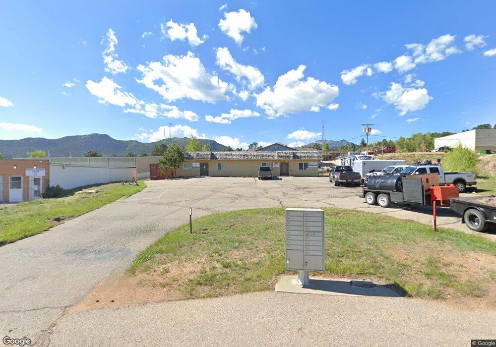
1180 Woodstock Dr Estes Park, CO 80517
Estimated Value: $713,340
--
Bed
--
Bath
3,200
Sq Ft
$223/Sq Ft
Est. Value
About This Home
This home is located at 1180 Woodstock Dr, Estes Park, CO 80517 and is currently estimated at $713,340, approximately $222 per square foot. 1180 Woodstock Dr is a home located in Larimer County with nearby schools including Estes Park K-5 School, Estes Park Options School, and Estes Park Middle School.
Ownership History
Date
Name
Owned For
Owner Type
Purchase Details
Closed on
Aug 16, 2019
Sold by
Rachelle R Repine Trust
Bought by
Town Of Estes Park
Current Estimated Value
Purchase Details
Closed on
Nov 27, 2007
Sold by
Repine Mark J and Repine Rachelle R
Bought by
Rachelle R Repine Trust
Purchase Details
Closed on
Aug 30, 2006
Sold by
Joann P Mcgill Trust
Bought by
Repine Mark J and Repine Rachelle R
Purchase Details
Closed on
Jul 12, 2005
Sold by
Mcgill Jo Ann P
Bought by
The Joann P Mcgill Trust
Purchase Details
Closed on
May 13, 2003
Sold by
Mcgill Alan P and Mcgill Jo Ann P
Bought by
Mcgill Jo Ann P
Create a Home Valuation Report for This Property
The Home Valuation Report is an in-depth analysis detailing your home's value as well as a comparison with similar homes in the area
Home Values in the Area
Average Home Value in this Area
Purchase History
| Date | Buyer | Sale Price | Title Company |
|---|---|---|---|
| Town Of Estes Park | $500,000 | Ascent Escrow & Title | |
| Rachelle R Repine Trust | -- | None Available | |
| Repine Mark J | $450,000 | None Available | |
| The Joann P Mcgill Trust | -- | -- | |
| Mcgill Jo Ann P | -- | -- |
Source: Public Records
Tax History Compared to Growth
Tax History
| Year | Tax Paid | Tax Assessment Tax Assessment Total Assessment is a certain percentage of the fair market value that is determined by local assessors to be the total taxable value of land and additions on the property. | Land | Improvement |
|---|---|---|---|---|
| 2025 | -- | $203,863 | $58,699 | $145,164 |
| 2024 | -- | $203,863 | $58,699 | $145,164 |
| 2022 | -- | $139,200 | $36,250 | $102,950 |
| 2021 | $10,609 | $139,200 | $36,250 | $102,950 |
| 2020 | $8,336 | $107,996 | $18,299 | $89,697 |
| 2019 | $5,155 | $107,982 | $18,285 | $89,697 |
Source: Public Records
Map
Nearby Homes
- TBD Stanley Ave
- 635 Community Dr
- 704 Birdie Ln Unit 17
- 734 Birdie Ln Unit 15
- 1422 Matthew Cir Unit 2
- 659 Morgan St
- 1443 Matthew Cir Unit L3
- 261 South Ct
- 654 Morgan St
- 850 Shady Ln
- 910 Shady Ln
- 219 3rd St
- 603 Aspen Ave Unit B4
- 603 Aspen Ave Unit C1
- 517 Birch Ave
- 1013 Lexington Ln
- 435 Columbine Ave
- 1050 S Saint Vrain Ave Unit 1
- 1026 Lexington Ln
- 1059 Lexington Ln
- 1209 Graves Ave
- 1205 Graves Ave Unit 1205-1207
- 1205 Graves Ave
- 540 S Saint Vrain Ave
- 1191 Woodstock Dr
- 1160 Woodstock Dr
- 1200 Graves Ave
- 1180 Graves Ave Unit A-6 or A-7
- 600 S Saint Vrain Ave Unit 2
- 600 S Saint Vrain Ave Unit 1
- 600 S Saint Vrain Ave Unit 4
- 1224 Graves Ave Unit A12
- 1224 Graves Ave Unit A11
- 1224 Graves Ave Unit A10
- 1224 Graves Ave Unit A9
- 1224 Graves Ave Unit A8
- 1224 Graves Ave Unit A7
- 1224 Graves Ave Unit A6
- 1224 Graves Ave Unit A5
- 1224 Graves Ave Unit A4