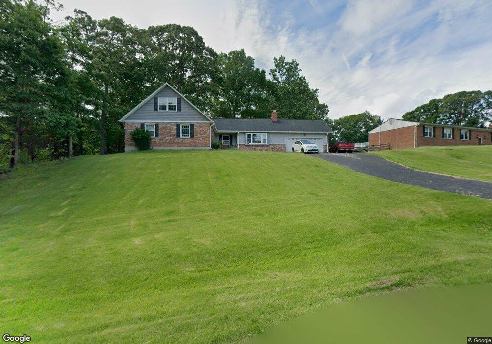
11800 Rivershore Dr Dunkirk, MD 20754
Estimated Value: $514,357 - $683,000
Studio
4
Baths
2,240
Sq Ft
$256/Sq Ft
Est. Value
About This Home
This home is located at 11800 Rivershore Dr, Dunkirk, MD 20754 and is currently estimated at $573,839, approximately $256 per square foot. 11800 Rivershore Dr is a home located in Calvert County with nearby schools including Mount Harmony Elementary School, Northern Middle School, and Northern High School.
Ownership History
Date
Name
Owned For
Owner Type
Purchase Details
Closed on
Sep 24, 2014
Sold by
Odom Patrick Wayne
Bought by
Odom Patrick W and Odom Katherine
Current Estimated Value
Home Financials for this Owner
Home Financials are based on the most recent Mortgage that was taken out on this home.
Original Mortgage
$212,000
Interest Rate
4.1%
Mortgage Type
New Conventional
Purchase Details
Closed on
Nov 26, 2013
Sold by
Davis Beverly J and Estate Of Mary Louise Odom
Bought by
Odom Patrick Wayne
Create a Home Valuation Report for This Property
The Home Valuation Report is an in-depth analysis detailing your home's value as well as a comparison with similar homes in the area
Home Values in the Area
Average Home Value in this Area
Purchase History
We collect this data history from publicly available records. To have your information removed, we recommend requesting removal directly through your county’s website.
| Date | Buyer | Sale Price | Title Company |
|---|---|---|---|
| Odom Patrick W | -- | None Available | |
| Odom Patrick Wayne | -- | None Available |
Source: Public Records
Mortgage History
We collect this data history from publicly available records. To have your information removed, we recommend requesting removal directly through your county’s website.
| Date | Status | Borrower | Loan Amount |
|---|---|---|---|
| Closed | Odom Patrick W | $212,000 |
Source: Public Records
Tax History
| Year | Tax Paid | Tax Assessment Tax Assessment Total Assessment is a certain percentage of the fair market value that is determined by local assessors to be the total taxable value of land and additions on the property. | Land | Improvement |
|---|---|---|---|---|
| 2025 | $4,754 | $425,600 | $170,800 | $254,800 |
| 2024 | $4,555 | $407,600 | $0 | $0 |
| 2023 | $4,202 | $389,600 | $0 | $0 |
| 2022 | $4,012 | $371,600 | $170,800 | $200,800 |
| 2021 | $3,828 | $362,167 | $0 | $0 |
| 2020 | $3,828 | $352,733 | $0 | $0 |
| 2019 | $3,743 | $343,300 | $170,800 | $172,500 |
| 2018 | $3,730 | $343,300 | $170,800 | $172,500 |
| 2017 | $3,779 | $343,300 | $0 | $0 |
| 2016 | -- | $347,100 | $0 | $0 |
| 2015 | $4,823 | $347,100 | $0 | $0 |
| 2014 | $4,823 | $347,100 | $0 | $0 |
Source: Public Records
Map
Nearby Homes
- 3901 Lakeside Ct
- 10401 Three Doctors Rd
- 4111 Buck Board Ln
- 11871 Lexington Dr
- 12124 Palisades Dr
- 10241 Three Doctors Rd
- 3740 Larkview Ct
- 4020 Chaney Cove Ct
- 11820 Cedarwood Dr
- 3321 Smithville Dr
- 3050 Hickory Ridge Rd
- 11223 Country Rd
- 6380 Mallard Ln
- 2950 Chaney Rd
- 249 Jaguar Dr
- 65 Cob Ct
- 12675 Perrywood Ln
- 0 Fenno Rd
- 9914 Mcintosh Dr
- 12441 Uncle Charlies Spur
- 11801 Rivershore Dr
- 4102 Shoreside Place
- 11804 Rivershore Dr
- 11805 Rivershore Dr
- 4001 Mariner Ct
- 11803 Rivershore Dr
- 4003 Mariner Ct
- 4004 Mariner Ct
- 11807 Rivershore Dr
- 11620 Rivershore Dr
- 11618 Rivershore Dr
- 11616 Rivershore Dr
- 11714 Rivershore Dr
- 11717 Rivershore Dr
- 4007 Aqua Ct
- 4103 Shoreside Place
- 11622 Rivershore Dr
- 11614 Rivershore Dr
- 11624 Rivershore Dr
- 4101 Shoreside Place
Your Personal Tour Guide
Ask me questions while you tour the home.