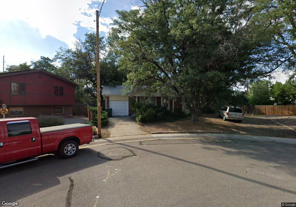
11801 McCrumb Dr Northglenn, CO 80233
Estimated Value: $355,569 - $471,000
2
Beds
2
Baths
850
Sq Ft
$514/Sq Ft
Est. Value
About This Home
This home is located at 11801 McCrumb Dr, Northglenn, CO 80233 and is currently estimated at $437,142, approximately $514 per square foot. 11801 McCrumb Dr is a home located in Adams County with nearby schools including Malley Drive Elementary School, Northglenn Middle School, and Mountain Range High School.
Ownership History
Date
Name
Owned For
Owner Type
Purchase Details
Closed on
Aug 28, 2007
Sold by
Todero Salvatore and Mascarenas Frances
Bought by
Todero Salvatore
Current Estimated Value
Home Financials for this Owner
Home Financials are based on the most recent Mortgage that was taken out on this home.
Original Mortgage
$123,700
Interest Rate
6.63%
Mortgage Type
Credit Line Revolving
Create a Home Valuation Report for This Property
The Home Valuation Report is an in-depth analysis detailing your home's value as well as a comparison with similar homes in the area
Home Values in the Area
Average Home Value in this Area
Purchase History
| Date | Buyer | Sale Price | Title Company |
|---|---|---|---|
| Todero Salvatore | -- | Fidelity National Title Insu |
Source: Public Records
Mortgage History
| Date | Status | Borrower | Loan Amount |
|---|---|---|---|
| Closed | Todero Salvatore | $123,700 |
Source: Public Records
Tax History Compared to Growth
Tax History
| Year | Tax Paid | Tax Assessment Tax Assessment Total Assessment is a certain percentage of the fair market value that is determined by local assessors to be the total taxable value of land and additions on the property. | Land | Improvement |
|---|---|---|---|---|
| 2024 | $2,205 | $25,440 | $5,750 | $19,690 |
| 2023 | $2,185 | $28,950 | $5,610 | $23,340 |
| 2022 | $3,134 | $24,040 | $5,770 | $18,270 |
| 2021 | $3,134 | $24,040 | $5,770 | $18,270 |
| 2020 | $2,910 | $22,780 | $5,930 | $16,850 |
| 2019 | $2,912 | $22,780 | $5,930 | $16,850 |
| 2018 | $2,287 | $17,430 | $5,400 | $12,030 |
| 2017 | $2,104 | $17,430 | $5,400 | $12,030 |
| 2016 | $1,650 | $13,340 | $3,020 | $10,320 |
| 2015 | $1,646 | $13,340 | $3,020 | $10,320 |
| 2014 | -- | $11,520 | $2,390 | $9,130 |
Source: Public Records
Map
Nearby Homes
- 11840 Clarkson Ct
- 11723 Quam Dr
- 11718 Keough Dr
- 11816 Spring Dr
- 860 Dean Dr
- 1081 E 119th Place
- 11681 Logan St
- 11855 Humboldt Dr
- 11502 Carlile St
- 11675 Fowler Dr
- 11882 Irma Dr
- 11932 Irma Dr
- 11815 High St
- 12261 Karl's Ln
- 1719 Zelda Ln
- 12314 Hayloft Ln
- 1731 E 114th Place
- 12364 Irma Dr
- 11923 Claude Way
- 12201 Race St
- 11811 McCrumb Dr
- 11850 Clarkson Ct
- 11802 McCrumb Dr
- 11830 Clarkson Ct
- 11840 Sylvia Dr
- 11850 Sylvia Dr
- 11821 McCrumb Dr
- 11860 Clarkson Ct
- 11812 McCrumb Dr
- 11860 Sylvia Dr
- 11820 Clarkson Ct
- 11822 McCrumb Dr
- 11831 McCrumb Dr
- 11753 Quam Dr
- 11743 Quam Dr
- 11832 McCrumb Dr
- 11849 Sylvia Dr
- 11763 Quam Dr
- 11870 Sylvia Dr
- 11859 Sylvia Dr