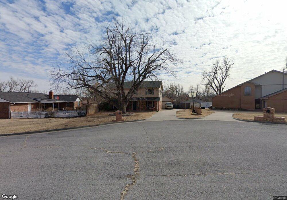
11804 Biggs Cir Yukon, OK 73099
Hollyrock-Silver Maple NeighborhoodEstimated Value: $222,000 - $252,359
4
Beds
3
Baths
2,078
Sq Ft
$116/Sq Ft
Est. Value
About This Home
This home is located at 11804 Biggs Cir, Yukon, OK 73099 and is currently estimated at $240,090, approximately $115 per square foot. 11804 Biggs Cir is a home located in Canadian County with nearby schools including Mustang Creek Elementary School, Meadow Brook Intermediate School, and Mustang Central Middle School.
Ownership History
Date
Name
Owned For
Owner Type
Purchase Details
Closed on
Apr 16, 2009
Sold by
Williams Herbert W
Bought by
Maher Toby
Current Estimated Value
Home Financials for this Owner
Home Financials are based on the most recent Mortgage that was taken out on this home.
Original Mortgage
$137,464
Outstanding Balance
$87,318
Interest Rate
5.03%
Mortgage Type
FHA
Estimated Equity
$152,772
Purchase Details
Closed on
Sep 29, 2005
Sold by
Williams Herbert W
Bought by
Williams Herbert W and Herbert W Williams Revocable Trust
Purchase Details
Closed on
Aug 19, 1993
Sold by
Kelley Gary Michael and Kelley Theresa
Purchase Details
Closed on
May 18, 1990
Purchase Details
Closed on
Dec 19, 1988
Create a Home Valuation Report for This Property
The Home Valuation Report is an in-depth analysis detailing your home's value as well as a comparison with similar homes in the area
Home Values in the Area
Average Home Value in this Area
Purchase History
| Date | Buyer | Sale Price | Title Company |
|---|---|---|---|
| Maher Toby | $140,000 | Agt | |
| Williams Herbert W | -- | None Available | |
| -- | $77,500 | -- | |
| -- | $66,000 | -- | |
| -- | -- | -- |
Source: Public Records
Mortgage History
| Date | Status | Borrower | Loan Amount |
|---|---|---|---|
| Open | Maher Toby | $137,464 |
Source: Public Records
Tax History Compared to Growth
Tax History
| Year | Tax Paid | Tax Assessment Tax Assessment Total Assessment is a certain percentage of the fair market value that is determined by local assessors to be the total taxable value of land and additions on the property. | Land | Improvement |
|---|---|---|---|---|
| 2024 | $2,364 | $22,538 | $2,040 | $20,498 |
| 2023 | $2,364 | $21,882 | $2,040 | $19,842 |
| 2022 | $2,327 | $21,244 | $2,040 | $19,204 |
| 2021 | $2,247 | $20,626 | $2,040 | $18,586 |
| 2020 | $2,201 | $20,025 | $2,040 | $17,985 |
| 2019 | $2,131 | $19,442 | $2,040 | $17,402 |
| 2018 | $2,104 | $18,876 | $2,040 | $16,836 |
| 2017 | $2,013 | $18,326 | $2,040 | $16,286 |
| 2016 | $1,946 | $18,102 | $2,040 | $16,062 |
| 2015 | $1,865 | $17,274 | $2,040 | $15,234 |
| 2014 | $1,865 | $16,969 | $1,811 | $15,158 |
Source: Public Records
Map
Nearby Homes
- 11817 Hollyrock Dr
- 309 Glen Dr
- 12177 Hollyrock Dr
- 200 Pawnee Cir
- 310 Glen Dr
- 624 Caladium Dr
- 612 Ellsworth Ave
- 11713 NW 6th St
- 11608 NW 6th St
- 311 Tumbleweed Rd
- 12113 NW 7th St
- 108 N Eastgate Dr
- 713 Vickery Ave
- 717 Vickery Ave
- 801 Dana Dr
- 418 Palo Verde Dr
- 213 Harrogate Dr
- 612 S Willowood Dr
- 12320 NW 4th St
- 705 Westview Dr
- 11808 Biggs Cir
- 11800 Biggs Cir
- 11809 Hollyrock Dr
- 11805 Hollyrock Dr
- 11813 Hollyrock Dr
- 11801 Hollyrock Dr
- 11812 Biggs Cir
- 11809 Biggs Cir
- 11821 Hollyrock Dr
- 11805 Biggs Cir
- 11801 Biggs Cir
- 304 N Willowood Dr
- 308 Candy Lane Cir
- 312 Candy Lane Cir
- 304 Candy Lane Cir
- 302 N Willowood Dr
- 300 N Willowood Dr
- 306 N Willowood Dr
- 316 Candy Lane Cir
- 308 N Willowood Dr