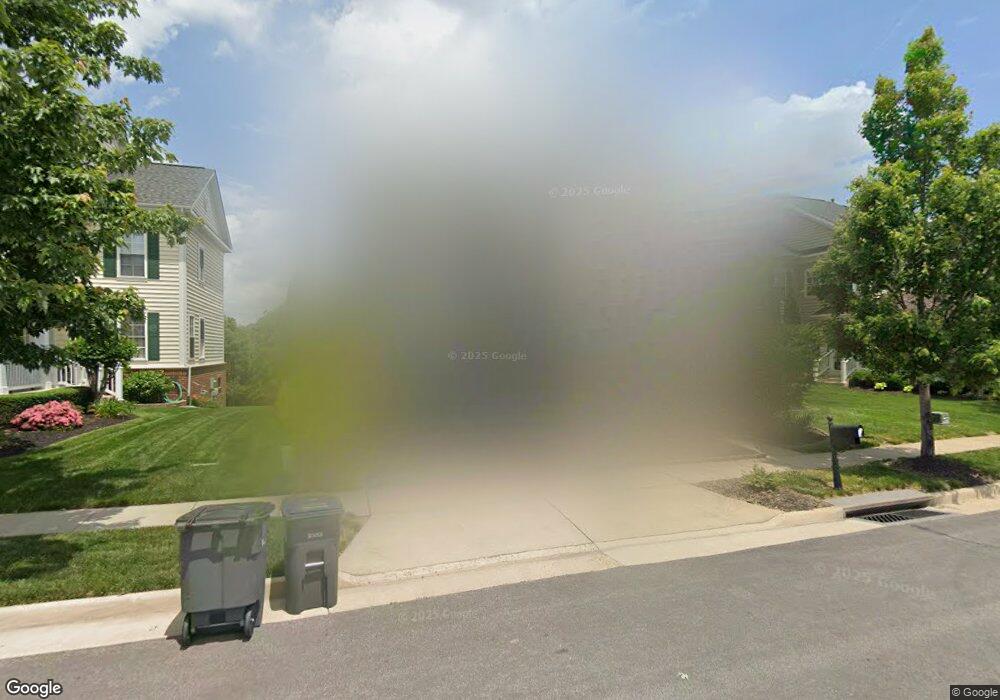
11804 Clarks Mountain Rd Bristow, VA 20136
Estimated Value: $876,227 - $934,000
4
Beds
5
Baths
3,838
Sq Ft
$235/Sq Ft
Est. Value
About This Home
This home is located at 11804 Clarks Mountain Rd, Bristow, VA 20136 and is currently estimated at $903,307, approximately $235 per square foot. 11804 Clarks Mountain Rd is a home located in Prince William County with nearby schools including T. Clay Wood Elementary School, E.H. Marsteller Middle School, and Brentsville District High School.
Ownership History
Date
Name
Owned For
Owner Type
Purchase Details
Closed on
Jun 3, 2009
Sold by
Centex Homes
Bought by
Njoku Ogunna O
Current Estimated Value
Home Financials for this Owner
Home Financials are based on the most recent Mortgage that was taken out on this home.
Original Mortgage
$436,045
Outstanding Balance
$276,390
Interest Rate
4.83%
Mortgage Type
FHA
Estimated Equity
$626,917
Create a Home Valuation Report for This Property
The Home Valuation Report is an in-depth analysis detailing your home's value as well as a comparison with similar homes in the area
Home Values in the Area
Average Home Value in this Area
Purchase History
| Date | Buyer | Sale Price | Title Company |
|---|---|---|---|
| Njoku Ogunna O | $444,090 | -- | |
| Njoku Ogunna O | $444,090 | Commerce Title Insurance Co |
Source: Public Records
Mortgage History
| Date | Status | Borrower | Loan Amount |
|---|---|---|---|
| Open | Njoku Ogunna O | $436,045 | |
| Closed | Njoku Ogunna O | $436,045 |
Source: Public Records
Tax History Compared to Growth
Tax History
| Year | Tax Paid | Tax Assessment Tax Assessment Total Assessment is a certain percentage of the fair market value that is determined by local assessors to be the total taxable value of land and additions on the property. | Land | Improvement |
|---|---|---|---|---|
| 2025 | $7,589 | $838,600 | $208,700 | $629,900 |
| 2024 | $7,589 | $763,100 | $198,700 | $564,400 |
| 2023 | $7,508 | $721,600 | $164,500 | $557,100 |
| 2022 | $7,556 | $672,000 | $164,500 | $507,500 |
| 2021 | $7,178 | $590,300 | $142,500 | $447,800 |
| 2020 | $8,409 | $542,500 | $142,500 | $400,000 |
| 2019 | $7,975 | $514,500 | $142,500 | $372,000 |
| 2018 | $6,269 | $519,200 | $142,500 | $376,700 |
| 2017 | $6,365 | $518,400 | $142,500 | $375,900 |
| 2016 | $5,949 | $488,700 | $136,000 | $352,700 |
| 2015 | $5,566 | $480,400 | $128,700 | $351,700 |
| 2014 | $5,566 | $446,900 | $119,100 | $327,800 |
Source: Public Records
Map
Nearby Homes
- 10554 Andrew Humphreys Ct
- 12054 Nokesville Rd
- 10423 Rifle Rd
- 10512 Blazing Star Loop
- 12021 Spring Beauty Rd
- 12417 Nokesville Rd
- 12151 Hayfield Ct
- 12204 Hoop Ct
- 12127 & 12131 Vint Hill Rd
- 12048 Elliots Oak Place
- 10941 Samuel Trexler Dr
- 10028 Boreland Ct
- 9656 Bedder Stone Place
- 9579 Scales Place
- Hampton II Plan at Parkgate Estates
- 12750 Brewland Way
- 10045 Pentland Hills Way
- 12330 Jayse Way
- 12115 Edmund Saul Ct
- The Jefferson Plan at Frederick Farms Estates
- 11808 Clarks Mountain Rd
- 11812 Clarks Mountain Rd
- 11796 Clarks Mountain Rd
- 10910 Ted Barclay Ln
- 10913 Ted Barclay Ln
- 11792 Clarks Mountain Rd
- 10909 Coleman Rector Ct
- 10914 Ted Barclay Ln
- 11821 Clarks Mountain Rd
- 11789 Clarks Mountain Rd
- 11788 Clarks Mountain Rd
- 10905 Coleman Rector Ct
- 10917 Ted Barclay Ln
- 10918 Ted Barclay Ln
- 11825 Clarks Mountain Rd
- 10901 Coleman Rector Ct
- 10832 Henry Abbott Rd
- 11784 Clarks Mountain Rd
- 10828 Henry Abbott Rd
- 10921 Ted Barclay Ln