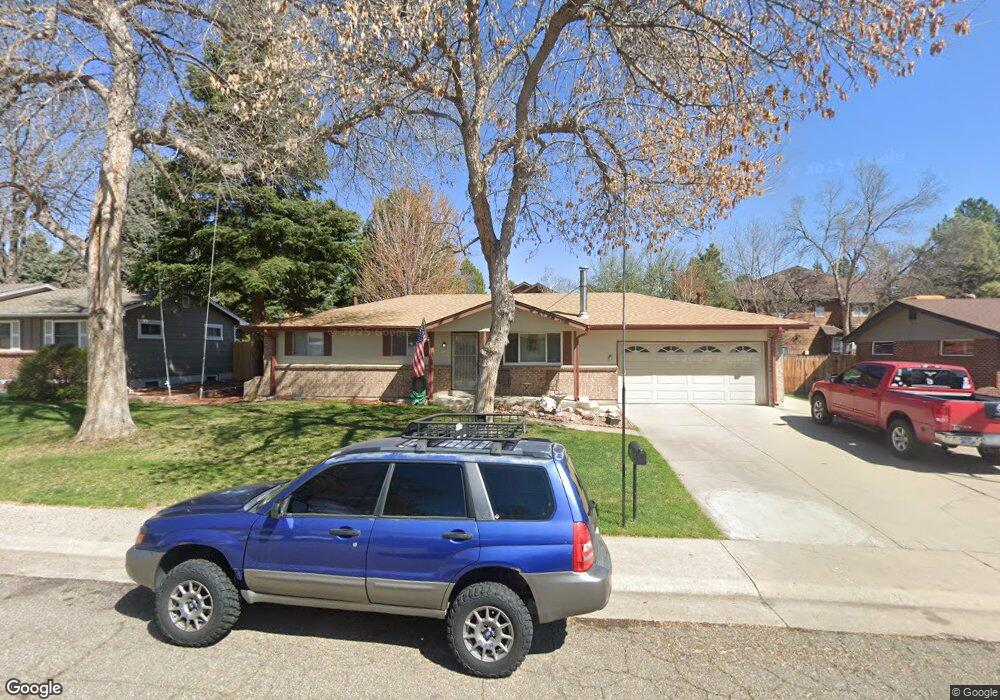
11807 W 65th Cir Arvada, CO 80004
Northwest Arvada NeighborhoodEstimated Value: $492,000 - $608,000
2
Beds
1
Bath
960
Sq Ft
$574/Sq Ft
Est. Value
About This Home
This home is located at 11807 W 65th Cir, Arvada, CO 80004 and is currently estimated at $551,267, approximately $574 per square foot. 11807 W 65th Cir is a home located in Jefferson County with nearby schools including Fremont Elementary School, Oberon Middle School, and Arvada West High School.
Ownership History
Date
Name
Owned For
Owner Type
Purchase Details
Closed on
Nov 24, 2003
Sold by
Wilson Erika E and Wilson James E
Bought by
Willhite Mark D and Willhite Traci M
Current Estimated Value
Home Financials for this Owner
Home Financials are based on the most recent Mortgage that was taken out on this home.
Original Mortgage
$237,500
Outstanding Balance
$110,182
Interest Rate
6.01%
Mortgage Type
VA
Estimated Equity
$441,085
Create a Home Valuation Report for This Property
The Home Valuation Report is an in-depth analysis detailing your home's value as well as a comparison with similar homes in the area
Home Values in the Area
Average Home Value in this Area
Purchase History
| Date | Buyer | Sale Price | Title Company |
|---|---|---|---|
| Willhite Mark D | $237,500 | Security Title Guaranty |
Source: Public Records
Mortgage History
| Date | Status | Borrower | Loan Amount |
|---|---|---|---|
| Open | Willhite Mark D | $237,500 |
Source: Public Records
Tax History Compared to Growth
Tax History
| Year | Tax Paid | Tax Assessment Tax Assessment Total Assessment is a certain percentage of the fair market value that is determined by local assessors to be the total taxable value of land and additions on the property. | Land | Improvement |
|---|---|---|---|---|
| 2024 | $2,765 | $28,508 | $13,344 | $15,164 |
| 2023 | $2,765 | $28,508 | $13,344 | $15,164 |
| 2022 | $2,379 | $24,295 | $10,772 | $13,523 |
| 2021 | $2,419 | $24,994 | $11,082 | $13,912 |
| 2020 | $2,371 | $24,573 | $10,775 | $13,798 |
| 2019 | $2,339 | $24,573 | $10,775 | $13,798 |
| 2018 | $2,050 | $20,933 | $5,374 | $15,559 |
| 2017 | $1,876 | $20,933 | $5,374 | $15,559 |
| 2016 | $1,627 | $17,102 | $5,250 | $11,852 |
| 2015 | $1,331 | $17,102 | $5,250 | $11,852 |
| 2014 | $1,331 | $13,144 | $4,165 | $8,979 |
Source: Public Records
Map
Nearby Homes
- 11820 W 66th Place Unit C
- 6640 Simms St
- 6470 Simms St Unit C
- 6466 Simms St Unit A
- 6620 Van Gordon Ct
- 11640 W 62nd Place Unit 203
- 10909 W 65th Way
- 11023 W 67th Way
- 12108 W 70th Ave
- 12625 W 66th Cir
- 6440 Wright St
- 10879 W 65th Way
- 11314 Allendale Dr
- 6085 Simms St
- 6432 Owens St
- 11954 W 61st Ave
- 11176 W 62nd Ave
- 7049 Van Gordon Ct
- 6388 Oak Ct Unit 104
- 6388 Oak Ct Unit 203
- 11787 W 65th Cir
- 11817 W 65th Cir
- 11780 W 66th Place Unit C
- 11780 W 66th Place Unit B
- 11780 W 66th Place Unit A
- 11806 W 65th Cir
- 11767 W 65th Cir
- 11827 W 65th Cir
- 11786 W 65th Cir
- 11816 W 65th Cir
- 11820 W 66th Place Unit B
- 11820 W 66th Place Unit A
- 11760 W 66th Place Unit A
- 11760 W 66th Place Unit B
- 11760 W 66th Place Unit C
- 11760 W 66th Place Unit D
- 11776 W 65th Cir
- 11840 W 66th Place Unit C
- 11840 W 66th Place Unit B
- 11840 W 66th Place Unit A