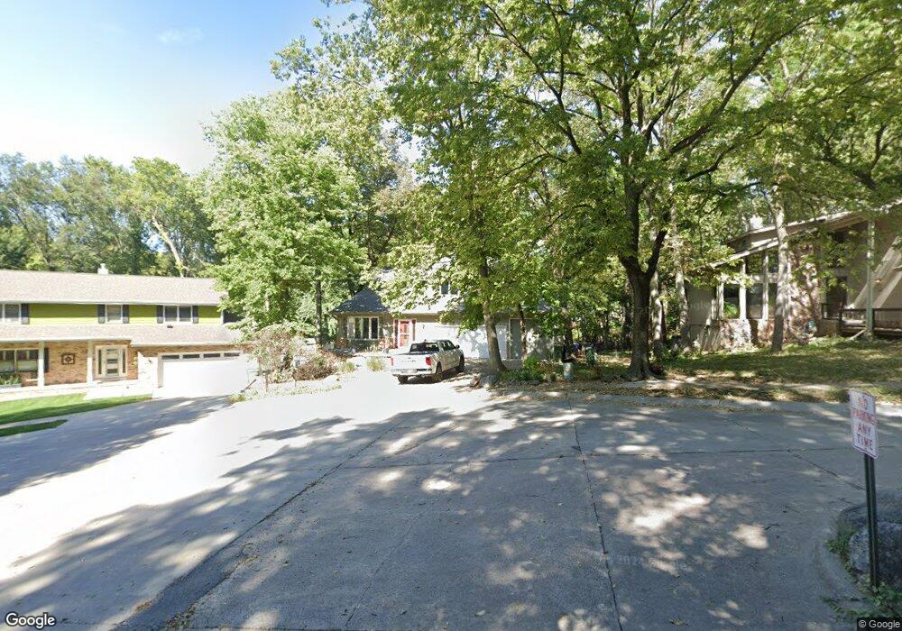
11809 Gow Cir Papillion, NE 68133
Estimated Value: $403,000 - $455,000
5
Beds
6
Baths
3,455
Sq Ft
$125/Sq Ft
Est. Value
About This Home
This home is located at 11809 Gow Cir, Papillion, NE 68133 and is currently estimated at $431,278, approximately $124 per square foot. 11809 Gow Cir is a home located in Sarpy County with nearby schools including Anderson Grove Elementary School, Papillion Middle School, and Papillion La Vista South High School.
Ownership History
Date
Name
Owned For
Owner Type
Purchase Details
Closed on
Jan 26, 2001
Sold by
Associates Relocation Management Co Inc
Bought by
Freeman Jerry T and Freeman Patricia A
Current Estimated Value
Home Financials for this Owner
Home Financials are based on the most recent Mortgage that was taken out on this home.
Original Mortgage
$179,550
Interest Rate
7.13%
Purchase Details
Closed on
Dec 29, 2000
Sold by
Merkle Raymond P and Merkle Candice K
Bought by
Associates Relocation Management Co Inc
Home Financials for this Owner
Home Financials are based on the most recent Mortgage that was taken out on this home.
Original Mortgage
$179,550
Interest Rate
7.13%
Create a Home Valuation Report for This Property
The Home Valuation Report is an in-depth analysis detailing your home's value as well as a comparison with similar homes in the area
Home Values in the Area
Average Home Value in this Area
Purchase History
| Date | Buyer | Sale Price | Title Company |
|---|---|---|---|
| Freeman Jerry T | $189,000 | -- | |
| Associates Relocation Management Co Inc | $190,000 | Spence Title Services Inc |
Source: Public Records
Mortgage History
| Date | Status | Borrower | Loan Amount |
|---|---|---|---|
| Open | Freeman Jerry T | $179,550 |
Source: Public Records
Tax History Compared to Growth
Tax History
| Year | Tax Paid | Tax Assessment Tax Assessment Total Assessment is a certain percentage of the fair market value that is determined by local assessors to be the total taxable value of land and additions on the property. | Land | Improvement |
|---|---|---|---|---|
| 2025 | $6,307 | $378,234 | $54,000 | $324,234 |
| 2024 | $7,346 | $366,160 | $49,000 | $317,160 |
| 2023 | $7,346 | $351,238 | $44,000 | $307,238 |
| 2022 | $7,009 | $316,177 | $44,000 | $272,177 |
| 2021 | $6,485 | $288,384 | $38,000 | $250,384 |
| 2020 | $6,374 | $281,856 | $38,000 | $243,856 |
| 2019 | $6,043 | $267,460 | $38,000 | $229,460 |
| 2018 | $5,976 | $260,723 | $32,000 | $228,723 |
| 2017 | $5,718 | $249,557 | $32,000 | $217,557 |
| 2016 | $5,346 | $233,630 | $32,000 | $201,630 |
| 2015 | $5,240 | $229,635 | $30,000 | $199,635 |
| 2014 | $5,217 | $227,162 | $30,000 | $197,162 |
| 2012 | -- | $226,062 | $30,000 | $196,062 |
Source: Public Records
Map
Nearby Homes
- 4614 Windcrest Dr
- 4714 Coffey St
- 4556 Barksdale Dr
- 4552 Barksdale Dr
- 4510 Barksdale Dr
- 4724 Coffey St
- 4406 Barksdale Dr
- 4557 Barksdale Dr
- 4305 Barksdale Dr
- 11903 S 49th St
- 12017 Daniell Rd
- 11817 Quail Dr
- 11809 Quail Dr
- 12035 S 45 St
- 12029 Daniell Rd
- 12039 S 45th Ave
- 12033 Daniell Rd
- 4223 Barksdale Cir
- 12037 Daniell Rd
- 4210 Barksdale Cir
- 11813 Gow Cir
- 11805 Gow Cir
- 11817 Gow Cir
- 11801 Gow Cir
- 11821 Gow Cir
- 4505 Anderson Cir
- 11802 Gow Cir
- 11814 Gow Cir
- 4509 Anderson Cir
- 11806 Gow Cir
- 11818 Gow Cir
- 11825 Gow Cir
- 4418 Anchor Mill Dr
- 4415 Anderson Grove
- 11822 Gow Cir
- 4506 Anderson Cir
- 4411 Anderson Grove
- 4414 Anchor Mill Dr
- 11826 Gow Cir
- 11905 Jake Cir