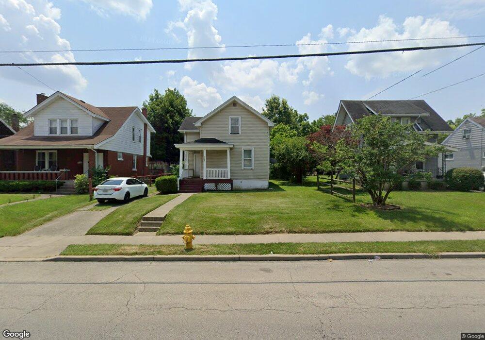
1181 Cedar Ave Cincinnati, OH 45224
College Hill NeighborhoodEstimated Value: $113,000 - $155,000
2
Beds
1
Bath
1,230
Sq Ft
$112/Sq Ft
Est. Value
About This Home
This home is located at 1181 Cedar Ave, Cincinnati, OH 45224 and is currently estimated at $137,929, approximately $112 per square foot. 1181 Cedar Ave is a home located in Hamilton County with nearby schools including Pleasant Hill Elementary School, Robert A. Taft Information Technology High School, and Western Hills High School.
Ownership History
Date
Name
Owned For
Owner Type
Purchase Details
Closed on
Apr 13, 2005
Sold by
Armstrong Properties Ltd
Bought by
Tresenwriter Gary
Current Estimated Value
Home Financials for this Owner
Home Financials are based on the most recent Mortgage that was taken out on this home.
Original Mortgage
$63,750
Interest Rate
5.87%
Mortgage Type
Unknown
Purchase Details
Closed on
Jan 21, 2005
Sold by
Queen City Home Buyers Llc
Bought by
Armstrong Properties Ltd
Create a Home Valuation Report for This Property
The Home Valuation Report is an in-depth analysis detailing your home's value as well as a comparison with similar homes in the area
Home Values in the Area
Average Home Value in this Area
Purchase History
| Date | Buyer | Sale Price | Title Company |
|---|---|---|---|
| Tresenwriter Gary | -- | None Available | |
| Armstrong Properties Ltd | $27,000 | None Available |
Source: Public Records
Mortgage History
| Date | Status | Borrower | Loan Amount |
|---|---|---|---|
| Previous Owner | Tresenwriter Gary | $63,750 |
Source: Public Records
Tax History
| Year | Tax Paid | Tax Assessment Tax Assessment Total Assessment is a certain percentage of the fair market value that is determined by local assessors to be the total taxable value of land and additions on the property. | Land | Improvement |
|---|---|---|---|---|
| 2025 | $2,482 | $38,969 | $10,388 | $28,581 |
| 2023 | $2,483 | $38,969 | $10,388 | $28,581 |
| 2022 | $1,443 | $20,283 | $8,460 | $11,823 |
| 2021 | $1,414 | $20,283 | $8,460 | $11,823 |
| 2020 | $1,418 | $20,283 | $8,460 | $11,823 |
| 2019 | $1,367 | $17,791 | $7,420 | $10,371 |
| 2018 | $1,368 | $17,791 | $7,420 | $10,371 |
| 2017 | $1,317 | $17,791 | $7,420 | $10,371 |
| 2016 | $1,356 | $17,868 | $7,917 | $9,951 |
| 2015 | $1,213 | $17,868 | $7,917 | $9,951 |
| 2014 | $1,219 | $17,868 | $7,917 | $9,951 |
| 2013 | $1,278 | $18,421 | $8,162 | $10,259 |
Source: Public Records
Map
Nearby Homes
- 1140 Cedar Ave
- 5940 Kenneth Ave
- 1197 Toluca Ct
- 5773 Lantana Ave
- 6071 Lantana Ave
- 5679 Folchi Dr
- 5825 Salvia Ave
- 6101 Capri Dr
- 6000 Capri Dr
- 1620 Linden Dr
- 6024 Sunridge Dr
- 5974 Sunridge Dr
- 6145 Sunridge Dr
- 1649 Larch Ave
- 939 Venetian Terrace
- 1565 Reid Ave
- 5510 Hamilton Ave
- 1552 Reid Ave
- 5441 Lanius Ln
- 6229 Station Court Dr
- 1179 Cedar Ave
- 1183 Cedar Ave
- 1177 Cedar Ave
- 1187 Cedar Ave
- 1198 N Lynnebrook Dr
- 5764 Kenneth Ave
- 1196 N Lynnebrook Dr
- 1194 N Lynnebrook Dr
- 1173 Cedar Ave
- 1200 N Lynnebrook Dr
- 1192 N Lynnebrook Dr
- 1165 Cedar Ave
- 1195 Cedar Ave
- 1190 N Lynnebrook Dr
- 1180 Cedar Ave
- 1182 Cedar Ave
- 1172 Cedar Ave
- 1188 N Lynnebrook Dr
- 1186 Cedar Ave
- 1170 Cedar Ave
Your Personal Tour Guide
Ask me questions while you tour the home.