Estimated Value: $44,000 - $273,000
Studio
--
Bath
572
Sq Ft
$277/Sq Ft
Est. Value
About This Home
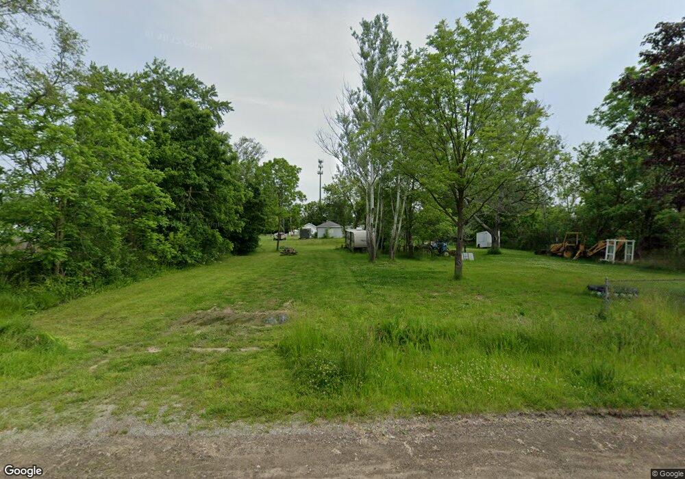
This home is located at 1181 E Humphrey Ave, Flint, MI 48505 and is currently estimated at $158,500, approximately $277 per square foot. 1181 E Humphrey Ave is a home located in Genesee County with nearby schools including Beecher High School, The New Standard Academy, and St. Mary's School.
Ownership History
Date
Name
Owned For
Owner Type
Purchase Details
Closed on
Sep 19, 2023
Sold by
Chapman Marvin
Bought by
Redwine Deonte
Current Estimated Value
Purchase Details
Closed on
Sep 11, 2023
Sold by
Willis Susan C
Bought by
Chapman Marvin
Purchase Details
Closed on
Jun 28, 2022
Sold by
Genesee County Land Bank Authority
Bought by
Willis Susan C
Purchase Details
Closed on
Dec 12, 2018
Sold by
Cherry Deborah L
Bought by
County Land Bank Authority
Purchase Details
Closed on
Sep 25, 2002
Sold by
Hoschna John P
Bought by
Minterfering Michael R and Alexander Vicki
Purchase Details
Closed on
Jan 22, 2000
Sold by
Lee Blake William George and Lee Blake Rachelle
Bought by
Hoschna John P
Purchase Details
Closed on
Apr 17, 1998
Sold by
Sutherland Donna
Bought by
Gibbs Floyd F
Create a Home Valuation Report for This Property
The Home Valuation Report is an in-depth analysis detailing your home's value as well as a comparison with similar homes in the area
Home Values in the Area
Average Home Value in this Area
Purchase History
| Date | Buyer | Sale Price | Title Company |
|---|---|---|---|
| Redwine Deonte | $4,500 | None Listed On Document | |
| Chapman Marvin | $700 | None Listed On Document | |
| Willis Susan C | $352 | None Listed On Document | |
| County Land Bank Authority | -- | None Available | |
| Minterfering Michael R | $6,000 | -- | |
| Hoschna John P | -- | Stewart Title Guaranty Compa | |
| Gibbs Floyd F | $12,000 | -- |
Source: Public Records
Tax History
| Year | Tax Paid | Tax Assessment Tax Assessment Total Assessment is a certain percentage of the fair market value that is determined by local assessors to be the total taxable value of land and additions on the property. | Land | Improvement |
|---|---|---|---|---|
| 2025 | $92 | $900 | $0 | $0 |
| 2024 | $9 | $800 | $0 | $0 |
| 2023 | $8 | $700 | $0 | $0 |
| 2022 | $151 | $0 | $0 | $0 |
| 2020 | $151 | $0 | $0 | $0 |
| 2019 | $151 | $0 | $0 | $0 |
| 2018 | $151 | $2,600 | $0 | $0 |
| 2017 | $311 | $2,600 | $0 | $0 |
| 2016 | $309 | $2,400 | $0 | $0 |
| 2015 | $137 | $2,300 | $0 | $0 |
| 2014 | $29 | $2,500 | $0 | $0 |
| 2012 | -- | $2,900 | $2,900 | $0 |
Source: Public Records
Map
Nearby Homes
- 1023 E Princeton Ave
- 1306 E Humphrey Ave
- 1151 E Cornell Ave
- 1061 W Harvard Ave
- 1065 W Kurtz Ave
- 1076 W Kurtz Ave
- 1082 Dowagiac Ave
- 1163 Peachtree Dr
- 5218 Summit St
- 5261 Harvard St
- 5159 Summit St
- 6136 Flowerday Dr
- 1062 Tremont Ave
- E E Carpenter Rd
- 0 Detroit St Unit 25061886
- 0 Detroit St Unit 25061882
- 0 Detroit St Unit 25061884
- 0 Detroit St Unit 25061881
- 0 Detroit St Unit 25061883
- 0 Detroit St Unit 25061887
- 1182 E Grand Blvd
- 1168 E Grand Blvd
- 1184 E Humphrey Ave
- 1164 E Grand Blvd
- 1168 E Humphrey Ave
- 1157 E Humphrey Ave
- 1162 E Humphrey Ave
- 1172 E Humphrey Ave
- 1189 E Harvard Ave
- 1156 E Grand Blvd
- 1187 E Grand Blvd
- 1175 E Harvard Ave
- 1145 E Humphrey Ave
- 1159 E Harvard Ave
- 1179 E Grand Blvd
- 1152 E Humphrey Ave
- 1146 E Humphrey Ave
- 1153 E Grand Blvd
- 1140 E Grand Blvd
- 1139 E Humphrey Ave
Your Personal Tour Guide
Ask me questions while you tour the home.