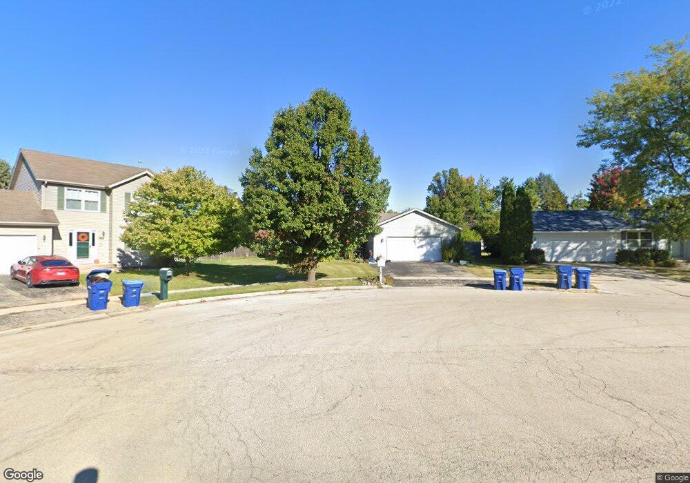
1181 Mary Ct Dekalb, IL 60115
Estimated Value: $250,079 - $322,000
--
Bed
--
Bath
--
Sq Ft
0.32
Acres
About This Home
This home is located at 1181 Mary Ct, Dekalb, IL 60115 and is currently estimated at $295,270. 1181 Mary Ct is a home located in DeKalb County with nearby schools including Tyler Elementary School, Huntley Middle School, and De Kalb High School.
Ownership History
Date
Name
Owned For
Owner Type
Purchase Details
Closed on
May 9, 2017
Sold by
Kelsch Florence and Briski Declaration T Dolores F
Bought by
Briski Phillip
Current Estimated Value
Purchase Details
Closed on
Aug 15, 2013
Sold by
Briski Dolores F
Bought by
Briski Dolores F
Purchase Details
Closed on
May 23, 2013
Sold by
Us Bank Na
Bought by
Briski Dolores F
Home Financials for this Owner
Home Financials are based on the most recent Mortgage that was taken out on this home.
Original Mortgage
$91,200
Interest Rate
3.62%
Mortgage Type
New Conventional
Purchase Details
Closed on
Oct 15, 2012
Sold by
Dekalb County Sheriff
Bought by
Us Bank Na
Purchase Details
Closed on
May 6, 2005
Sold by
National Bk & Tr Sycamore
Bought by
Insite Dekalb Llc
Home Financials for this Owner
Home Financials are based on the most recent Mortgage that was taken out on this home.
Original Mortgage
$160,000
Interest Rate
8.3%
Mortgage Type
New Conventional
Create a Home Valuation Report for This Property
The Home Valuation Report is an in-depth analysis detailing your home's value as well as a comparison with similar homes in the area
Home Values in the Area
Average Home Value in this Area
Purchase History
| Date | Buyer | Sale Price | Title Company |
|---|---|---|---|
| Briski Phillip | -- | None Available | |
| Briski Dolores F | -- | -- | |
| Briski Dolores F | $114,000 | -- | |
| Us Bank Na | -- | -- | |
| Insite Dekalb Llc | $458,000 | -- |
Source: Public Records
Mortgage History
| Date | Status | Borrower | Loan Amount |
|---|---|---|---|
| Previous Owner | Briski Dolores F | $91,200 | |
| Previous Owner | Insite Dekalb Llc | $160,000 |
Source: Public Records
Tax History Compared to Growth
Tax History
| Year | Tax Paid | Tax Assessment Tax Assessment Total Assessment is a certain percentage of the fair market value that is determined by local assessors to be the total taxable value of land and additions on the property. | Land | Improvement |
|---|---|---|---|---|
| 2024 | $5,318 | $77,405 | $12,408 | $64,997 |
| 2023 | $5,318 | $67,491 | $10,819 | $56,672 |
| 2022 | $5,115 | $61,619 | $12,348 | $49,271 |
| 2021 | $6,395 | $57,793 | $11,581 | $46,212 |
| 2020 | $6,540 | $56,871 | $11,396 | $45,475 |
| 2019 | $6,411 | $54,636 | $10,948 | $43,688 |
| 2018 | $6,260 | $52,784 | $10,577 | $42,207 |
| 2017 | $6,320 | $50,739 | $10,167 | $40,572 |
| 2016 | $6,250 | $49,458 | $9,910 | $39,548 |
| 2015 | -- | $46,862 | $9,390 | $37,472 |
| 2014 | -- | $44,650 | $13,587 | $31,063 |
| 2013 | -- | $46,901 | $14,272 | $32,629 |
Source: Public Records
Map
Nearby Homes
- 1151 Mary Ct
- 1143 Quail Run
- 1177 Golf Ct
- 1232 Bellevue Dr Unit 1
- 1015 Ashley Dr Unit 15
- 910 Dawn Ct
- 685 Persimmon St
- 1563 Farmstead Ln
- 411 Gayle Ave
- 111 Salem Dr
- 752 Kensington Blvd
- 356 Ash Ct
- 715 Ellwood Ave
- 1734 Sunglow Ln
- 754 Haish Blvd
- 129 Devonshire Dr
- 1723 Goldenrod Turn
- 847 S 1st St
- 1548 Moluf St
- 1663 Furrow St
- 1201 Mary Ct
- 1165 Mary Ct
- 1180 Highpointe Dr
- 1200 Highpointe Dr
- 1164 Highpointe Dr
- 1124 Quail Run
- 1146 Quail Run
- 1164 Quail Run
- 1200 Mary Ct
- 1210 Highpointe Dr
- 1150 Highpointe Dr
- 1180 Mary Ct
- 1164 Mary Ct
- 1186 Quail Run
- 1135 Mary Ct
- 1134 Highpointe Dr
- 1150 Mary Ct
- 1198 Quail Run
- 1181 Highpointe Dr
- 1201 Highpointe Dr