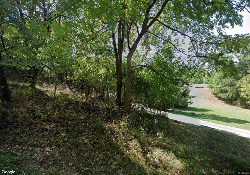
1181 Stringtown Rd NW Lancaster, OH 43130
Estimated Value: $691,000 - $956,631
5
Beds
6
Baths
4,642
Sq Ft
$177/Sq Ft
Est. Value
About This Home
This home is located at 1181 Stringtown Rd NW, Lancaster, OH 43130 and is currently estimated at $821,210, approximately $176 per square foot. 1181 Stringtown Rd NW is a home located in Fairfield County with nearby schools including Tarhe Elementary School, General Sherman Junior High School, and Lancaster High School.
Ownership History
Date
Name
Owned For
Owner Type
Purchase Details
Closed on
May 30, 2006
Sold by
Mcclellan William C and Cumberland Mary E
Bought by
Usilton Richard E and Usilton Sandra R
Current Estimated Value
Purchase Details
Closed on
Jun 1, 1990
Bought by
Usilton Richard E
Purchase Details
Closed on
Oct 1, 1989
Create a Home Valuation Report for This Property
The Home Valuation Report is an in-depth analysis detailing your home's value as well as a comparison with similar homes in the area
Home Values in the Area
Average Home Value in this Area
Purchase History
| Date | Buyer | Sale Price | Title Company |
|---|---|---|---|
| Usilton Richard E | $25,350 | None Available | |
| Usilton Richard E | $25,400 | None Available | |
| Usilton Richard E | $65,000 | -- | |
| -- | $24,000 | -- |
Source: Public Records
Tax History Compared to Growth
Tax History
| Year | Tax Paid | Tax Assessment Tax Assessment Total Assessment is a certain percentage of the fair market value that is determined by local assessors to be the total taxable value of land and additions on the property. | Land | Improvement |
|---|---|---|---|---|
| 2024 | $25,350 | $254,520 | $52,870 | $201,650 |
| 2023 | $10,614 | $254,520 | $52,870 | $201,650 |
| 2022 | $10,742 | $254,520 | $52,870 | $201,650 |
| 2021 | $8,139 | $192,280 | $40,670 | $151,610 |
| 2020 | $7,839 | $192,280 | $40,670 | $151,610 |
| 2019 | $7,493 | $192,280 | $40,670 | $151,610 |
| 2018 | $7,579 | $163,380 | $39,040 | $124,340 |
| 2017 | $7,582 | $183,170 | $39,040 | $144,130 |
| 2016 | $7,306 | $183,170 | $39,040 | $144,130 |
| 2015 | $7,303 | $176,770 | $39,040 | $137,730 |
| 2014 | $6,987 | $176,770 | $39,040 | $137,730 |
| 2013 | $6,987 | $176,770 | $39,040 | $137,730 |
Source: Public Records
Map
Nearby Homes
- 319 Greenfield Ave
- 173 Lakeview Dr NE
- 0 Wacker Dr Unit 225036189
- 1700 N Columbus St
- 1511 N Columbus St
- 100 Wilson Ave
- 1190 N Columbus St
- 0 Marks Ave Unit 225036443
- 1916 Country Place
- 260 Scott Dr
- 1318 Graf St
- 626 Rainbow Dr NW
- 715 Sherman Bluff Way Unit 14715
- 1125 Olds Ave
- 315 Park St
- 222 Park St
- 218 Marvel Dr
- 1801 Pleasantview Dr NE
- 226 Whittier Dr S
- 1000 Goodwin Ave
- 1201 Stringtown Rd NW
- 1150 Stringtown Rd NE
- 990 Stringtown Rd NE
- 1250 Stringtown Rd NE
- 1400 Stringtown Rd NE
- 1400 Stringtown Rd NE
- 960 Stringtown Rd NE
- 1410 Stringtown Rd NE
- 0 Stringtown Rd NE
- 0 Stringtown Rd NE Unit LOT 2 2647379
- 0 Stringtown Rd NE Unit LOT 1 2647375
- 0 Stringtown Rd NE Unit LOT 3 2647381
- 0 Stringtown Rd NE Unit 2213278
- 0 Stringtown Rd NE Unit 2810567
- 0 Stringtown Rd NE Unit 2937403
- 0 Stringtown Rd NE Unit Lot 1 210019360
- 450 Mound St
- 1570 N High St
- 1375 Stringtown Rd NE
- 1401 Stringtown Rd NE
