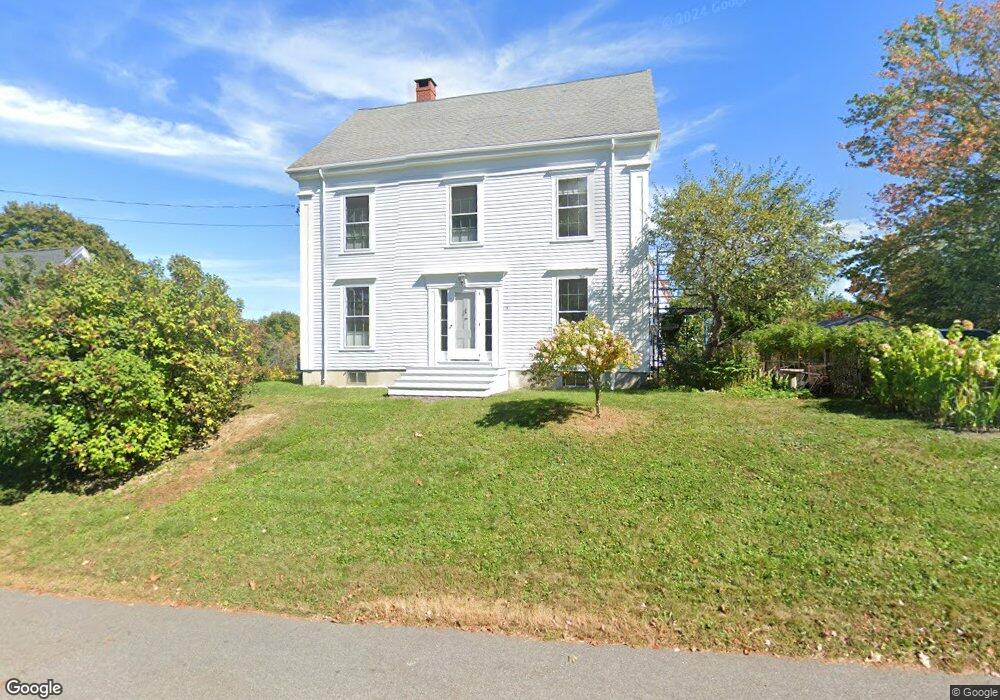
1181 Westbrook St Portland, ME 04102
Stroudwater NeighborhoodEstimated Value: $603,323 - $750,000
3
Beds
3
Baths
1,961
Sq Ft
$346/Sq Ft
Est. Value
About This Home
This home is located at 1181 Westbrook St, Portland, ME 04102 and is currently estimated at $678,831, approximately $346 per square foot. 1181 Westbrook St is a home located in Cumberland County with nearby schools including Amanda C Rowe School, King Middle School, and Levey Day School.
Ownership History
Date
Name
Owned For
Owner Type
Purchase Details
Closed on
Sep 18, 2007
Sold by
Peck Julie F and Melton Julie E
Bought by
Hawkes Andrea C and Hawkes Donald K
Current Estimated Value
Home Financials for this Owner
Home Financials are based on the most recent Mortgage that was taken out on this home.
Original Mortgage
$236,000
Interest Rate
6.7%
Mortgage Type
Unknown
Create a Home Valuation Report for This Property
The Home Valuation Report is an in-depth analysis detailing your home's value as well as a comparison with similar homes in the area
Home Values in the Area
Average Home Value in this Area
Purchase History
| Date | Buyer | Sale Price | Title Company |
|---|---|---|---|
| Hawkes Andrea C | -- | -- |
Source: Public Records
Mortgage History
| Date | Status | Borrower | Loan Amount |
|---|---|---|---|
| Open | Hawkes Andrea C | $238,052 | |
| Closed | Hawkes Andrea C | $236,000 |
Source: Public Records
Tax History Compared to Growth
Tax History
| Year | Tax Paid | Tax Assessment Tax Assessment Total Assessment is a certain percentage of the fair market value that is determined by local assessors to be the total taxable value of land and additions on the property. | Land | Improvement |
|---|---|---|---|---|
| 2024 | $5,585 | $372,100 | $84,600 | $287,500 |
| 2023 | $5,362 | $372,100 | $84,600 | $287,500 |
| 2022 | $5,064 | $372,100 | $84,600 | $287,500 |
| 2021 | $4,834 | $372,100 | $84,600 | $287,500 |
| 2020 | $6,142 | $263,500 | $75,300 | $188,200 |
| 2019 | $6,142 | $263,500 | $75,300 | $188,200 |
| 2018 | $5,923 | $263,500 | $75,300 | $188,200 |
| 2017 | $5,705 | $263,500 | $75,300 | $188,200 |
| 2016 | $5,562 | $263,500 | $75,300 | $188,200 |
| 2015 | $5,436 | $263,500 | $75,300 | $188,200 |
| 2014 | $5,270 | $263,500 | $75,300 | $188,200 |
Source: Public Records
Map
Nearby Homes
- 89 Cobb Ave
- 1346 Westbrook St
- 1542 Congress St
- 1 Firefly St Unit 402
- 1 Firefly St Unit 201
- 1 Firefly St Unit 303
- 1 Firefly St Unit 302
- 1 Firefly St Unit 403/103
- 1 Firefly St Unit 301
- 1 Firefly St Unit 401
- 1 Firefly St Unit 403
- 1 Firefly St Unit 202
- 2 Firefly St Unit 303
- 7 Twin Knolls Ln
- 159 Bancroft St
- 162 Hobart St
- 1549 Westbrook St
- 63A Capisic St
- 24 Edwards St
- 18 Stoneledge Dr
- 1187 Westbrook St
- 1178 Westbrook St
- 1193 Westbrook St
- 1190 Westbrook St
- 8 Garrison Street Extension
- 1169 Westbrook St
- 1180 Westbrook St
- 17 Garrison St
- 11 Garrison Street Extension
- 1174 Westbrook St
- 1168 Westbrook St
- 24 Garrison St
- 2 Garrison Street Extension
- 0 Westbrook St
- 1157 Westbrook St
- 1 Cobb Ave
- 28 Garrison St
- 55 Old Mast Rd
- 54 Old Mast Rd
- 9 Cobb Ave