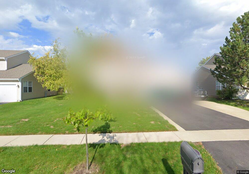
1181 Westport Ridge Crystal Lake, IL 60014
Estimated Value: $377,000 - $405,000
4
Beds
3
Baths
2,080
Sq Ft
$188/Sq Ft
Est. Value
About This Home
This home is located at 1181 Westport Ridge, Crystal Lake, IL 60014 and is currently estimated at $390,430, approximately $187 per square foot. 1181 Westport Ridge is a home located in McHenry County with nearby schools including Indian Prairie Elementary School, Lundahl Middle School, and Crystal Lake South High School.
Ownership History
Date
Name
Owned For
Owner Type
Purchase Details
Closed on
Apr 23, 2014
Sold by
Hedman Ronald W and Nathan Christine A
Bought by
Tunison David and Tunison Anne
Current Estimated Value
Home Financials for this Owner
Home Financials are based on the most recent Mortgage that was taken out on this home.
Original Mortgage
$156,120
Outstanding Balance
$118,277
Interest Rate
4.25%
Mortgage Type
FHA
Estimated Equity
$272,153
Purchase Details
Closed on
Aug 5, 1999
Sold by
Smith Roger and Smith Barbara
Bought by
Hedman Ronald W and Nathan Christine A
Home Financials for this Owner
Home Financials are based on the most recent Mortgage that was taken out on this home.
Original Mortgage
$132,000
Interest Rate
7.68%
Purchase Details
Closed on
Sep 30, 1993
Sold by
Tanner Ronald D and Tanner Patricia Lynn
Bought by
Smith Roger and Smith Barbara
Home Financials for this Owner
Home Financials are based on the most recent Mortgage that was taken out on this home.
Original Mortgage
$106,000
Interest Rate
7.15%
Create a Home Valuation Report for This Property
The Home Valuation Report is an in-depth analysis detailing your home's value as well as a comparison with similar homes in the area
Home Values in the Area
Average Home Value in this Area
Purchase History
| Date | Buyer | Sale Price | Title Company |
|---|---|---|---|
| Tunison David | $159,000 | Chicago Title | |
| Hedman Ronald W | $165,000 | Intercounty Title | |
| Smith Roger | $146,000 | Northern Land Title Corporat |
Source: Public Records
Mortgage History
| Date | Status | Borrower | Loan Amount |
|---|---|---|---|
| Open | Tunison David | $156,120 | |
| Previous Owner | Hedman Ronald W | $132,000 | |
| Previous Owner | Smith Roger | $106,000 |
Source: Public Records
Tax History Compared to Growth
Tax History
| Year | Tax Paid | Tax Assessment Tax Assessment Total Assessment is a certain percentage of the fair market value that is determined by local assessors to be the total taxable value of land and additions on the property. | Land | Improvement |
|---|---|---|---|---|
| 2024 | $7,779 | $99,885 | $22,625 | $77,260 |
| 2023 | $7,489 | $89,334 | $20,235 | $69,099 |
| 2022 | $7,770 | $88,031 | $24,089 | $63,942 |
| 2021 | $7,341 | $82,012 | $22,442 | $59,570 |
| 2020 | $7,152 | $79,109 | $21,648 | $57,461 |
| 2019 | $6,960 | $75,717 | $20,720 | $54,997 |
| 2018 | $6,447 | $69,307 | $19,141 | $50,166 |
| 2017 | $6,400 | $65,292 | $18,032 | $47,260 |
| 2016 | $6,229 | $61,238 | $16,912 | $44,326 |
| 2013 | -- | $60,385 | $15,777 | $44,608 |
Source: Public Records
Map
Nearby Homes
- 1391 Acadia Cir
- 518 Silver Aspen Cir
- 1421 Acadia Cir
- 1451 Acadia Cir
- 1441 Acadia Cir
- 1461 Acadia Cir
- 1549 Brompton Ln
- 542 Silver Aspen Cir
- 1420 Trailwood Dr
- 1549 Hollytree Ln Unit 2
- 645 Kendallwood Ct
- 796 Waterford Cut
- 1668 Penn Ct Unit A
- 1542 Candlewood Dr
- 1655 Kennsington Ln
- 1694 Penny Ln Unit A
- 1201 Boxwood Dr
- 1506 Monroe St
- 894 N Brentwood Dr
- 1644 Stockton Ln
- 1185 Westport Ridge
- 1177 Westport Ridge
- 541 Monarch Dr
- 537 Monarch Dr
- 1189 Westport Ridge
- 1173 Westport Ridge
- 533 Monarch Dr
- 545 Monarch Dr
- 529 Monarch Dr
- 1184 Westport Ridge
- 1172 Westport Ridge
- 1199 Westport Ridge
- 1169 Westport Ridge
- 549 Monarch Dr
- 1281 Fernleaf Dr
- 1188 Westport Ridge
- 1209 Westport Ridge
- 1168 Westport Ridge
- 540 Monarch Dr
- 544 Monarch Dr