11811 Highway 60 W Poplar Bluff, MO 63901
Estimated Value: $287,000 - $919,181
5
Beds
--
Bath
5,205
Sq Ft
$104/Sq Ft
Est. Value
About This Home
This home is located at 11811 Highway 60 W, Poplar Bluff, MO 63901 and is currently estimated at $543,060, approximately $104 per square foot. 11811 Highway 60 W is a home located in Butler County with nearby schools including Oak Grove Elementary School, Poplar Bluff Fifth & Sixth Grade Center, and Poplar Bluff Junior High School.
Ownership History
Date
Name
Owned For
Owner Type
Purchase Details
Closed on
Dec 19, 2018
Sold by
Edmundson Jasper N and Edmundson Vicky Ann
Bought by
Smith Steven Ray and Smith Tamala Lynn
Current Estimated Value
Home Financials for this Owner
Home Financials are based on the most recent Mortgage that was taken out on this home.
Original Mortgage
$1,105,000
Outstanding Balance
$973,590
Interest Rate
4.9%
Mortgage Type
New Conventional
Estimated Equity
-$430,530
Create a Home Valuation Report for This Property
The Home Valuation Report is an in-depth analysis detailing your home's value as well as a comparison with similar homes in the area
Home Values in the Area
Average Home Value in this Area
Purchase History
| Date | Buyer | Sale Price | Title Company |
|---|---|---|---|
| Smith Steven Ray | -- | None Available |
Source: Public Records
Mortgage History
| Date | Status | Borrower | Loan Amount |
|---|---|---|---|
| Open | Smith Steven Ray | $1,105,000 |
Source: Public Records
Tax History Compared to Growth
Tax History
| Year | Tax Paid | Tax Assessment Tax Assessment Total Assessment is a certain percentage of the fair market value that is determined by local assessors to be the total taxable value of land and additions on the property. | Land | Improvement |
|---|---|---|---|---|
| 2024 | $80 | $179,610 | $0 | $0 |
| 2023 | $7,999 | $179,610 | $0 | $0 |
| 2022 | $7,713 | $173,540 | $0 | $0 |
| 2021 | $7,717 | $173,540 | $0 | $0 |
| 2020 | $7,356 | $162,910 | $0 | $0 |
| 2019 | $7,551 | $163,090 | $0 | $0 |
| 2018 | $7,551 | $167,380 | $0 | $0 |
| 2017 | -- | $167,380 | $0 | $0 |
| 2016 | -- | $167,380 | $0 | $0 |
| 2015 | -- | $167,380 | $0 | $0 |
| 2014 | -- | $156,130 | $0 | $0 |
| 2012 | $5,920 | $155,430 | $0 | $0 |
Source: Public Records
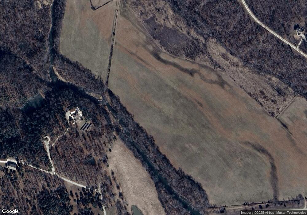
Map
Nearby Homes
- 10374 Highway 60 W
- 125 Lanee Ln
- 109 Lanee Ln
- Tbd County Road 426
- 14108 Lynn Rd
- 10576 Highway Pp
- 858 County Road 420
- TBD County Road 426
- 0 County Road 421
- 00 Rabbit Run Rd
- 9711 Highway Pp
- 607 County Road 423
- 139 County Road 425
- 0 9 6 Ac + - Off Tt Hwy Unit MIS25050752
- 1 Woodland Heights W
- 4 Woodland Heights W
- 9 Woodland Heights W
- 14 Woodland Heights W
- 6 Woodland Heights W
- 5 Woodland Heights W
- 1212 County Road 410
- 1215 County Road 410
- 0 N of Cr 410 Unit 9936755
- 0 E of Cr 410 Unit 9938891
- 1069 County Road 410
- 1361 County Road 411
- 1549 County Road 410
- 1827 County Road 410
- 727 County Road 410
- 545 County Road 410
- 11956 Highway 60 W
- 1158 County Road 411
- 1005 County Road 411
- 11686 Highway 60 W
- 1235 County Road 411
- 184 Woods Pasture Dr
- 318 County Road 410
- 2273 County Road 410
- 184 Woods Pasture Dr
- 122 County Road 410