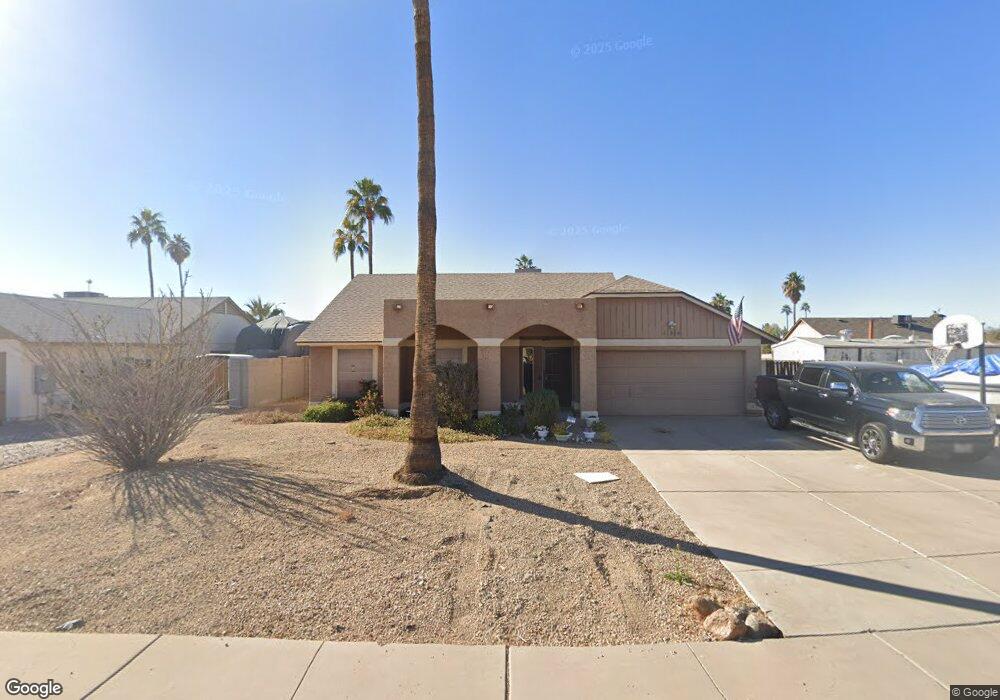
11814 N 78th Dr Peoria, AZ 85345
Estimated Value: $339,556 - $447,000
--
Bed
2
Baths
1,753
Sq Ft
$229/Sq Ft
Est. Value
About This Home
This home is located at 11814 N 78th Dr, Peoria, AZ 85345 and is currently estimated at $400,639, approximately $228 per square foot. 11814 N 78th Dr is a home located in Maricopa County with nearby schools including Peoria Elementary School, Peoria High School, and Academy of Math & Science - Peoria Advanced.
Ownership History
Date
Name
Owned For
Owner Type
Purchase Details
Closed on
Apr 20, 2012
Sold by
Burkey Herbert L
Bought by
Burkey Ii Herbert Leroy and Burkey Jeanette Marie
Current Estimated Value
Purchase Details
Closed on
Dec 8, 1997
Sold by
Whitlow Guyland L and Whitlow Lisa M
Bought by
Burkey Ii Herbert L
Home Financials for this Owner
Home Financials are based on the most recent Mortgage that was taken out on this home.
Original Mortgage
$88,825
Outstanding Balance
$15,014
Interest Rate
7.22%
Mortgage Type
New Conventional
Estimated Equity
$385,625
Create a Home Valuation Report for This Property
The Home Valuation Report is an in-depth analysis detailing your home's value as well as a comparison with similar homes in the area
Home Values in the Area
Average Home Value in this Area
Purchase History
| Date | Buyer | Sale Price | Title Company |
|---|---|---|---|
| Burkey Ii Herbert Leroy | -- | None Available | |
| Burkey Ii Herbert L | $93,500 | Grand Canyon Title Agency In |
Source: Public Records
Mortgage History
| Date | Status | Borrower | Loan Amount |
|---|---|---|---|
| Open | Burkey Ii Herbert L | $88,825 |
Source: Public Records
Tax History Compared to Growth
Tax History
| Year | Tax Paid | Tax Assessment Tax Assessment Total Assessment is a certain percentage of the fair market value that is determined by local assessors to be the total taxable value of land and additions on the property. | Land | Improvement |
|---|---|---|---|---|
| 2025 | $994 | $13,132 | -- | -- |
| 2024 | $1,007 | $12,507 | -- | -- |
| 2023 | $1,007 | $28,910 | $5,780 | $23,130 |
| 2022 | $986 | $22,380 | $4,470 | $17,910 |
| 2021 | $1,056 | $20,410 | $4,080 | $16,330 |
| 2020 | $1,065 | $19,210 | $3,840 | $15,370 |
| 2019 | $1,031 | $17,310 | $3,460 | $13,850 |
| 2018 | $997 | $16,270 | $3,250 | $13,020 |
| 2017 | $997 | $15,200 | $3,040 | $12,160 |
| 2016 | $987 | $15,470 | $3,090 | $12,380 |
| 2015 | $921 | $13,570 | $2,710 | $10,860 |
Source: Public Records
Map
Nearby Homes
- 7953 W Kirby St
- 7995 W Kirby St Unit 38A
- 11963 N 80th Ave
- 11535 N 79th Dr Unit 2
- 11507 N 79th Dr
- 7638 W Shaw Butte Dr
- 7825 W Bloomfield Rd
- 7920 W Greer Ave
- 8021 W Charter Oak Rd
- 11525 N 81st Ave
- 7545 W Jenan Dr
- 11221 N 77th Ave
- 11320 N 80th Dr
- 11640 N 74th Dr
- 7583 W Gelding Dr
- 8007 W Corrine Dr
- 12677 N 77th Dr
- 10955 N 79th Ave Unit 163
- 10955 N 79th Ave Unit 113
- 10955 N 79th Ave Unit 60
- 11808 N 78th Dr
- 11821 N 79th Ave
- 11815 N 79th Ave
- 11809 N 78th Dr
- 11903 N 79th Ave
- 11803 N 78th Dr
- 11902 N 78th Dr
- 11802 N 78th Dr
- 11809 N 79th Ave
- 11909 N 79th Ave
- 7827 W Kirby St
- 7815 W Cherry Hills Dr
- 11908 N 78th Dr
- 7821 W Kirby St
- 11803 N 79th Ave
- 11808 N 78th Ave
- 11802 N 78th Ave
- 11814 N 78th Ave
- 11915 N 79th Ave
- 7815 W Kirby St