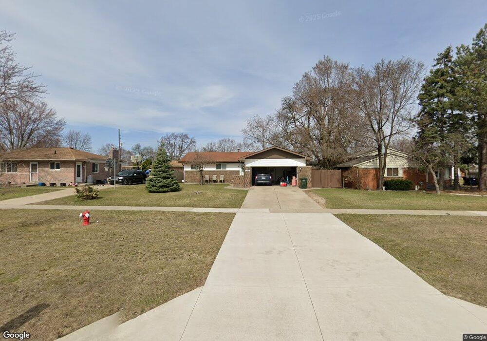
11817 19 Mile Rd Unit Bldg-Unit Sterling Heights, MI 48313
Estimated Value: $294,440 - $323,000
--
Bed
3
Baths
1,175
Sq Ft
$262/Sq Ft
Est. Value
About This Home
This home is located at 11817 19 Mile Rd Unit Bldg-Unit, Sterling Heights, MI 48313 and is currently estimated at $307,860, approximately $262 per square foot. 11817 19 Mile Rd Unit Bldg-Unit is a home located in Macomb County with nearby schools including Browning Elementary School, Bemis Junior High School, and Henry Ford II High School.
Ownership History
Date
Name
Owned For
Owner Type
Purchase Details
Closed on
Sep 15, 2020
Sold by
Morefield Cynthia R
Bought by
Perry Nicholas A and Perry Julie A
Current Estimated Value
Home Financials for this Owner
Home Financials are based on the most recent Mortgage that was taken out on this home.
Original Mortgage
$209,000
Outstanding Balance
$185,130
Interest Rate
2.8%
Mortgage Type
New Conventional
Estimated Equity
$122,730
Purchase Details
Closed on
Jul 6, 2018
Sold by
Lietke Tracie
Bought by
Morefield Cynthia R
Home Financials for this Owner
Home Financials are based on the most recent Mortgage that was taken out on this home.
Original Mortgage
$180,900
Interest Rate
4.5%
Mortgage Type
New Conventional
Purchase Details
Closed on
Dec 4, 2009
Sold by
Mitchell Donna
Bought by
Bank Of America National Association
Purchase Details
Closed on
Nov 29, 2004
Sold by
Raska Joseph T
Bought by
Mitchell Donna
Home Financials for this Owner
Home Financials are based on the most recent Mortgage that was taken out on this home.
Original Mortgage
$33,500
Interest Rate
5.9%
Mortgage Type
Stand Alone Second
Create a Home Valuation Report for This Property
The Home Valuation Report is an in-depth analysis detailing your home's value as well as a comparison with similar homes in the area
Home Values in the Area
Average Home Value in this Area
Purchase History
| Date | Buyer | Sale Price | Title Company |
|---|---|---|---|
| Perry Nicholas A | $220,000 | Title Solutions Agency Llc | |
| Morefield Cynthia R | $201,000 | None Available | |
| Bank Of America National Association | $100,000 | None Available | |
| Mitchell Donna | $167,700 | -- |
Source: Public Records
Mortgage History
| Date | Status | Borrower | Loan Amount |
|---|---|---|---|
| Open | Perry Nicholas A | $209,000 | |
| Previous Owner | Morefield Cynthia R | $180,900 | |
| Previous Owner | Mitchell Donna | $33,500 |
Source: Public Records
Tax History Compared to Growth
Tax History
| Year | Tax Paid | Tax Assessment Tax Assessment Total Assessment is a certain percentage of the fair market value that is determined by local assessors to be the total taxable value of land and additions on the property. | Land | Improvement |
|---|---|---|---|---|
| 2025 | $5,033 | $127,700 | $0 | $0 |
| 2024 | $4,192 | $121,900 | $0 | $0 |
| 2023 | $3,749 | $106,900 | $0 | $0 |
| 2022 | $4,154 | $99,900 | $0 | $0 |
| 2021 | $3,722 | $96,500 | $0 | $0 |
| 2020 | $3,032 | $92,200 | $0 | $0 |
| 2019 | $1,971 | $85,300 | $0 | $0 |
| 2018 | $1,974 | $70,300 | $0 | $0 |
| 2017 | $2,120 | $62,500 | $12,000 | $50,500 |
| 2016 | $1,971 | $62,500 | $0 | $0 |
| 2015 | -- | $58,500 | $0 | $0 |
| 2014 | -- | $53,100 | $0 | $0 |
Source: Public Records
Map
Nearby Homes
- 12107 19 Mile Rd
- 11835 Lewlund Dr
- 12133 Chattman Dr
- 11898 Lewlund Dr
- 11615 Diehl Dr
- 43606 Gainsley Dr
- 42222 Mac Rae Dr
- 12840 19 Mile Rd
- 13036 Concord Dr
- 11827 Shetland Ct
- 11156 Diamond Dr
- 42811 Wilmington Dr
- 42153 Mac Rae Dr
- 42708 Wilmington Dr
- 42049 Farm Lane Ct
- 9001 Hensley Dr
- 12115 Canal Rd
- 8958 Shannon Dr
- 12862 Beechnut Dr
- 41718 Mae Wood Dr
- 11817 19 Mile Rd
- 11831 19 Mile Rd
- 11803 19 Mile Rd
- 11847 19 Mile Rd
- 11766 Chattman Dr
- 11789 19 Mile Rd
- 11828 Chattman Dr
- 11859 19 Mile Rd
- 11752 Chattman Dr
- 11840 Chattman Dr
- 11725 19 Mile Rd
- 11871 19 Mile Rd
- 11740 Chattman Dr
- 11816 19 Mile Rd
- 11852 Chattman Dr
- 11828 19 Mile Rd
- 11804 19 Mile Rd
- 11840 19 Mile Rd
- 11711 19 Mile Rd
- 12134 19 Mile Rd