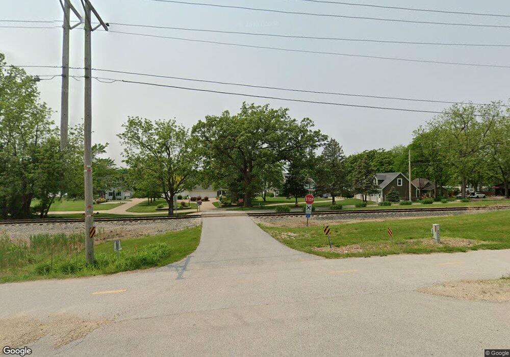
11818 Route 84 N Port Byron, IL 61275
Estimated Value: $453,000 - $626,000
--
Bed
--
Bath
2,915
Sq Ft
$192/Sq Ft
Est. Value
About This Home
This home is located at 11818 Route 84 N, Port Byron, IL 61275 and is currently estimated at $559,359, approximately $191 per square foot. 11818 Route 84 N is a home located in Rock Island County with nearby schools including Riverdale Elementary School, Riverdale Middle School, and Riverdale Senior High School.
Ownership History
Date
Name
Owned For
Owner Type
Purchase Details
Closed on
Jul 2, 2024
Sold by
Erickson Keith G and Erickson Gene M
Bought by
Robert J Barnard Revocable Trust and Barnard
Current Estimated Value
Create a Home Valuation Report for This Property
The Home Valuation Report is an in-depth analysis detailing your home's value as well as a comparison with similar homes in the area
Home Values in the Area
Average Home Value in this Area
Purchase History
| Date | Buyer | Sale Price | Title Company |
|---|---|---|---|
| Robert J Barnard Revocable Trust | $565,000 | None Listed On Document |
Source: Public Records
Tax History Compared to Growth
Tax History
| Year | Tax Paid | Tax Assessment Tax Assessment Total Assessment is a certain percentage of the fair market value that is determined by local assessors to be the total taxable value of land and additions on the property. | Land | Improvement |
|---|---|---|---|---|
| 2024 | $11,572 | $181,242 | $48,952 | $132,290 |
| 2023 | $11,572 | $166,277 | $44,910 | $121,367 |
| 2022 | $10,717 | $156,545 | $42,833 | $113,712 |
| 2021 | $9,874 | $148,384 | $40,600 | $107,784 |
| 2020 | $9,710 | $146,191 | $40,000 | $106,191 |
| 2019 | $9,745 | $146,191 | $40,000 | $106,191 |
| 2018 | $9,665 | $147,757 | $41,946 | $105,811 |
| 2017 | $9,499 | $147,757 | $41,946 | $105,811 |
| 2016 | $9,387 | $145,717 | $41,367 | $104,350 |
| 2015 | $8,810 | $136,296 | $38,692 | $97,604 |
| 2014 | $1,876 | $133,623 | $37,933 | $95,690 |
| 2013 | $1,876 | $133,623 | $37,933 | $95,690 |
Source: Public Records
Map
Nearby Homes
- 11816 N 84 Hwy
- 22799 Great River Rd
- 28176 226th St
- 28018 230th St
- 0 218th St
- 1105 N High St
- 28055 238th St
- Lot 25 238th St
- 0 277th Unit MRDQC4261105
- 1914 Ridgefield Dr
- 27841 Bowker Dr
- 1502 Highway 67
- LOT 201 James St
- 1204 N Cody Rd
- 1128 N Cody Rd
- 127 Walnut St
- 401 Oak Blvd
- Lot A B C D N Cody Rd
- 1225 N 2nd St
- 11 Viola Dr
- 11818 Illinois 84
- 12000 Route 84 N
- 11816 Route 84 N
- 12010 Route 84 N
- 2345 N High St
- 0 Elm Shore Dr
- 12030 Route 84 N
- 11821 Route 84 N
- 1707 Elm Shore Dr
- 12023 Route 84 N
- 12110 Route 84 N
- 1620 N High St
- 1618 N High St
- 12122 Route 84 N
- 12122 Rt 84 N None
- 12122 N Rt 84 None
- 1703 Elm Shore Dr
- 12204 Route 84 N
- 1625 Elm Shore Dr
- 12216 Route 84 N
