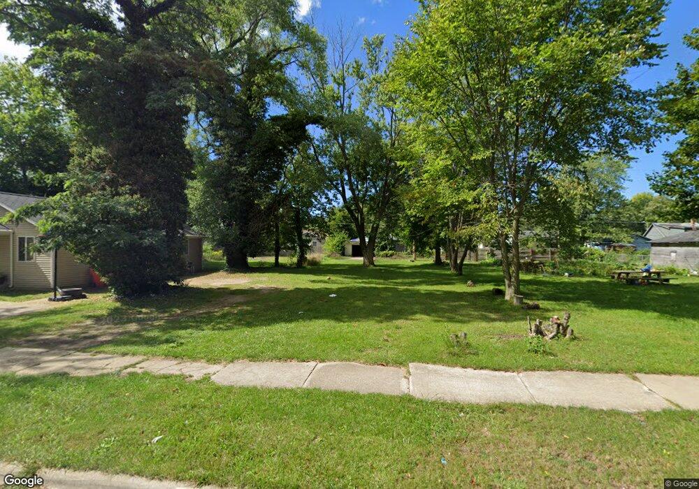
1182 Pearl St Benton Harbor, MI 49022
Estimated Value: $114,000 - $128,000
--
Bed
--
Bath
--
Sq Ft
6,534
Sq Ft Lot
About This Home
This home is located at 1182 Pearl St, Benton Harbor, MI 49022 and is currently estimated at $120,479. 1182 Pearl St is a home located in Berrien County with nearby schools including Fair Plain Middle School, Benton Harbor High School, and Benton Harbor Charter School Academy.
Ownership History
Date
Name
Owned For
Owner Type
Purchase Details
Closed on
Dec 30, 2016
Sold by
Berrien County
Bought by
City Of Benton Harbor
Current Estimated Value
Purchase Details
Closed on
Aug 12, 2004
Sold by
Premier Property Investments
Bought by
Broyle Paulia Leshondra
Home Financials for this Owner
Home Financials are based on the most recent Mortgage that was taken out on this home.
Original Mortgage
$17,000
Interest Rate
8.25%
Mortgage Type
Seller Take Back
Purchase Details
Closed on
Mar 8, 2004
Sold by
Chemical Bank Shoreline
Bought by
Jdt Land Llc
Purchase Details
Closed on
Dec 1, 2003
Sold by
Falcone Christopher S and Falcone Lee L
Bought by
Chemical Bank Shoreline
Purchase Details
Closed on
Dec 28, 2000
Purchase Details
Closed on
Feb 7, 1996
Purchase Details
Closed on
Jun 18, 1992
Purchase Details
Closed on
Oct 1, 1987
Create a Home Valuation Report for This Property
The Home Valuation Report is an in-depth analysis detailing your home's value as well as a comparison with similar homes in the area
Home Values in the Area
Average Home Value in this Area
Purchase History
| Date | Buyer | Sale Price | Title Company |
|---|---|---|---|
| City Of Benton Harbor | -- | Attorney | |
| Broyle Paulia Leshondra | $47,000 | -- | |
| Jdt Land Llc | $12,186 | -- | |
| Chemical Bank Shoreline | -- | -- | |
| -- | -- | -- | |
| -- | -- | -- | |
| -- | $8,500 | -- | |
| -- | $8,500 | -- |
Source: Public Records
Mortgage History
| Date | Status | Borrower | Loan Amount |
|---|---|---|---|
| Previous Owner | Broyle Paulia Leshondra | $17,000 |
Source: Public Records
Tax History Compared to Growth
Tax History
| Year | Tax Paid | Tax Assessment Tax Assessment Total Assessment is a certain percentage of the fair market value that is determined by local assessors to be the total taxable value of land and additions on the property. | Land | Improvement |
|---|---|---|---|---|
| 2025 | -- | $0 | $0 | $0 |
| 2024 | -- | $0 | $0 | $0 |
| 2023 | -- | $0 | $0 | $0 |
| 2022 | $0 | $0 | $0 | $0 |
| 2021 | $0 | $0 | $0 | $0 |
| 2020 | $4 | $0 | $0 | $0 |
| 2019 | $4 | $0 | $0 | $0 |
| 2018 | $4 | $0 | $0 | $0 |
| 2017 | $1 | $0 | $0 | $0 |
| 2016 | $0 | $20,900 | $0 | $0 |
| 2015 | $1,117 | $20,100 | $0 | $0 |
| 2014 | $948 | $24,400 | $0 | $0 |
Source: Public Records
Map
Nearby Homes
- 1267 Broadway
- 1097 Pearl St
- 361 E May St
- 1332 Columbus Ave
- 1219 Ogden Ave
- 1301 Superior St
- 972 Pearl St
- 180 Emery Ave
- 1235 Colfax Ave
- 979 Lavette Ave
- 1129 Jennings Ave
- 349 E Empire Ave
- 1142 Bishop Ave
- 941 Colfax Ave
- 960 Jennings Ave
- 872 Mcalister Ave
- 171 E Empire Ave
- 833 Pearl St
- 960 Union Ave
- 202 Searles Ave