Estimated Value: $303,000 - $362,000
3
Beds
2
Baths
1,380
Sq Ft
$233/Sq Ft
Est. Value
About This Home
This home is located at 1182 S Eifert Rd, Mason, MI 48854 and is currently estimated at $322,211, approximately $233 per square foot. 1182 S Eifert Rd is a home located in Ingham County with nearby schools including Mason High School.
Ownership History
Date
Name
Owned For
Owner Type
Purchase Details
Closed on
Jul 23, 2010
Sold by
Meyer Michael and Malczewski Stephanie
Bought by
Meyer Michael J and Meyer Stephanie L
Current Estimated Value
Purchase Details
Closed on
Nov 18, 2009
Sold by
Denniston John M and Denniston Elaine M
Bought by
Meyer Michael and Malczewski Stephanie
Home Financials for this Owner
Home Financials are based on the most recent Mortgage that was taken out on this home.
Original Mortgage
$163,817
Outstanding Balance
$106,418
Interest Rate
4.9%
Mortgage Type
FHA
Estimated Equity
$215,793
Purchase Details
Closed on
Dec 31, 1997
Sold by
Robert Hill Builders
Bought by
Denniston John M and Denniston Elaine M
Purchase Details
Closed on
Jul 3, 1997
Sold by
Smith Howard R
Bought by
Robert Hill Builders
Create a Home Valuation Report for This Property
The Home Valuation Report is an in-depth analysis detailing your home's value as well as a comparison with similar homes in the area
Home Values in the Area
Average Home Value in this Area
Purchase History
| Date | Buyer | Sale Price | Title Company |
|---|---|---|---|
| Meyer Michael J | -- | None Available | |
| Meyer Michael | $175,000 | Tri County Title Agency Llc | |
| Denniston John M | $133,000 | -- | |
| Robert Hill Builders | $20,000 | -- |
Source: Public Records
Mortgage History
| Date | Status | Borrower | Loan Amount |
|---|---|---|---|
| Open | Meyer Michael | $163,817 |
Source: Public Records
Tax History
| Year | Tax Paid | Tax Assessment Tax Assessment Total Assessment is a certain percentage of the fair market value that is determined by local assessors to be the total taxable value of land and additions on the property. | Land | Improvement |
|---|---|---|---|---|
| 2025 | $4,100 | $160,300 | $13,500 | $146,800 |
| 2024 | $24 | $152,500 | $13,000 | $139,500 |
| 2023 | $3,836 | $142,400 | $8,700 | $133,700 |
| 2022 | $3,616 | $120,300 | $14,500 | $105,800 |
| 2021 | $3,563 | $111,400 | $0 | $111,400 |
| 2020 | $4,169 | $105,600 | $11,300 | $94,300 |
| 2019 | $3,373 | $107,600 | $13,200 | $94,400 |
| 2018 | $3,286 | $96,600 | $13,200 | $83,400 |
| 2017 | $2,875 | $96,600 | $13,200 | $83,400 |
| 2016 | -- | $91,000 | $13,200 | $77,800 |
| 2015 | -- | $87,800 | $26,368 | $61,432 |
| 2014 | -- | $82,600 | $26,368 | $56,232 |
Source: Public Records
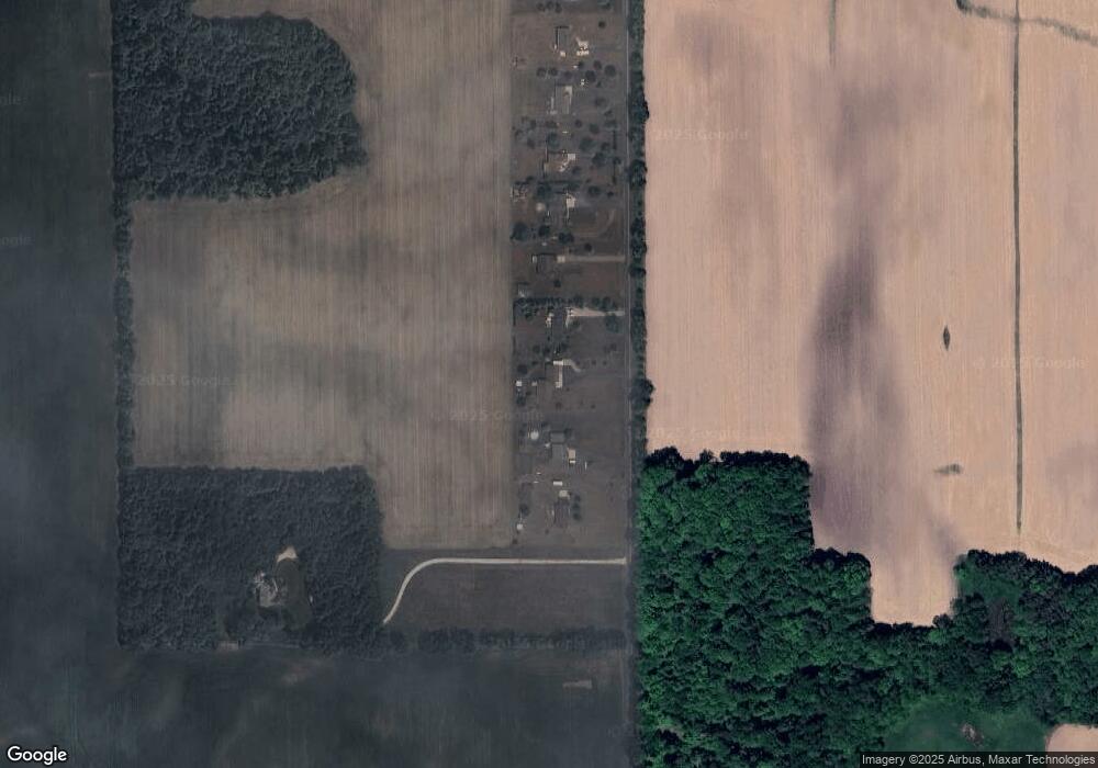
Map
Nearby Homes
- 0 S Aurelius Rd Unit 292647
- 900 S Aurelius Rd
- 380 Spicetree Ln Unit 48
- 376 Spicetree Ln Unit 47
- 4939 W Columbia Rd
- 0 Bond Rd Unit 291019
- 6401 Curtice Rd
- 285 N Aurelius Rd
- Vl Gale Rd
- 4789 Nichols Rd
- 300 S College Rd
- 5 W Barnes Rd
- 610 Grovenburg Rd
- 943 S Michigan Rd
- 3725 W Howell Rd
- 0 Eifert Rd
- 11484 Columbia Hwy
- 331 N College Rd
- 2835 Tomlinson Rd
- 6042 Amanda Dr
- 1170 S Eifert Rd
- 1206 S Eifert Rd
- 1156 S Eifert Rd
- 1218 S Eifert Rd
- 1142 S Eifert Rd
- 1128 S Eifert Rd
- 1114 S Eifert Rd
- V/L S Eifert Rd
- VL S Eifert Rd
- 0 S Eifert Rd
- 1102 S Eifert Rd
- 1240 S Eifert Rd
- 1086 S Eifert Rd
- 1072 S Eifert Rd
- 1069 S Eifert Rd
- 1058 S Eifert Rd
- 1040 S Eifert Rd
- 1035 S Eifert Rd
- 5005 Bunker Rd
Your Personal Tour Guide
Ask me questions while you tour the home.