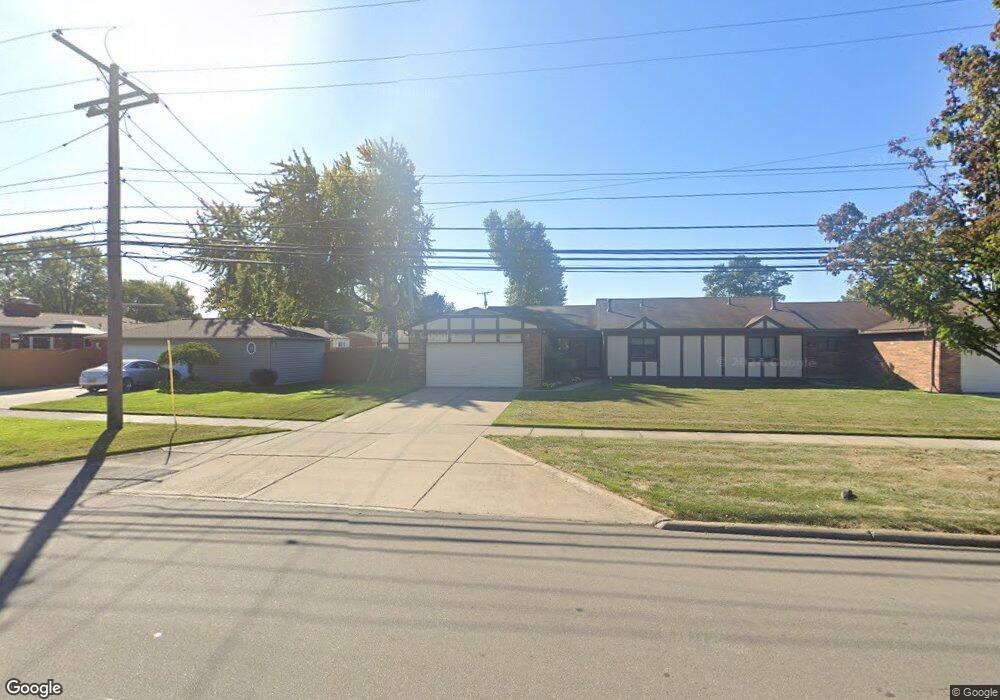
11820 Common Rd Unit 6 Warren, MI 48093
Northeast Warren NeighborhoodEstimated Value: $199,000 - $213,000
3
Beds
2
Baths
1,575
Sq Ft
$132/Sq Ft
Est. Value
About This Home
This home is located at 11820 Common Rd Unit 6, Warren, MI 48093 and is currently estimated at $208,578, approximately $132 per square foot. 11820 Common Rd Unit 6 is a home located in Macomb County with nearby schools including Warren Woods Tower High School, Frontier International Academy Elementary, and Warren SDA Junior Academy.
Ownership History
Date
Name
Owned For
Owner Type
Purchase Details
Closed on
Nov 4, 2020
Sold by
Lewis William
Bought by
Lewis William and Lewis Kelly
Current Estimated Value
Purchase Details
Closed on
Jun 30, 2010
Sold by
Gravel Janet and Kolodziejski Mary Jane
Bought by
Lewis William
Purchase Details
Closed on
Jul 11, 2005
Sold by
Obrien John D and Obrien Rita
Bought by
Obrien John D and Obrien Rita
Purchase Details
Closed on
Mar 23, 2005
Sold by
Mack William J and Mack Family Living Trust
Bought by
Obrien John and Obrien Rita
Purchase Details
Closed on
Aug 9, 2002
Sold by
Mack Leona and Mack William F
Bought by
Mack Leona M and Smith Donna M
Purchase Details
Closed on
Sep 29, 1998
Sold by
Minch Joyce M
Bought by
Mack Leona
Purchase Details
Closed on
Dec 14, 1995
Sold by
Saad J and Saad K
Bought by
Minch R and Minch J
Create a Home Valuation Report for This Property
The Home Valuation Report is an in-depth analysis detailing your home's value as well as a comparison with similar homes in the area
Home Values in the Area
Average Home Value in this Area
Purchase History
| Date | Buyer | Sale Price | Title Company |
|---|---|---|---|
| Lewis William | -- | None Available | |
| Lewis William | $89,500 | Premier Title Agency Llc | |
| Obrien John D | -- | Premier Title | |
| Obrien John | $160,000 | Colonial Title Company | |
| Mack Leona M | -- | Colonial Title Co | |
| Mack Leona | $137,500 | -- | |
| Minch R | $123,900 | -- |
Source: Public Records
Tax History Compared to Growth
Tax History
| Year | Tax Paid | Tax Assessment Tax Assessment Total Assessment is a certain percentage of the fair market value that is determined by local assessors to be the total taxable value of land and additions on the property. | Land | Improvement |
|---|---|---|---|---|
| 2025 | $3,653 | $88,060 | $0 | $0 |
| 2024 | $3,575 | $86,060 | $0 | $0 |
| 2023 | $3,385 | $84,200 | $0 | $0 |
| 2022 | $3,210 | $69,270 | $0 | $0 |
| 2021 | $3,175 | $63,780 | $0 | $0 |
| 2020 | $2,310 | $60,340 | $0 | $0 |
| 2019 | $2,207 | $59,280 | $0 | $0 |
| 2018 | $66 | $49,420 | $0 | $0 |
| 2017 | $2,108 | $48,890 | $5,250 | $43,640 |
| 2016 | $2,092 | $48,890 | $0 | $0 |
| 2015 | -- | $45,080 | $0 | $0 |
| 2013 | $2,021 | $39,550 | $0 | $0 |
Source: Public Records
Map
Nearby Homes
- 29819 Bonnie Dr
- 29723 Roan Dr
- 29654 Hoover Rd Unit 129
- 30329 Blancke Dr
- 29638 Hoover Rd Unit 638
- 29626 Hoover Rd Unit 626
- 29366 Wagner Dr
- 11616 Lynch Ct
- 30154 Pinto Dr
- 29820 Palomino Dr
- 11377 Irene Ave
- 30218 Palomino Dr
- 11916 Geoffry Dr
- 11447 Edwin Dr
- 29667 Newport Dr
- 30763 Roan Dr
- 30419 Iroquois Dr
- 29379 Newport Dr
- 11357 Geoffry Dr
- 30252 Newport Dr
- 11800 Common Rd Unit 5
- 11780 Common Rd
- 11760 Common Rd
- 11740 Common Rd
- 11720 Common Rd
- 11775 Dorothy Ln Unit Bldg-Unit
- 11751 Dorothy Ln Unit 10
- 11775 Dorothy Ln
- 11751 Dorothy Ln
- 11727 Dorothy Ln
- 11739 Dorothy Ln Unit 9
- 30002 Aleta Cir
- 30005 Smith Dr
- 11763 Dorothy Ln
- 11715 Dorothy Ln
- 11673 Dorothy Ln
- 11651 Dorothy Ln
- 11649 Dorothy Ln Unit 4
- 29879 Norma Dr
- 29867 Norma Dr